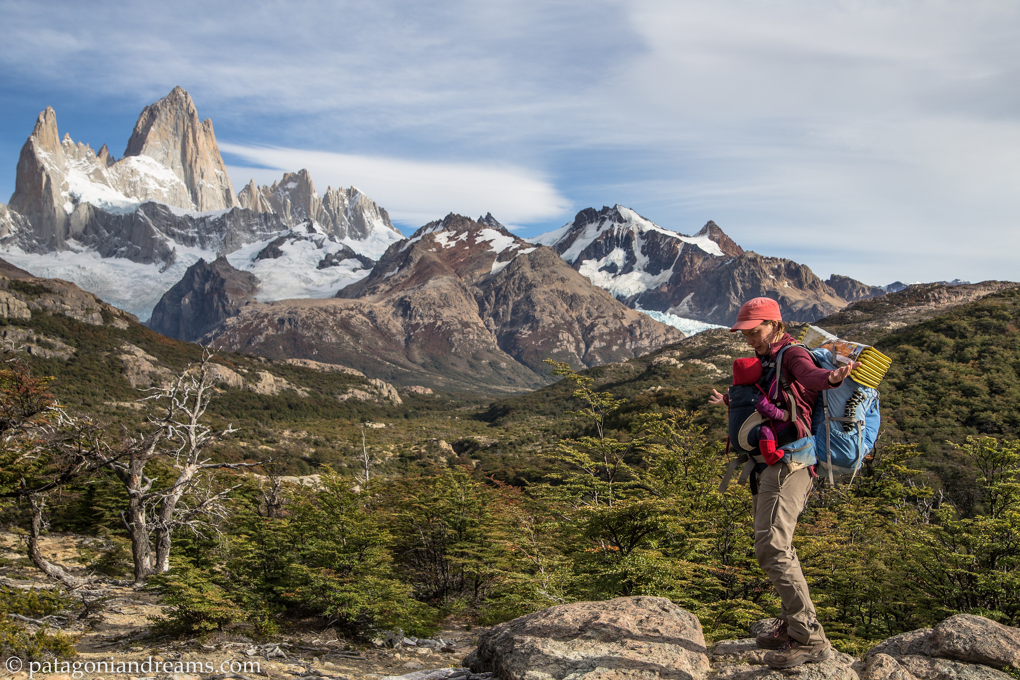
Backpacking Patagonia with a baby and a toddler (austral summer 2019)

“Life itself is the most wonderful fairy tale.” – Hans Christen Andersen

Peek-a-boo…. Is blogging still a thing in 2023-2024? This old adventure was in my concept folder, so why not releasing it after 4 years of empty silence on these pages?

So what’s up?

Our adventures have been far from idle, as little guy Pelle joined our journey in the summer of 2021, expanding our family to five members. For the latest updates on our recent escapades, check out our Instagram profile. Additionally, I’m currently in the process of editing a YouTube report documenting our three-month Patagonia adventure from the early months of 2022. Stay tuned for more!
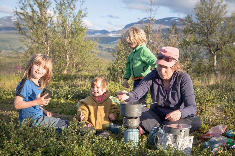
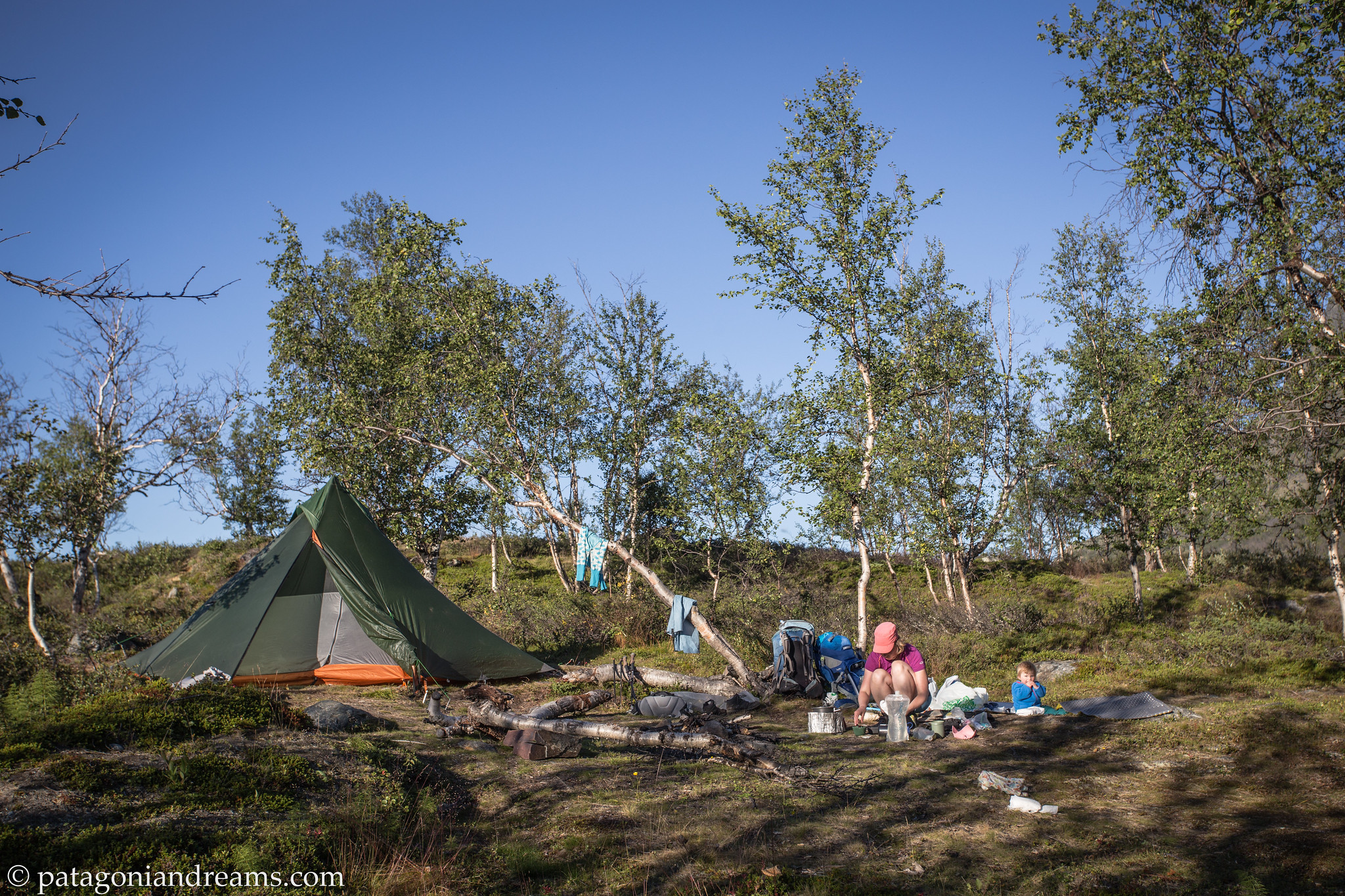
Mama with three little adventurers. August 2022. Abisko National Park. Swedish Lapland. Mama cooking dinner with a little help from the happy bunch. August 2022. Abisko National Park. Swedish Lapland.

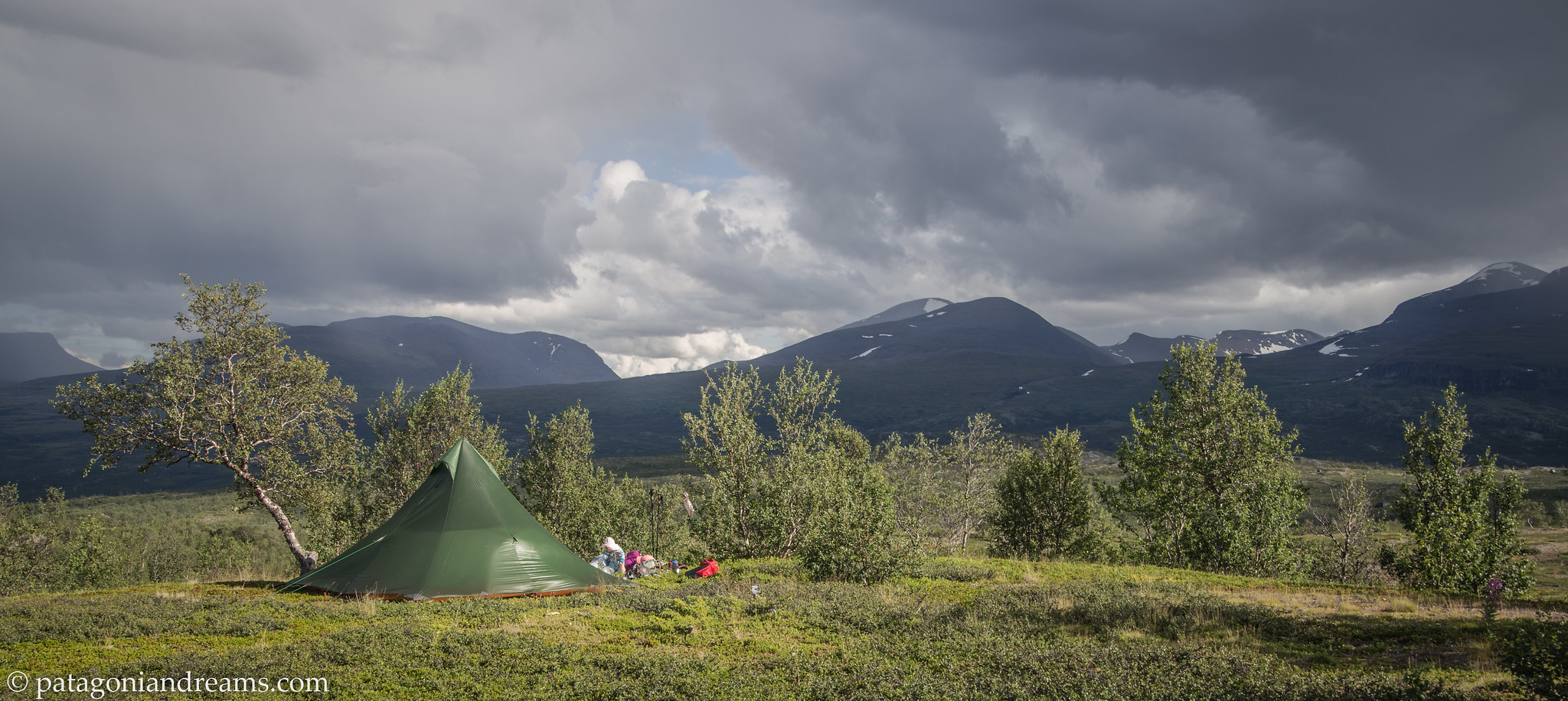
Bivaouc on the Marsfjället. July 2023. Southern Lapland. Sweden. Bivaouc on the Marsfjället last summer. July 2023. Southern Lapland. Sweden.
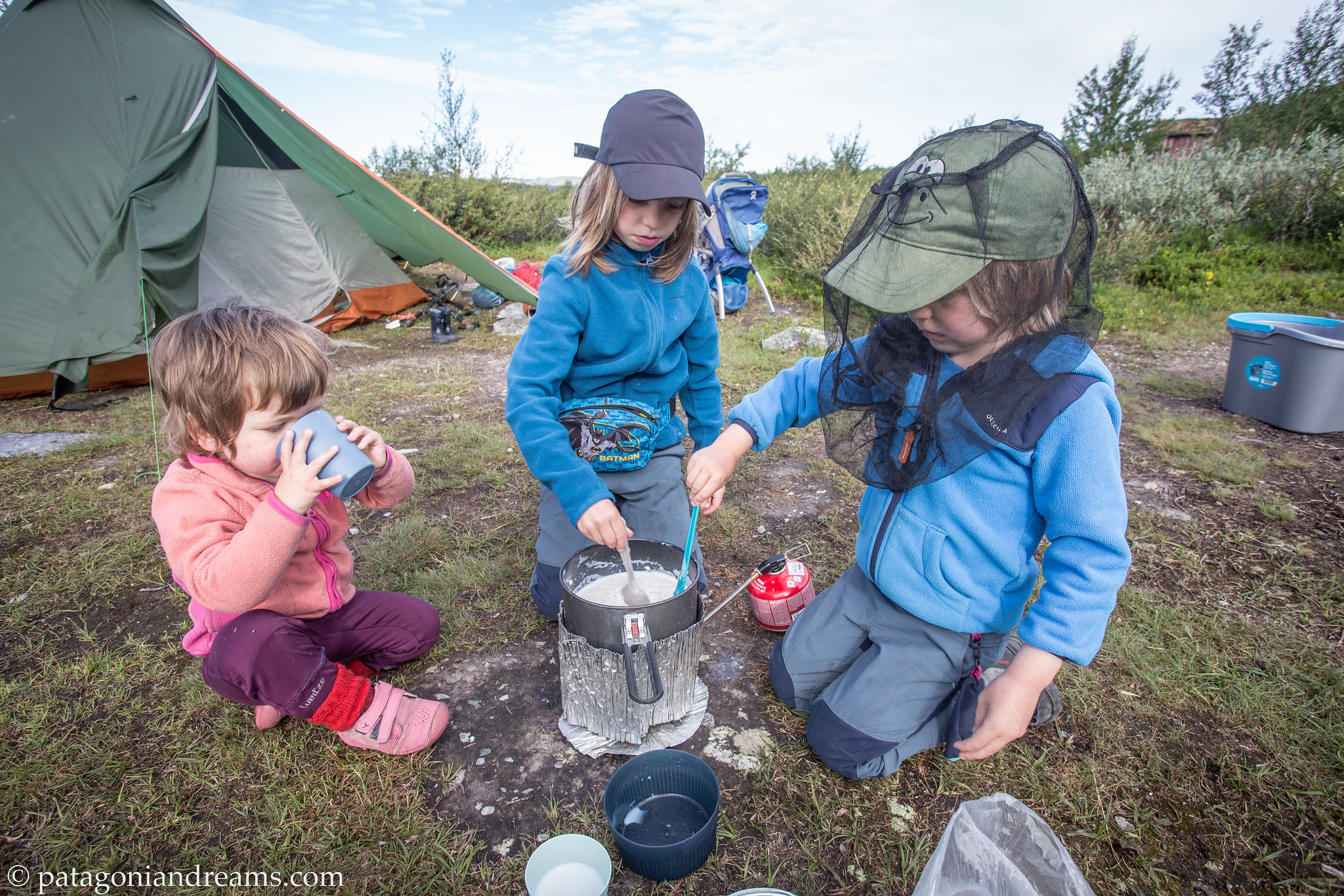
Breakfast on a sunny morning on the Marsfjället. July 2023. Southern Lapland. Sweden. Breakfast on a sunny morning on the Marsfjället. July 2023. Southern Lapland. Sweden.

Patagonia 2019 report

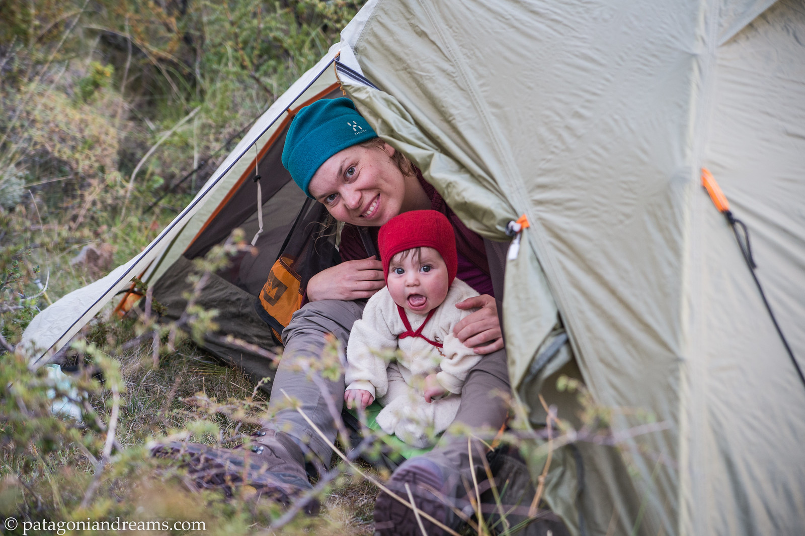
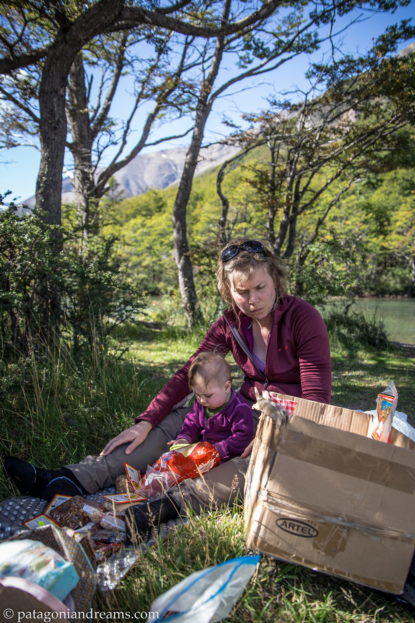
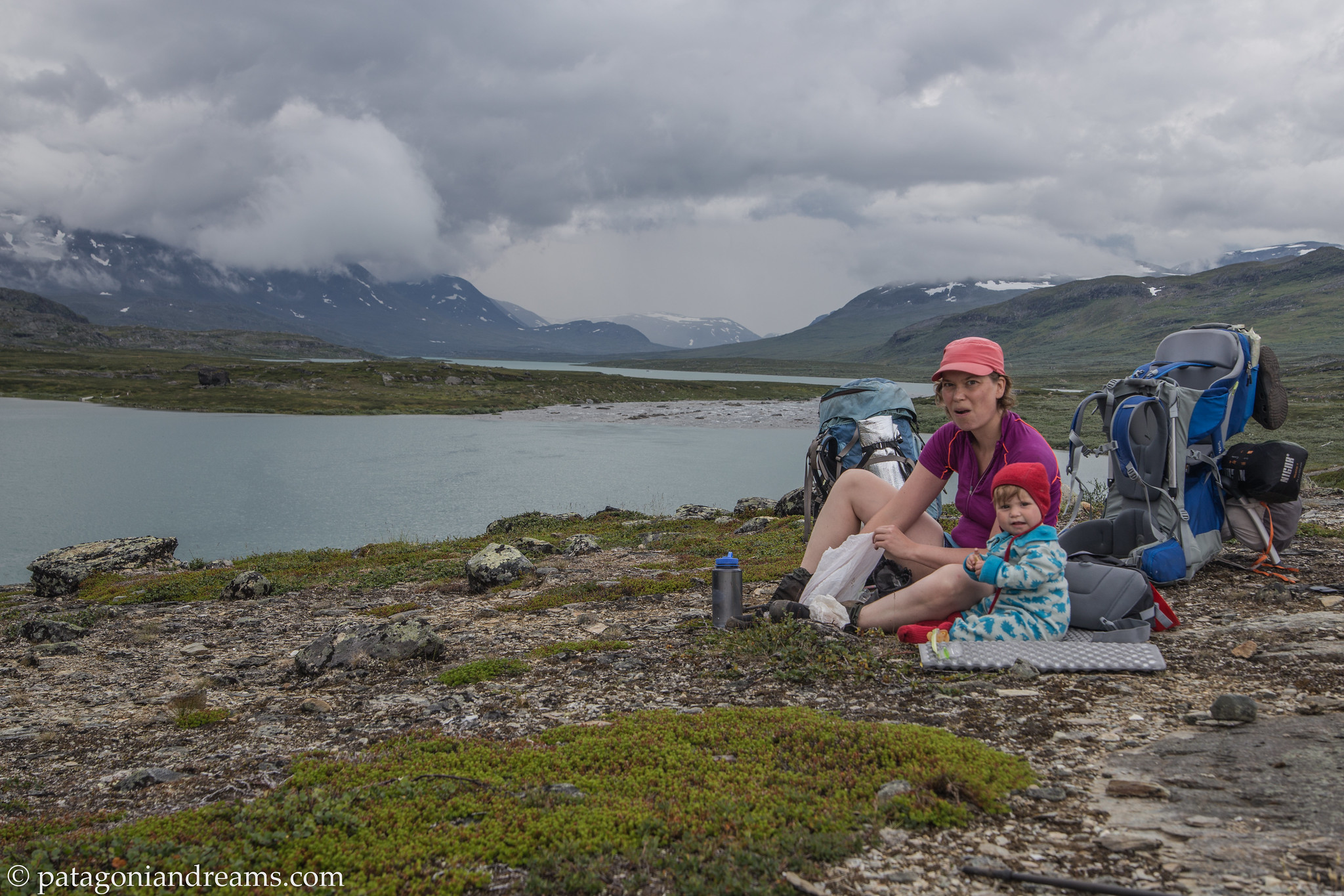
Ok. Time to go back almost 5 years. Explore a visual chronicle capturing Bosse’s six-week birth journey in the picturesque landscapes of Patagonian Chile and Argentina during the months of March and April 2019. Bosse was 6 months old at the start of the trip. Lotta was 3 and a half. It was a trip with ups and downs, because Bosse got sick 2 times. But the weather was great, and we had a wonderfull time!

For those who prefer to see a short aftermovie, we like to recommend:
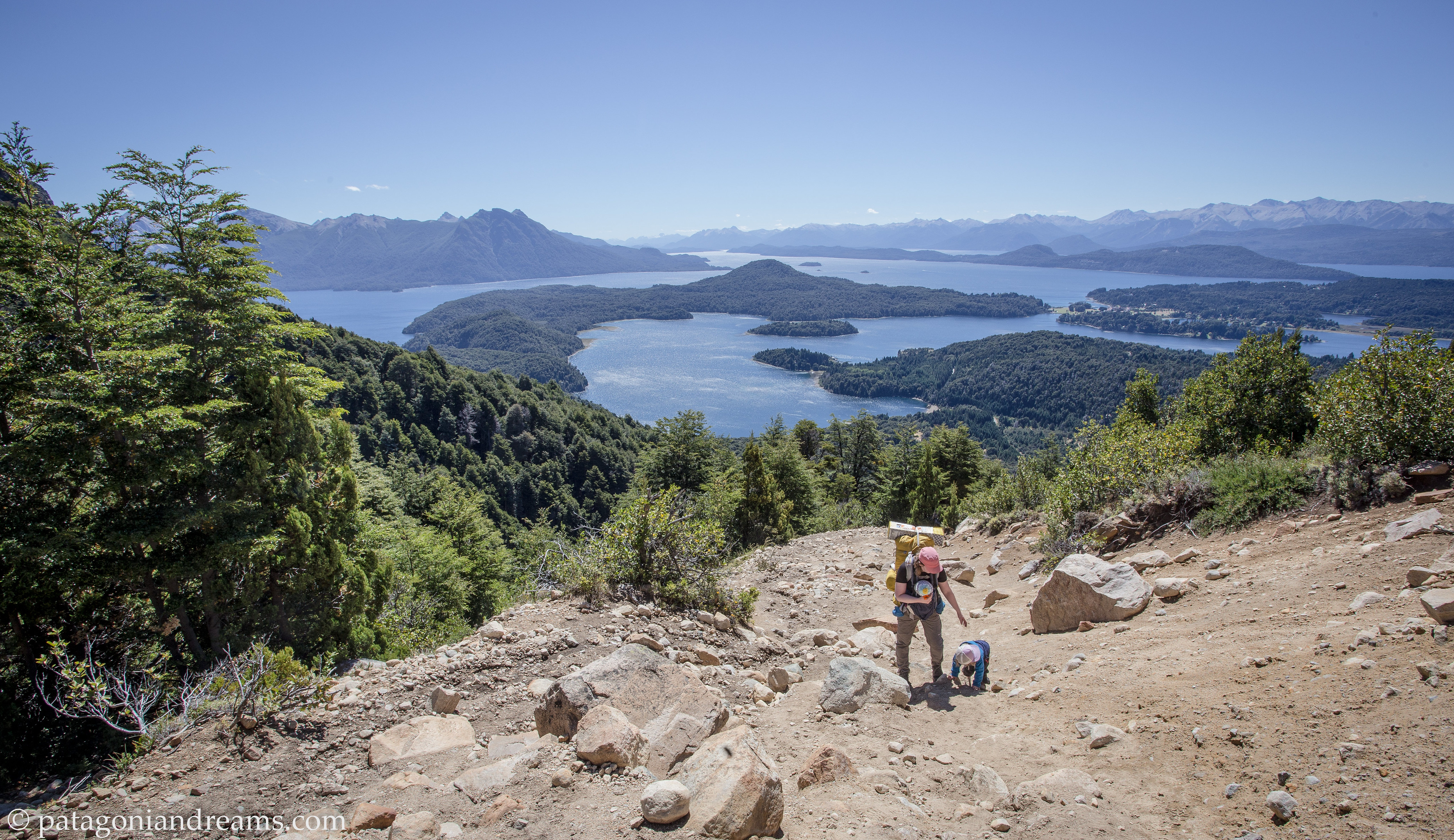
Refugio Cerro Lopez Climbing towards the Refugio Cerro Lopez, PN Nahuel Huapi, Río Negro, Patagonia, Argentina

Native lenga forrest Native lenga forrest on the climb towards the Refugio Cerro Lopez, PN Nahuel Huapi, Río Negro, Patagonia, Argentina

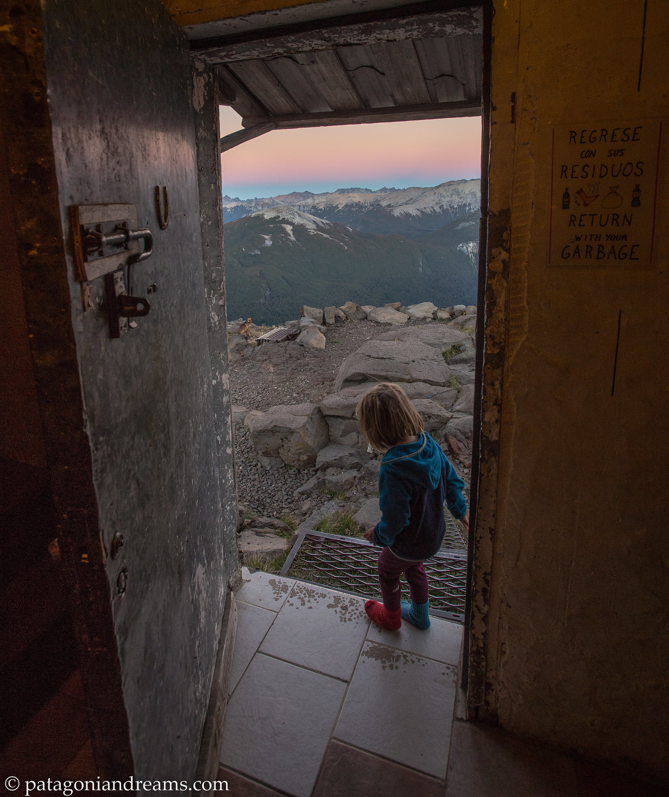
Refugio Cerro Lopez Refugio Cerro Lopez at sunrise, high above the Lago Nahuel Huapi, PN Nahuel Huapi, Río Negro, Patagonia, Argentina

Lago Gutiérrez Camping on the shores of Lago Gutiérrez, within the grounds of Los Baqueanos, Río Negro, Patagonia, Argentina , Río Negro, Patagonia, Argentina

Lago Gutiérrez Camping on the shores of Lago Gutiérrez, within the grounds of Los Baqueanos, Río Negro, Patagonia, Argentina , Río Negro, Patagonia, Argentina<
Rest stop Lunch stop on the 12k trek towards Refugio Encanto Blanco, Comarca andina del Paralelo 42, Patagonia, Argentina


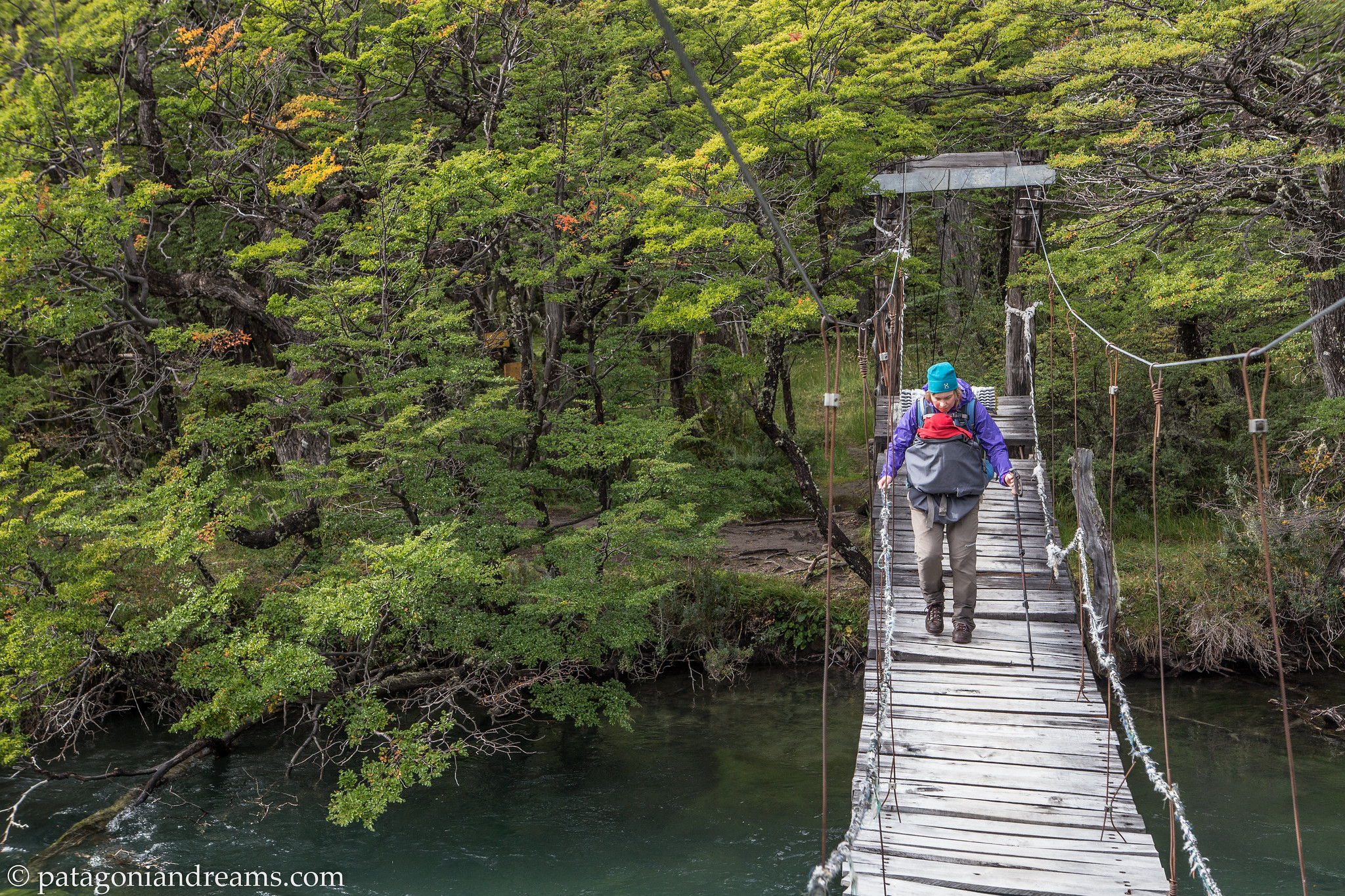
Refugio Encanto Blanco Crossing the suspension bridge near Refugio Encanto Blanco, Río Negro, Patagonia, Argentina
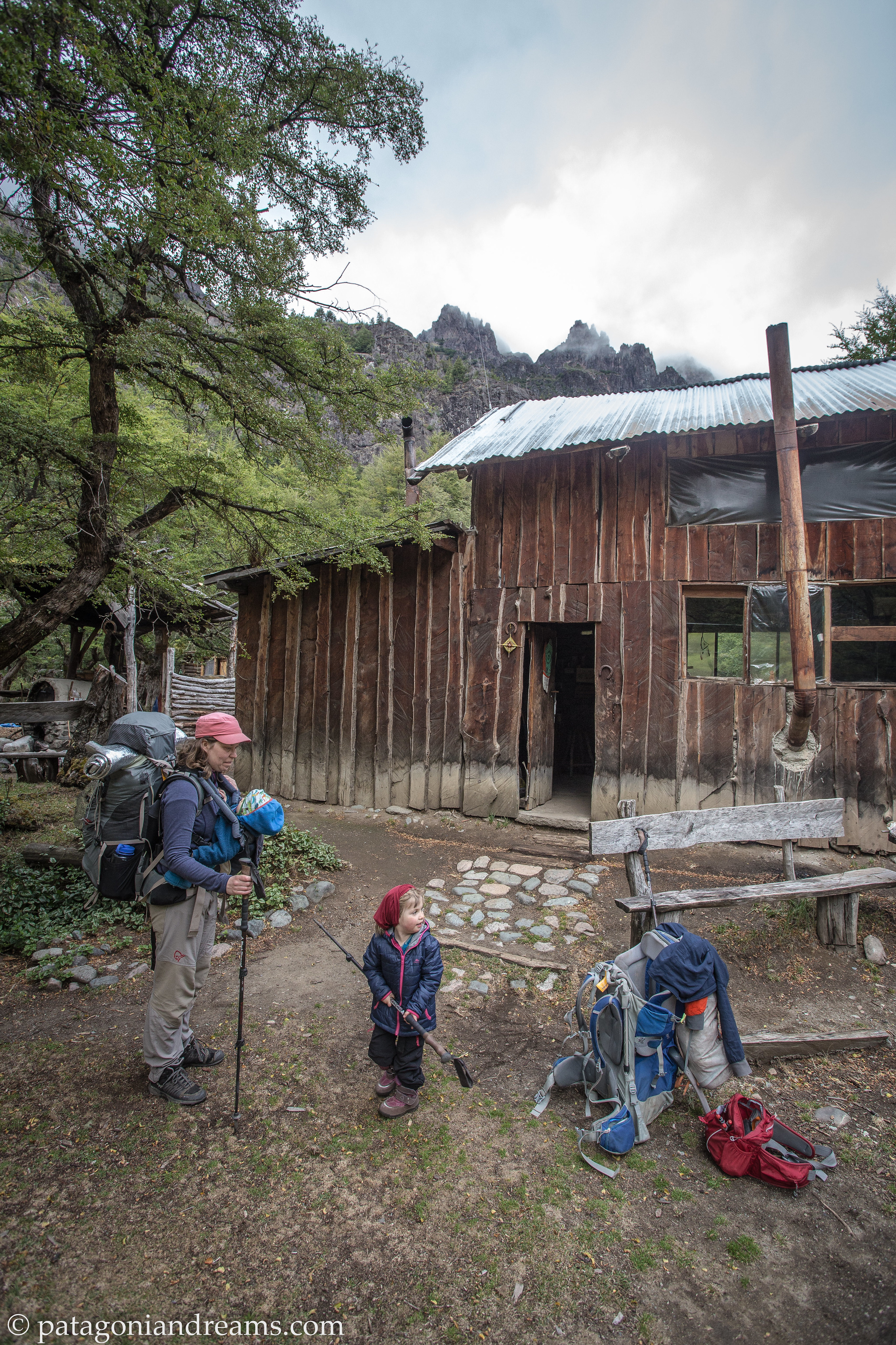
 

Refugio Encanto Blanco Arrived save and sound at Refugio Encanto Blanco, Río Negro, Patagonia, Argentina
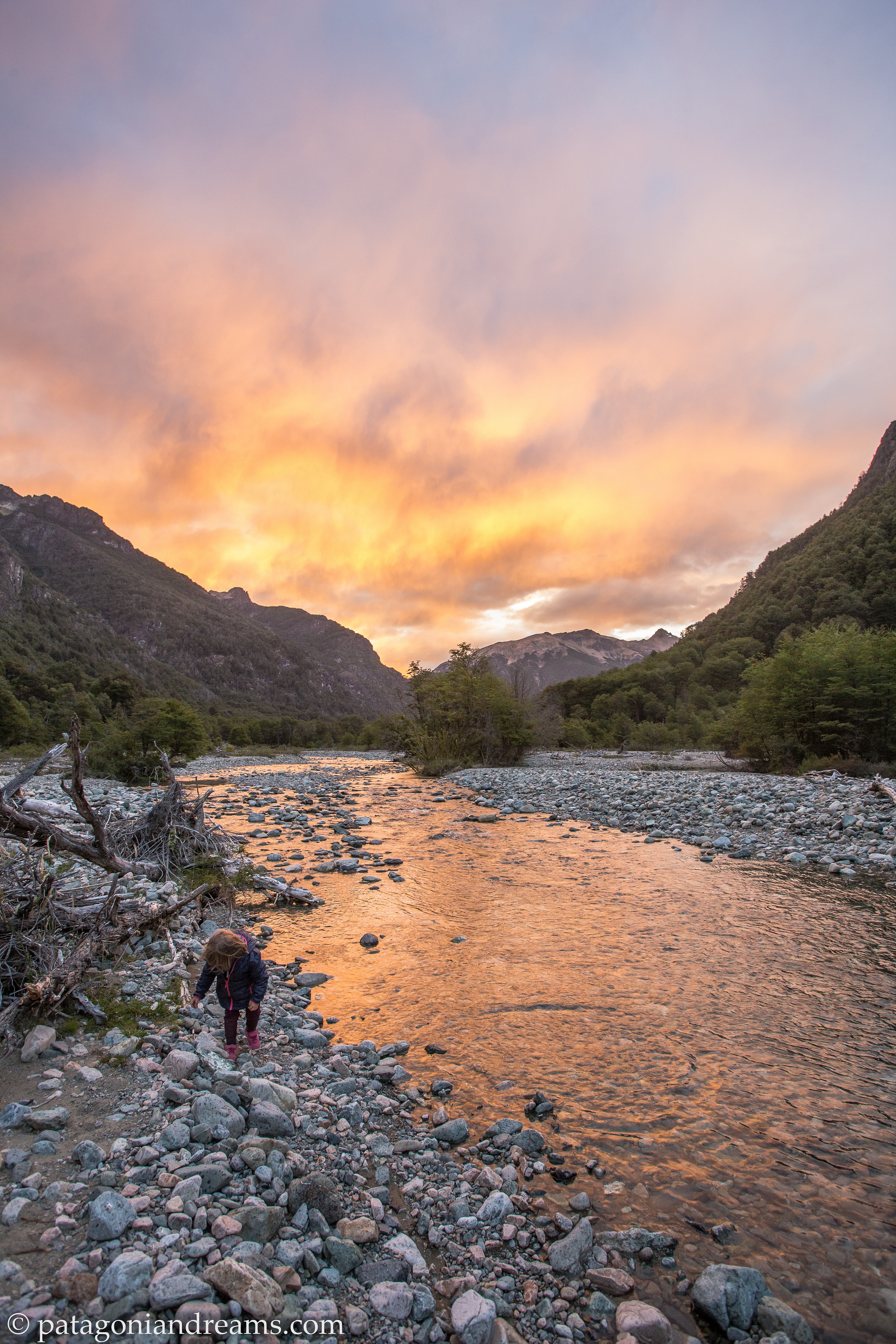
Rest stop Dusk near the Refugio Encanto Blanco, Río Negro, Patagonia, Argentina


La Tronchita Riding the old Patagonian Express through the steppes of Chubut, Patagonia, Argentina

Cueva de los Manos The Cueva de las Manos is an archaeological site with 10.000 years old cave paintings, located in the deep canyon of the Pinturas River, northwest of the Province of Santa Cruz, Patagonia, Argentina. There are hundreds of images of hands in collages on the walls. There are also images of animals that can still be found in the area. Furthermore, there are many images of the hunt.


Cueva de los Manos It’s a small hike from the information centre to reach the Cueva de las Manos. Santa Cruz, Patagonia, Argentina.


Cueva de los Manos The Ruta 40 runs parallel to the Andes Mountains and extends along or through several national parks. It is the longest backroad in Argentina, crossing from south to north and passing through several tourist regions and the main attractions of its territory. We drove the Patagonian stretch for hours without crossing any oncoming traffic. We stayed overnight in the hamlet of Baja Caracoles on our way to the remote PN Perito Moreno. Local farmers gather in the café of the roadstop hotel, which is the only one in a 150km radius.
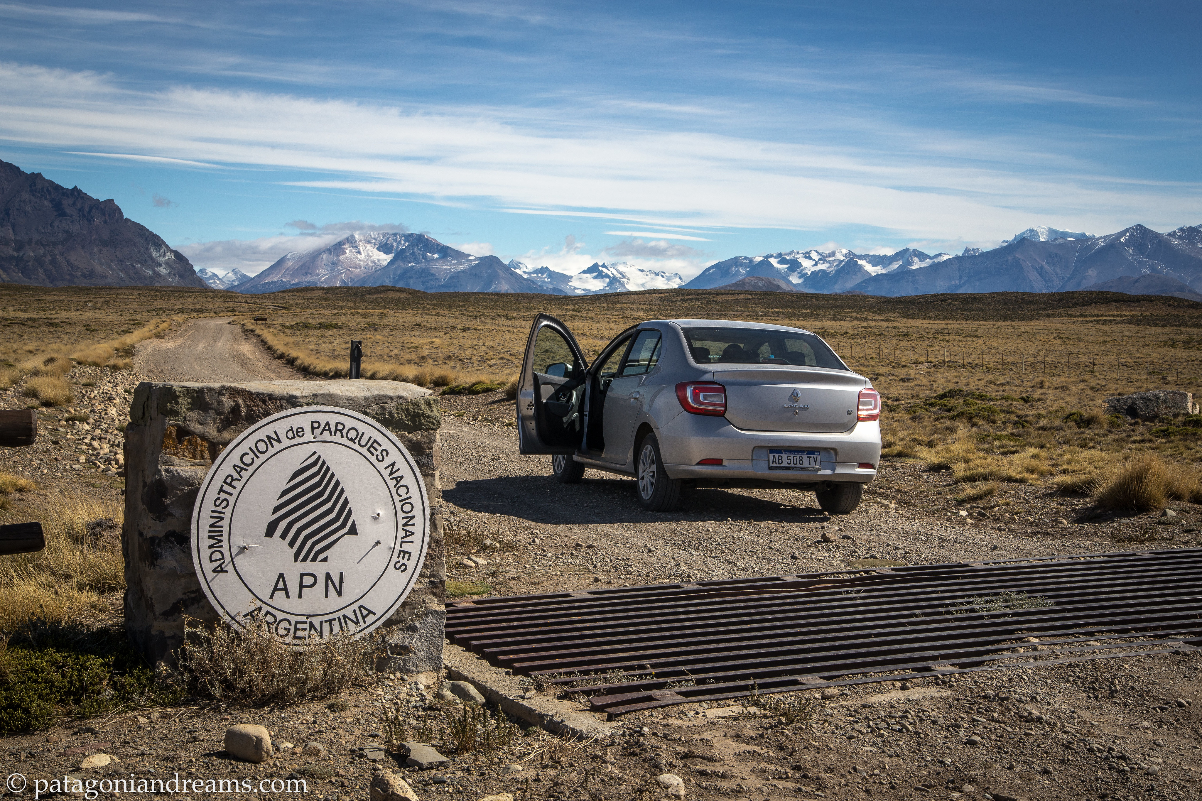
 

Perito Moreno entrance The Parque Nacional Perito Moreno is a national park of Argentina, located in the center-west of the province of Santa Cruz in Southern Patagonia, on the border with Chile. It is very remote. The closest resuply town is a 4 hours drive away of which 2 hours on a bad gravel road.


“We initially planned a 5-day trek to the base of Cerro San Lorenzo, but after just 3 days, we had to leave the park. Baby Bosse developed a high fever, prompting our early departure. However, we promised to return, and we fulfilled that promise in February 2022 (trip report in the next blog update).

Gilberto shelter The Parque Nacional Perito Moreno got recent funds from the Butler Conservation fund to build a netwerk of shelters throughout the eastern side of the park. The connection trailnetwork have the potential to become world-class trekking grounds, but for now, the park stays very remote and out of reach of most visitors to Patagonia. We stayed the night in the Gilberto shelter at the San Lorenzo trailhead.


Lagos Escondidos The Lagos Escondidos website has all necessary information for a wonderfull multiday adventure in the park.


Perito Moreno Cerro Leon Cerro León (1405m) offers beautiful views both to the north – Río Lácteo Valley and Cerro Volcán and to the south – the turquoise colored Lago Belgrano and Peninsula Belgrano (on which we would do a 4 day trek during our 3 month trip in 2022, see report in future blog post).


Perito Moreno entrance In Los Antiguos we let the baby sweat out the bronchitis. The oasis is located near the border with Chile and on the shores of Lago Buenos Aires, where the economic activity par excellence is fruit and vegetable farming.


We cross into Chile to travel back northward on the Carretera Austral (Austral Highway). More than 1,200 kilometers of natural beauty await you on this scenic Patagonian Route. Adventures we had on that stretch you will find in previous blog posts from 2013 and 2016. Chilean government promotes the region through the Ruta de los Parques website .
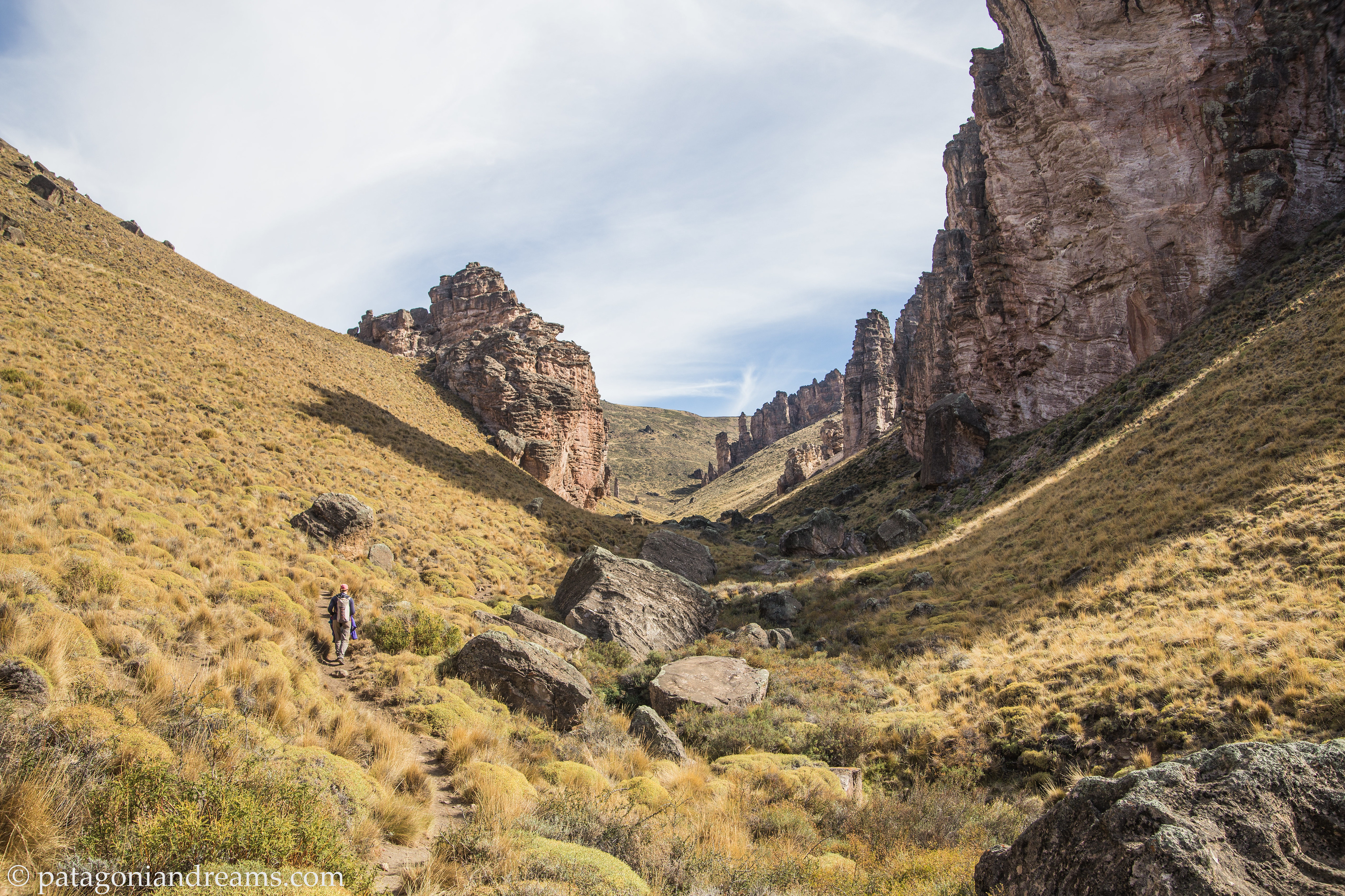
Valle Lunar Jeinimeini Close to Chile Chico (just across the border from Los Antiguos) you can walk the Circuito Cueva de las Manos, Piedra Clavada y Valle Lunar in the new Patagonia National Park. It allows to appreciate very special rock formations of 350 million years, older than the Andes self.


Valle Lunar Jeinimeini Lunch break in the Valle Lunar, near some ancient rock cave paintings.


Cerro Castillo After crossing the the Lago Gen. Carrera by ferry the majestic Cerro Castillo range never fails to dissapoint.
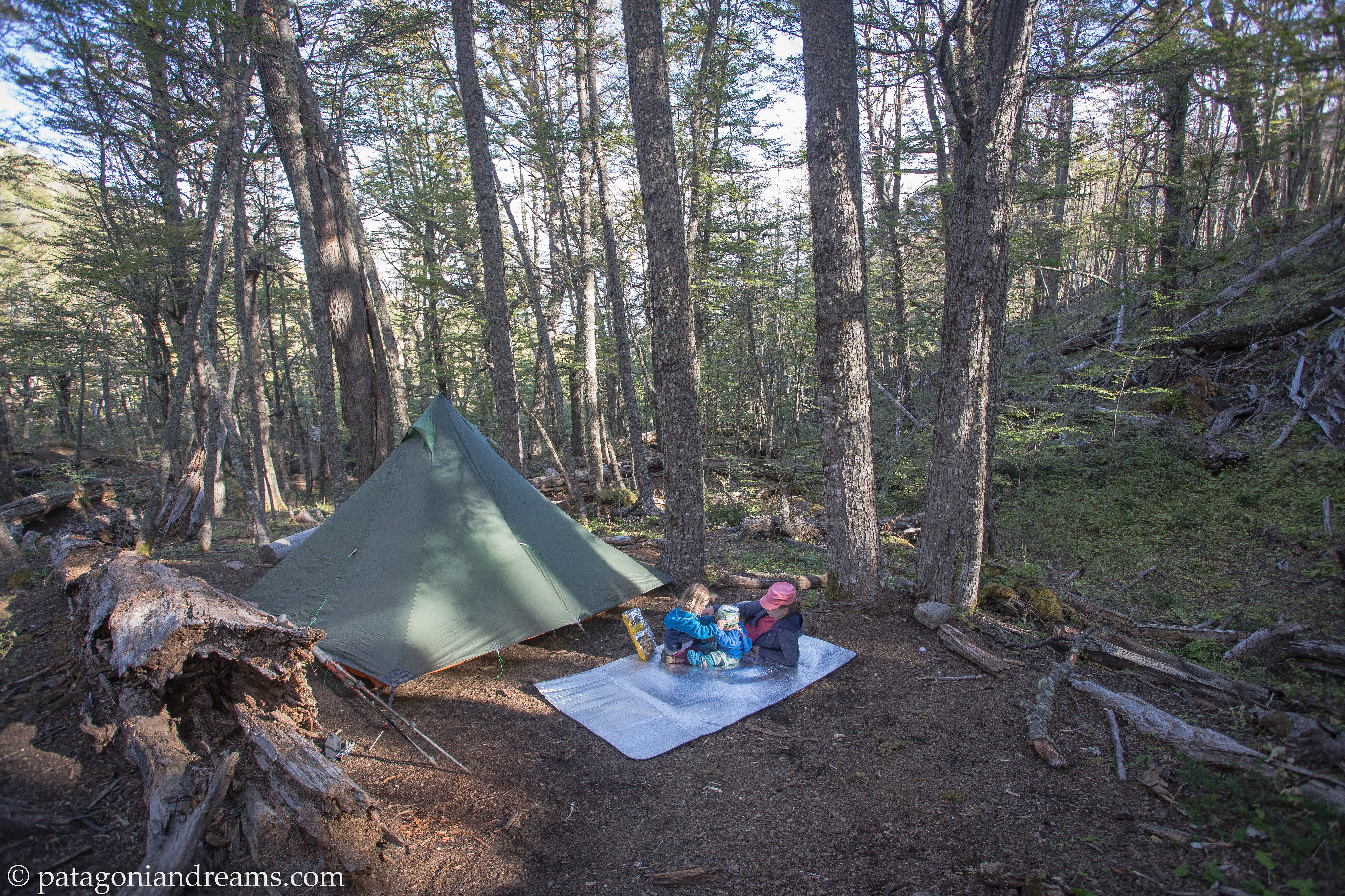
 

Cerro Castillo In the Cerro Castillo National Park we did a 3-day overnight trek into the valley Neozelandes. Here we set up the tent at camp porteadores.


Cerro Castillo In the Cerro Castillo National Park we hiked up Morro Negro during our 3-day overnight trek into the valley Neozelandes.


Cerro Castillo In the Cerro Castillo National Park we hiked up Morro Negro, high above the Rio Ibanez valley, during our 3-day overnight trek into the valley Neozelandes.


Cerro Castillo Coming down in windy conditions from the Cerro Castillo National Park.


Lago Las Torres Picnic stop in Reserva Nacional Lago Las Torres. Carretera Austral (Ruta 7). Aysén, Chile.
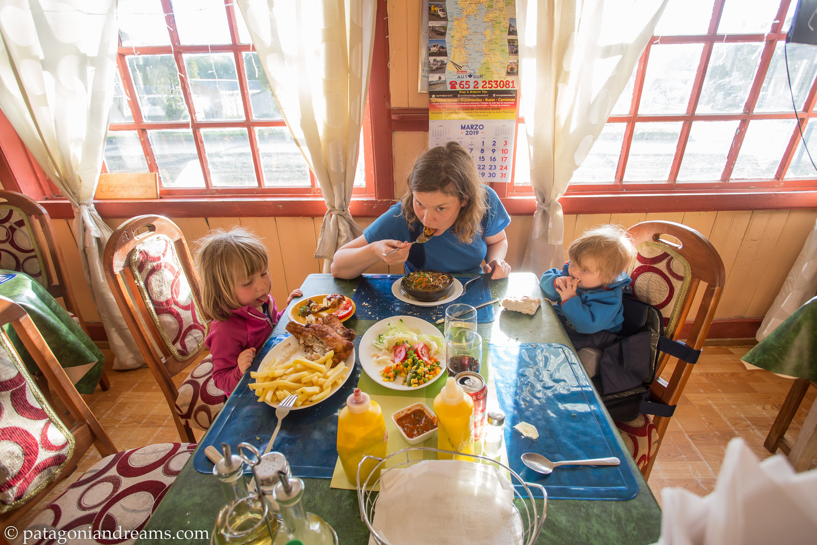
 

chaiten
Delicious food at comedor el muñeco. Chaitén, Los Lagos, Chile.


chaiten
In the meanwhile outside at comedor el muñeco. Chaitén, Los Lagos, Chile.


chaiten
Volcanic beach playing at dusk. Volcán Puntiagudo in the background. Chaitén, Los Lagos, Chile.


chaiten
PUMALÍN DOUGLAS TOMPKINS NATIONAL PARK harbors the threatened Alerce (Fitzroya) tree. 25 percent of Chile’s remaining Alerces can be found in this National Park. These ancient trees’ 3,000 years of life help to tell a timeless story of this pristine ecosystem, tucked in the Palena Province. PUMALÍN DOUGLAS TOMPKINS NATIONAL PARK , Los Lagos, Chile.


osorno
Along the Mirador Cerro La Picada trail, at the foot of Volcán Osorno.
Vicente Pérez Rosales National Park , Los Lagos, Chile.


osorno
Descend to the shores of Lago de Todos Santos, at the foot of Volcán Osorno.
Vicente Pérez Rosales National Park , Los Lagos, Chile.


osorno
Descend to the shores of Lago de Todos Santos, at the foot of Volcán Osorno.
Vicente Pérez Rosales National Park , Los Lagos, Chile.


osorno
Don’t throw stones! Volcanic beach Camping La Montaña at the shores of Lago Llanquihue. Los Lagos. Chile..


osorno Twinkle, twinkle, little milky way. Lago Llanquihue. Los Lagos. Chile.
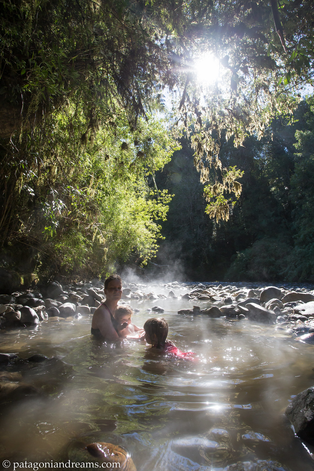
Rest stop Pozones thermales in the shallows of Río Chanleufú. Puyehue National Park. Los Lagos. Chile.

osorno
Exploring volcanic wasteland close to Paso Cardenal Antonio Samoré. Los Lagos. Chile..

garganta
Garganta del diablo, amphitiator at the foot of the Cerro Tronador. Nahuel Huapi National Park. Río Negro and Neuquén provinces, Argentina.

garganta
Ventisquero Negro. Cerro Tronador. Nahuel Huapi National Park. Río Negro and Neuquén provinces, Argentina.

garganta
Indian summer while overnight hiking up Cerro Tronador to Refugio Otto Meiling. Nahuel Huapi National Park. Río Negro and Neuquén provinces, Argentina.

ottomeiling The hike from Pampa Linda to Refugio Otto Meiling is well-marked, winding through the lenga forest and gradually ascending towards the iconic Cerro Tronador. The final stretch becomes rocky and more exposed, with trail markings painted on stones. This challenging hike covers approximately 12 km and boasts an ascent of nearly 1100 m, so be prepared! Refugio Otto Meiling. is situated between the Castaña Overa and Alerce glaciers on Cerro Tronador and offers some of the best panoramic views in Patagonia. Refugio Otto Meiling. Nahuel Huapi National Park. Río Negro and Neuquén provinces, Argentina.
ottomeiling All of history in one picture! This historic mountain hut was built in 1950 and named after the German mountaineer Otto Meiling. who is known for having explored the far corners of the Nahuel Huapi National Park. Río Negro, Argentina.


ottmeiling
Cerro Tronador at dusk! With Refugio Otto Meiling getting it’s morning sun. The mountain’s name comes from the Spanish word for thunder, a reference to the sound that the breaking ice glaciers make. It is 3,554 metres (11,660 feet) above sea level , towering over the surrounding Nahuel Huapi Park mountains. Mount Tronador has seven glaciers which are melting because of global warming.

Glaciar castaño overo Glaciar castaño overo spilling of the flanks of Cerro Tronador, PN Nahuel Huapi, Río Negro, Patagonia, Argentina

2024 holds big plans for us. Next summer, we’re gearing up for a gap year (!) of family adventures. Stay tuned!

Backpacking in the Canadian Rockies with a toddler (2017, part 1)

“It does not do to dwell on dreams and forget to live.” ― J.K. Rowling

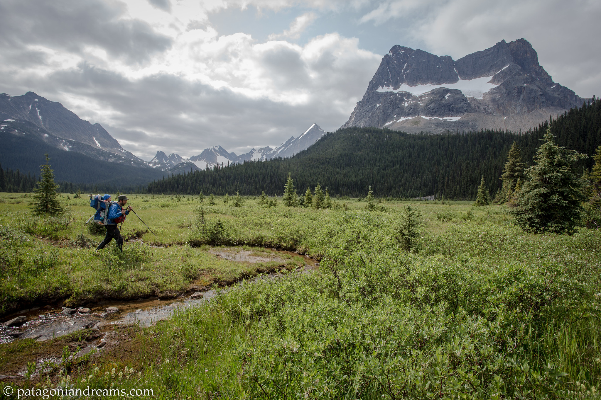
Back in the summer of 2017 we spent 5 weeks of backpacking with Lotta in the Canadian Rockies. It was a hot and dry summer. On those 5 weeks, we only experienced 2 days of rain. Good for us, but not so for British Columbia‘s wild backcountry. It was the summer with a huge amount of wildfires in British Columbia. Hazy air caused by the cluster of wildfires has spread over the Rockies. Some days the mountain backdrop was invisible due to the haze, but we we’re never affected by smoke during our backpacking trips.

Lotta was 19 months old on this long backpacking trip. It was one year before her brother Bosse was born. She was carried in the Thule Sappling. It was the last trip on which we could do longer multi-day treks with distances covering over 20k per day. Since Lotta walks for herself, future trips would be much shorter…

Maligne Lake Viewpoint is a 12 kilometer moderately trafficked out and back trail located near Jasper, Alberta, Canada.

Maligne Lake Viewpoint is a 12 kilometer moderately trafficked out and back trail located near Jasper, Alberta, Canada. Jasper National Park

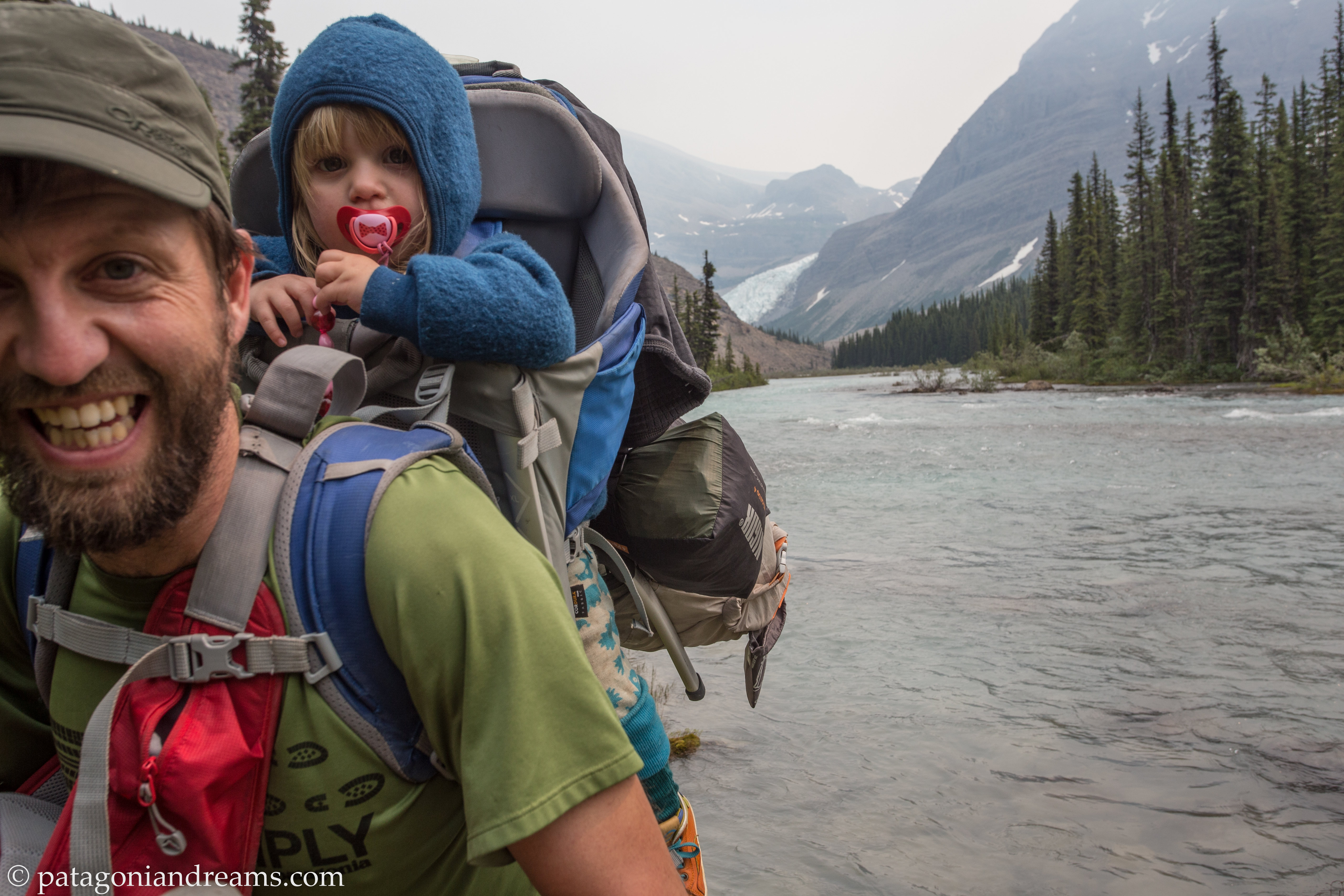
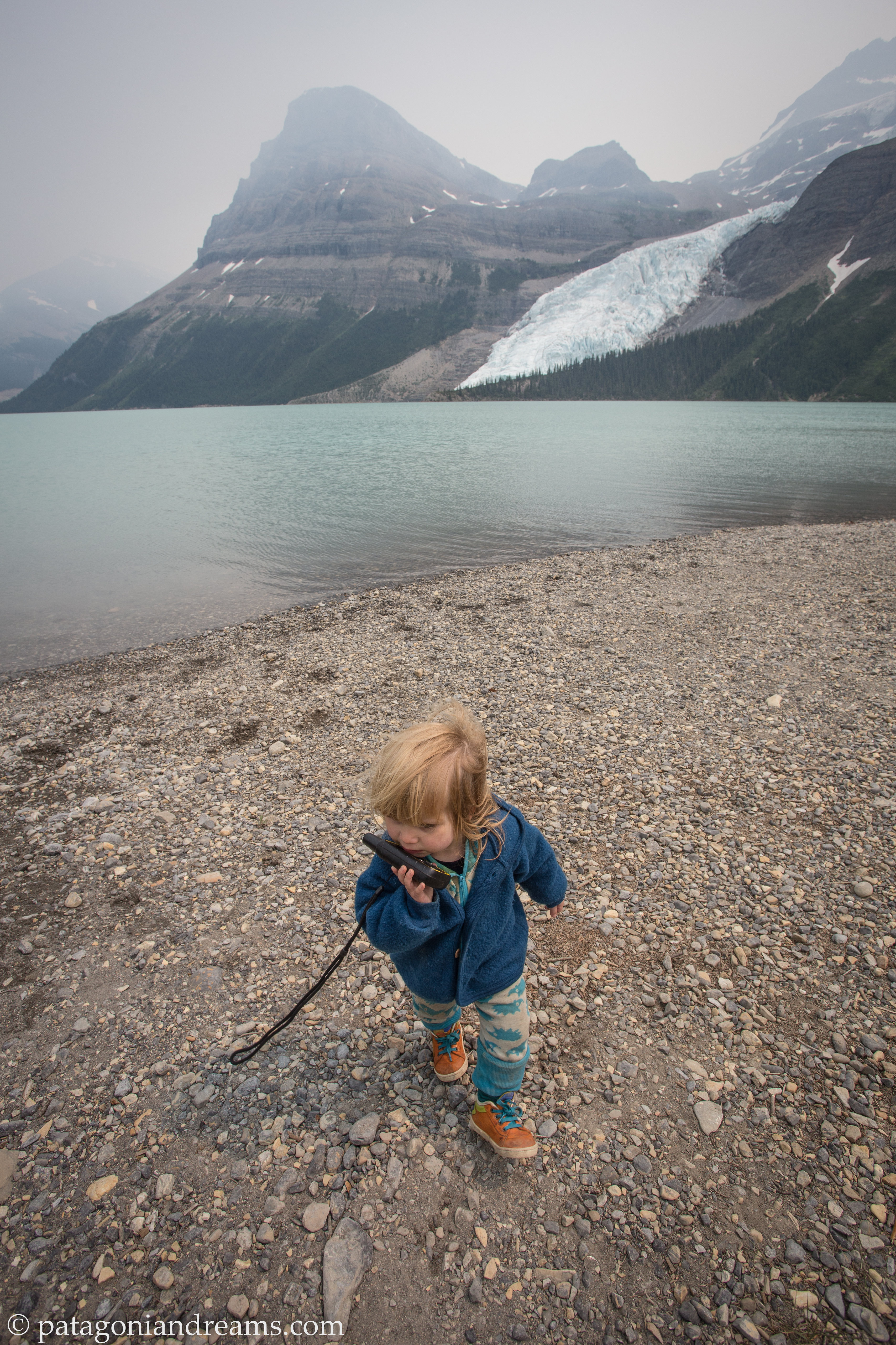
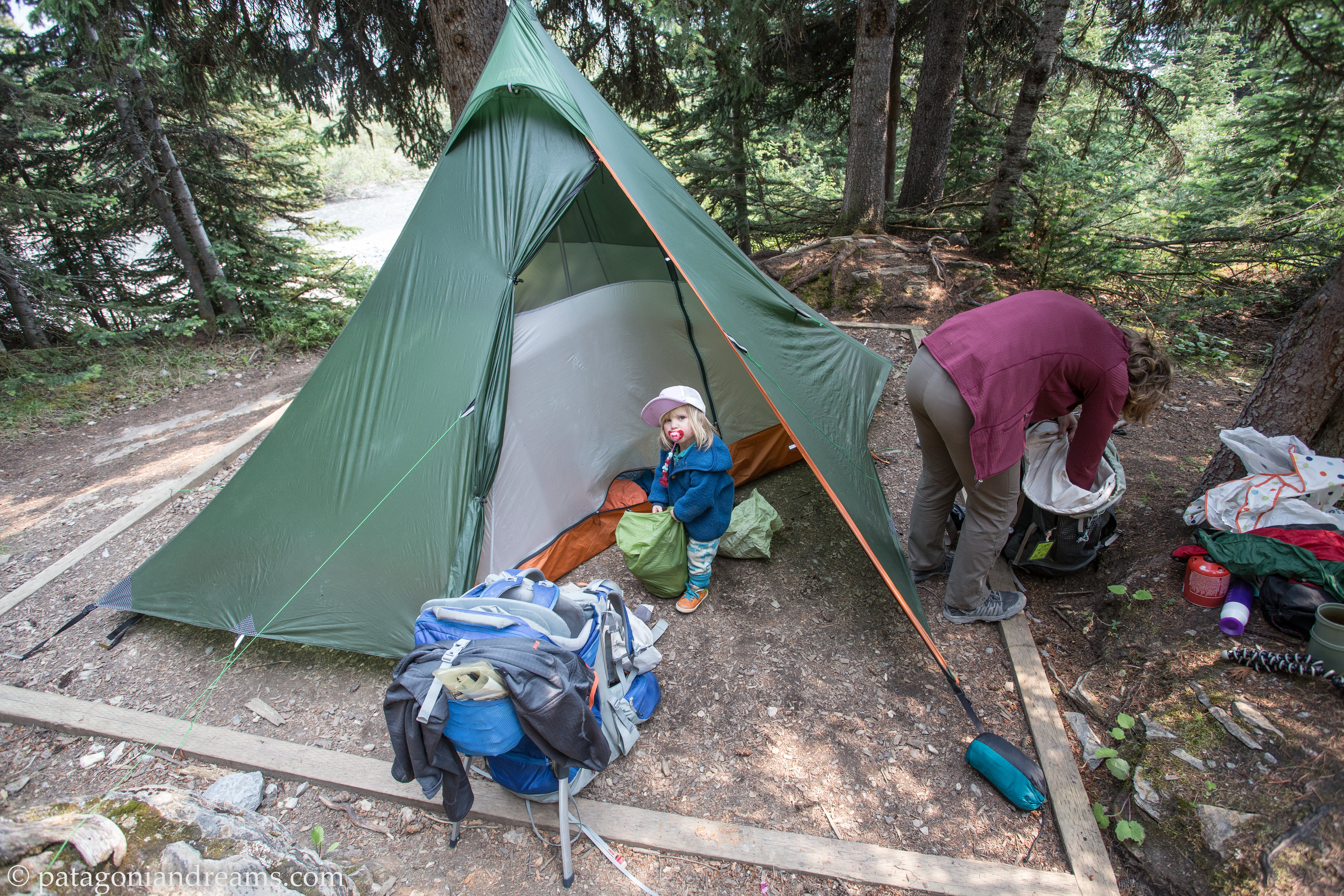
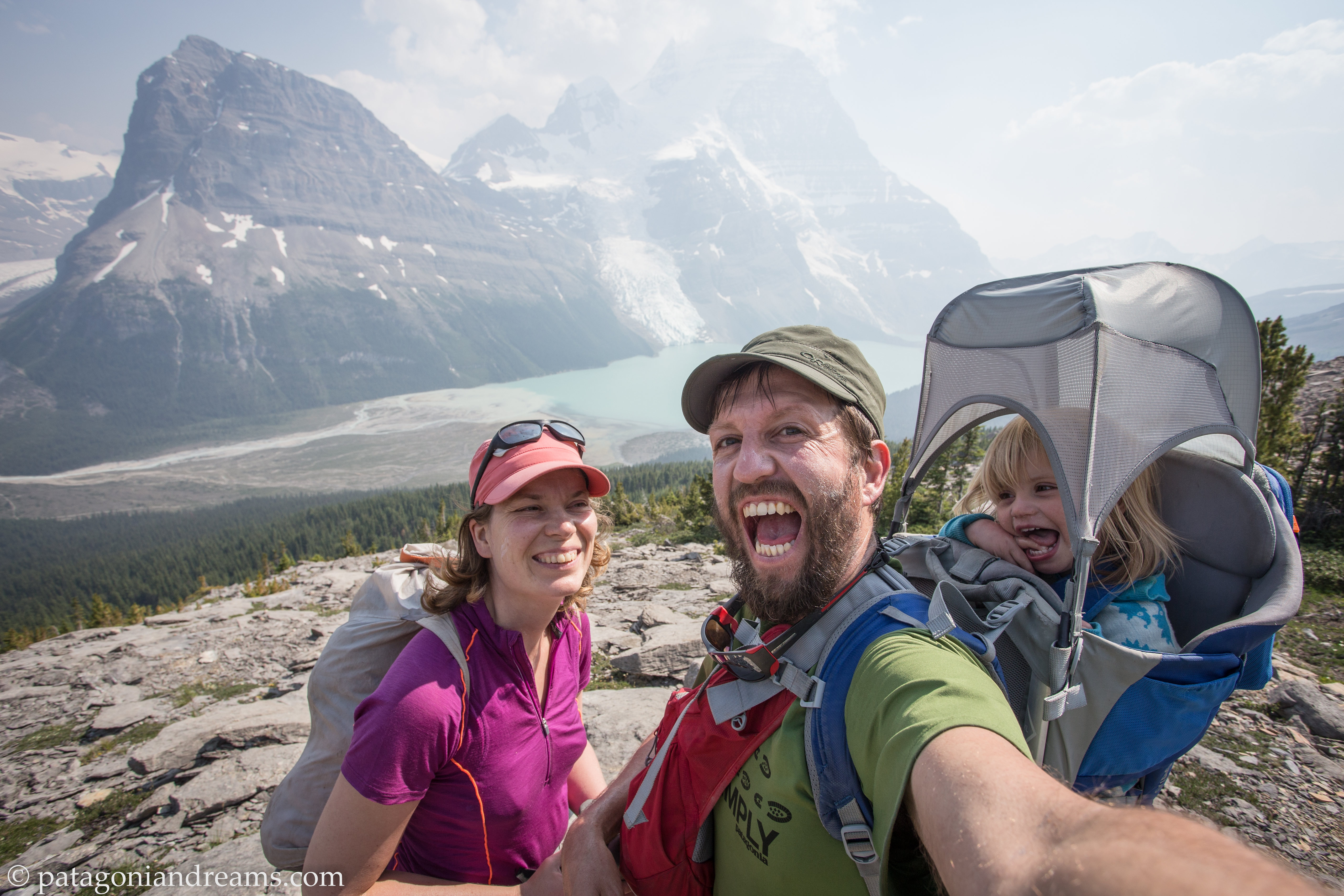
After some acclimatisation hikes near Jasper, we headed off on our first 5 day backpacking trek onto the Berglake Trail in Mount Robson Provincial Park. We spilt up our 60km-hike over 5 days so we’d have lots of time to enjoy the scenery and to go on day hikes from the different base camps. There are seven campgrounds along the trail, each with several tent pads. Each campground comes equipped with bear-proof food storage lockers, pit toilets and grey-water pits. You won’t find any showers or flush toilets, and there are no fires allowed. You’ll have to use a camp stove for cooking. Campground reservations for each season become available on October 1 of the prior year (for instance, on October 1, 2019 reservations opened up for the 2020 hiking season).To book your reservation on the Berg Lake Trail, click here.

The Berg Lake Trail is a world-renowned backcountry hiking trail. Gaining just under 800 metres in 23 kilometres, the trail traverses three biogeoclimatic zones in the Mount Robson Provincial Park, British Columbia, Canada.

The Berg Lake Trail is a world-renowned backcountry hiking trail. Gaining just under 800 metres in 23 kilometres, the trail traverses three biogeoclimatic zones in the Mount Robson Provincial Park, British Columbia, Canada.

The Berg Lake Trail winds through old-growth cedar/hemlock forest as it follows the Robson River to Kinney Lake.

The Berg Lake Trail winds through old-growth cedar/hemlock forest as it follows the Robson River to Kinney Lake. Mount Robson Provincial Park, British Columbia, Canada.

Crossing the suspension bridge near the Whitehorn campground in the Valley of a thousand falls.

Crossing the suspension bridge near the Whitehorn campground in the Valley of a thousand falls. Mount Robson Provincial Park, British Columbia, Canada.

Our first night at Whitehorn campground in the Valley of a thousand falls.

Our first night at Whitehorn campground in the Valley of a thousand falls. Mount Robson Provincial Park, British Columbia, Canada.

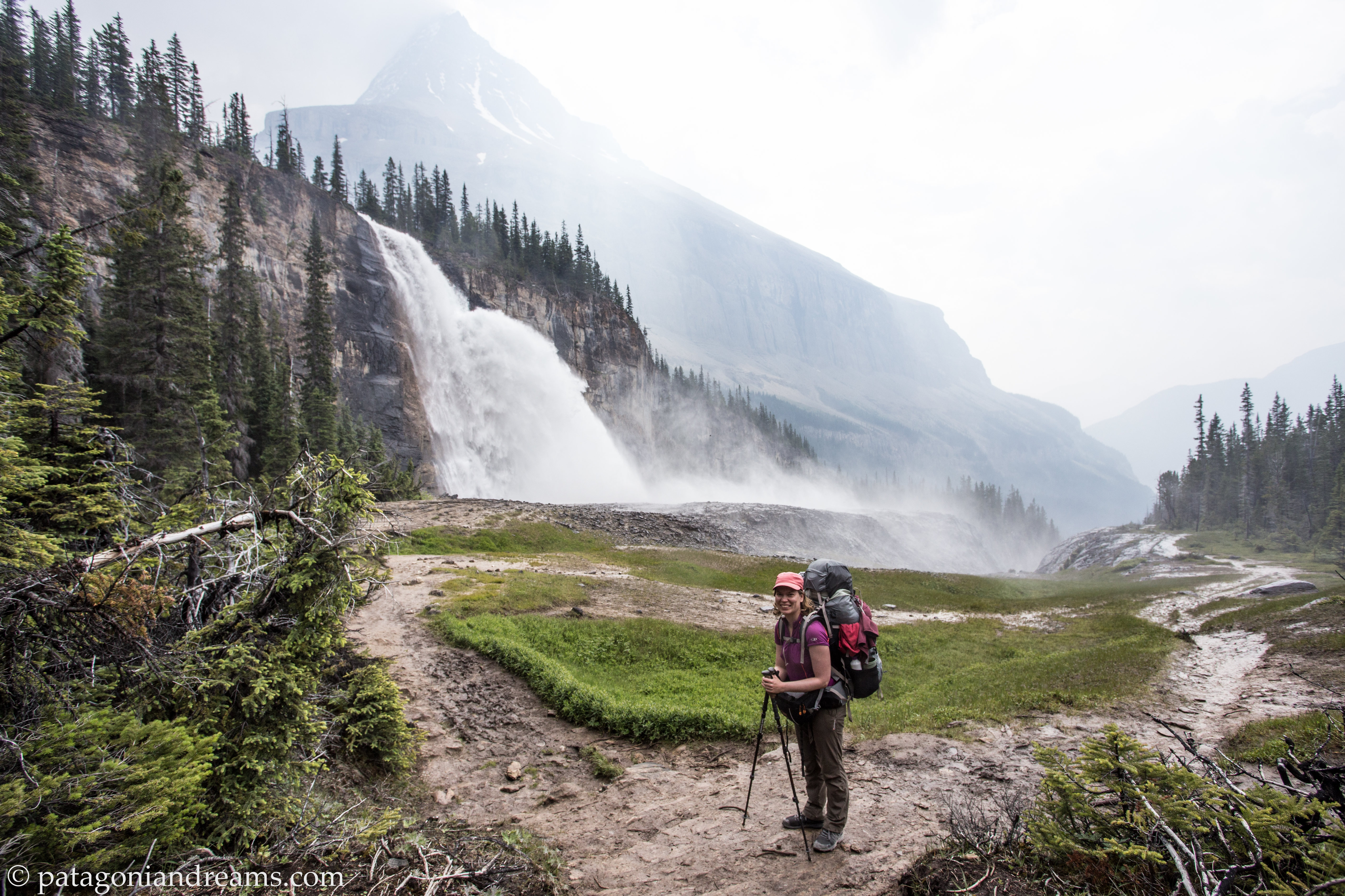
Emperor Falls

Emperor Falls. Mount Robson Provincial Park, British Columbia, Canada.

Higher up along Robson River.

Higher up along Robson River. Mount Robson Provincial Park, British Columbia, Canada.

We arrived safely at Berg Lake, over!

We arrived safely at Berg Lake, over! Mount Robson Provincial Park, British Columbia, Canada.

We arrived safely at Berg Lake, let's camp!

We arrived safely at Berg Lake, let’s camp! Mount Robson Provincial Park, British Columbia, Canada.

Robson Glacier, spilling off from the northeast flank of Mount Robson!

Robson Glacier, spilling off from the northeast flank of Mount Robson! Mount Robson Provincial Park, British Columbia, Canada.

Viewpoint above Toboggan Falls, high above Berg Lake and Mount Robson!

Viewpoint above Toboggan Falls, high above Berg Lake and Mount Robson! Mount Robson Provincial Park, British Columbia, Canada.

Robson Pass camp!

Robson Pass camp Mount Robson Provincial Park, British Columbia, Canada.

Robson Pass camp!

Robson Pass camp Mount Robson Provincial Park, British Columbia, Canada.

Berg Lake reflections!

Berg Lake reflections! Mount Robson Provincial Park, British Columbia, Canada.

Near Marmot campsite. Berg Lake.

Near Marmot campsite. Berg Lake. Mount Robson Provincial Park, British Columbia, Canada.

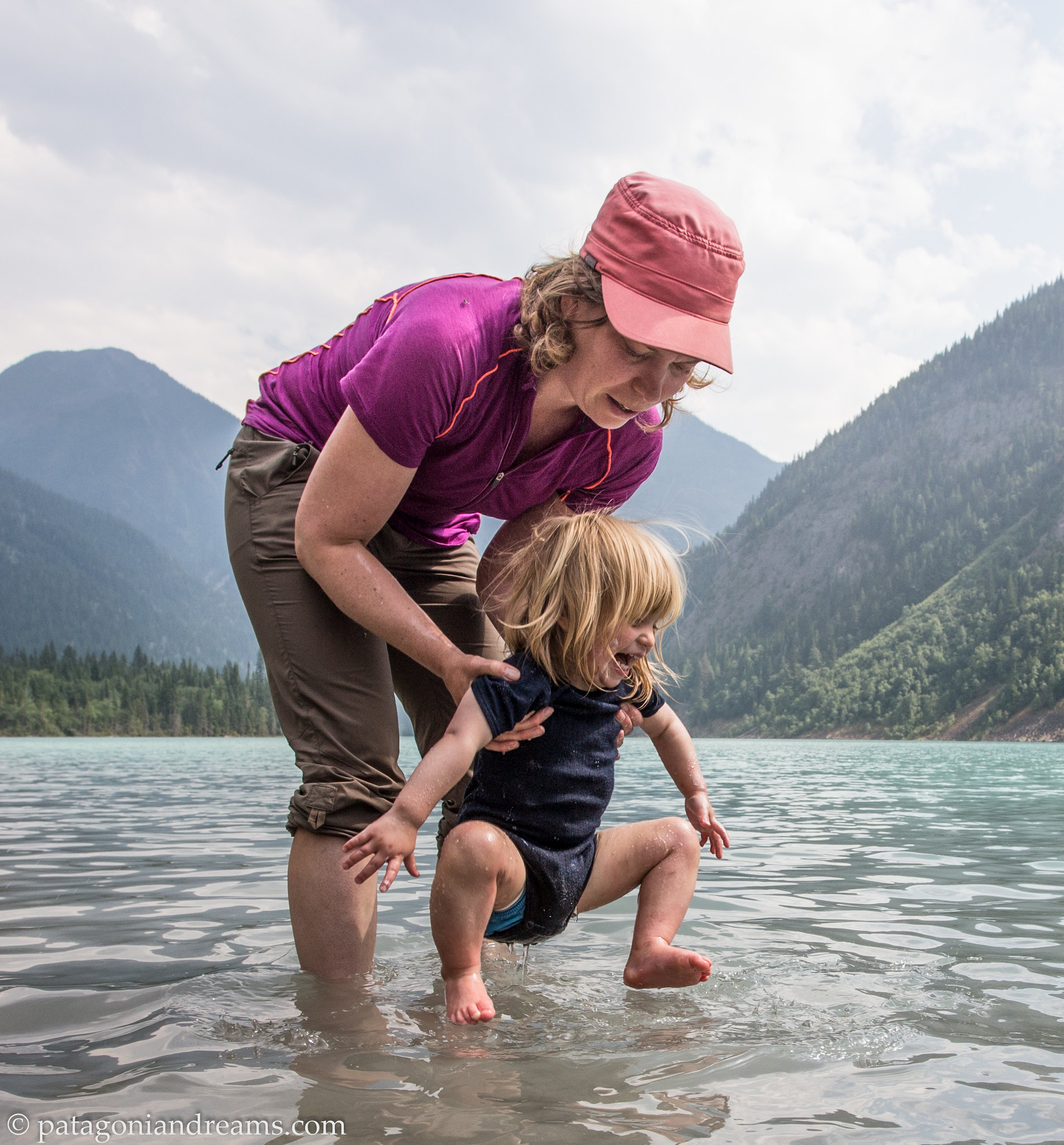
Playing in Kinney Lake.

Playing in Kinney Lake. Mount Robson Provincial Park, British Columbia, Canada.

Bed time.

Bed time. Mount Robson Provincial Park, British Columbia, Canada.

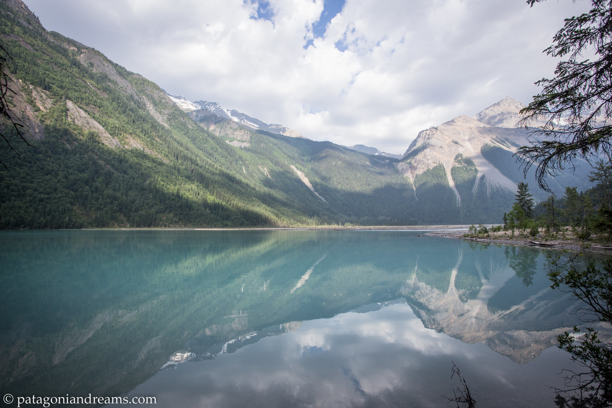
Kinney Lake in the morning light.

Kinney Lake in the morning light. Mount Robson Provincial Park, British Columbia, Canada.

There are many hiking and backpacking trips to pick from in the stunning Jasper National Park. The Tonquin Valley’s scenery is unrivalled. The trail takes you into one of Canada’s premiere alpine regions, a unique combination of barren peaks, ghostly ice and fertile lakes. The valley is popular for its stunning views of Amethyst Lake at the base of the Ramparts mountain range. It’s famous for its variety of wildlife, which includes grizzlies, black bears, and mountain caribou. It does also have a reputation for its muddiness and an abundance of mosquitoes, so be prepared for a bit of everything.

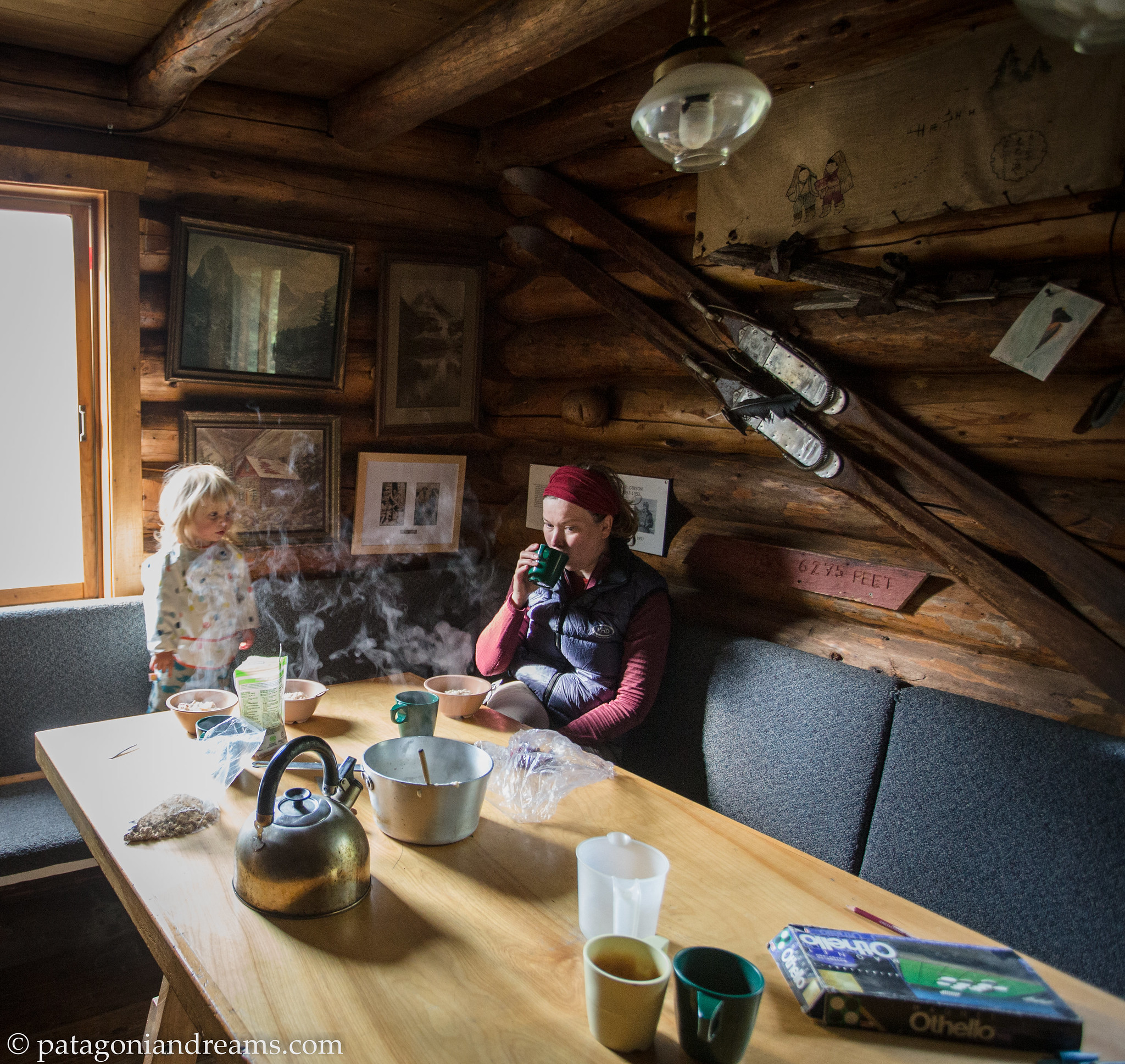
We hiked to the Wates-Gibson Hut and stayed over for 2 nights. Altough it was peak season in the mid of July we didn’t see any other tourist during our 3 days in the Tonquin Valley!

Well deserved rest at Chrome Lake, after hiking for hours through rain, snow and a thunder storm.

Well deserved rest at Chrome Lake, after hiking for hours through rain, snow and a thunder storm. Tonquin Valley trail, Jasper National Park

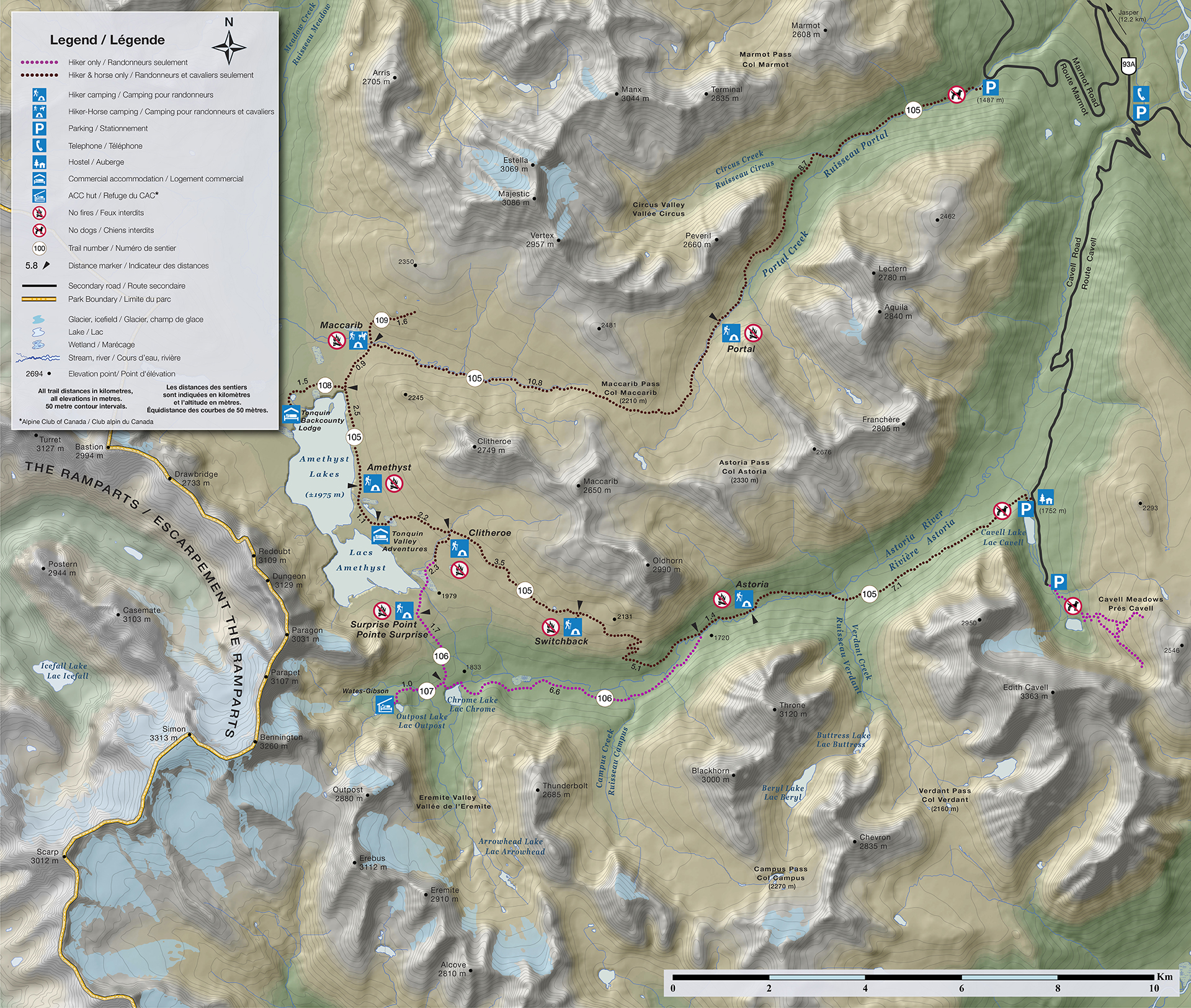
Tonquin Valley map, Jasper National Park

Tonquin Valley map, Jasper National Park, Alberta, Canada. Map from Alpine Club of Canada.

Crossing the plains of stunning Eremite valley.

Crossing the plains of stunning Eremite valley.. Tonquin Valley trail, Jasper National Park

Afternoon coffee!

Afternoon coffee at the Wates-Gibson Hut Hut! Tonquin Valley trail, Jasper National Park

Wates-Gibson Hut Hut!

The cosy and comfortable Wates-Gibson Hut Hut in the Eremite valley! Tonquin Valley trail, Jasper National Park

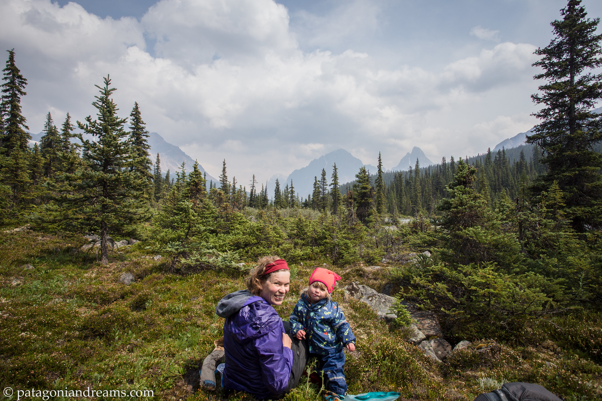
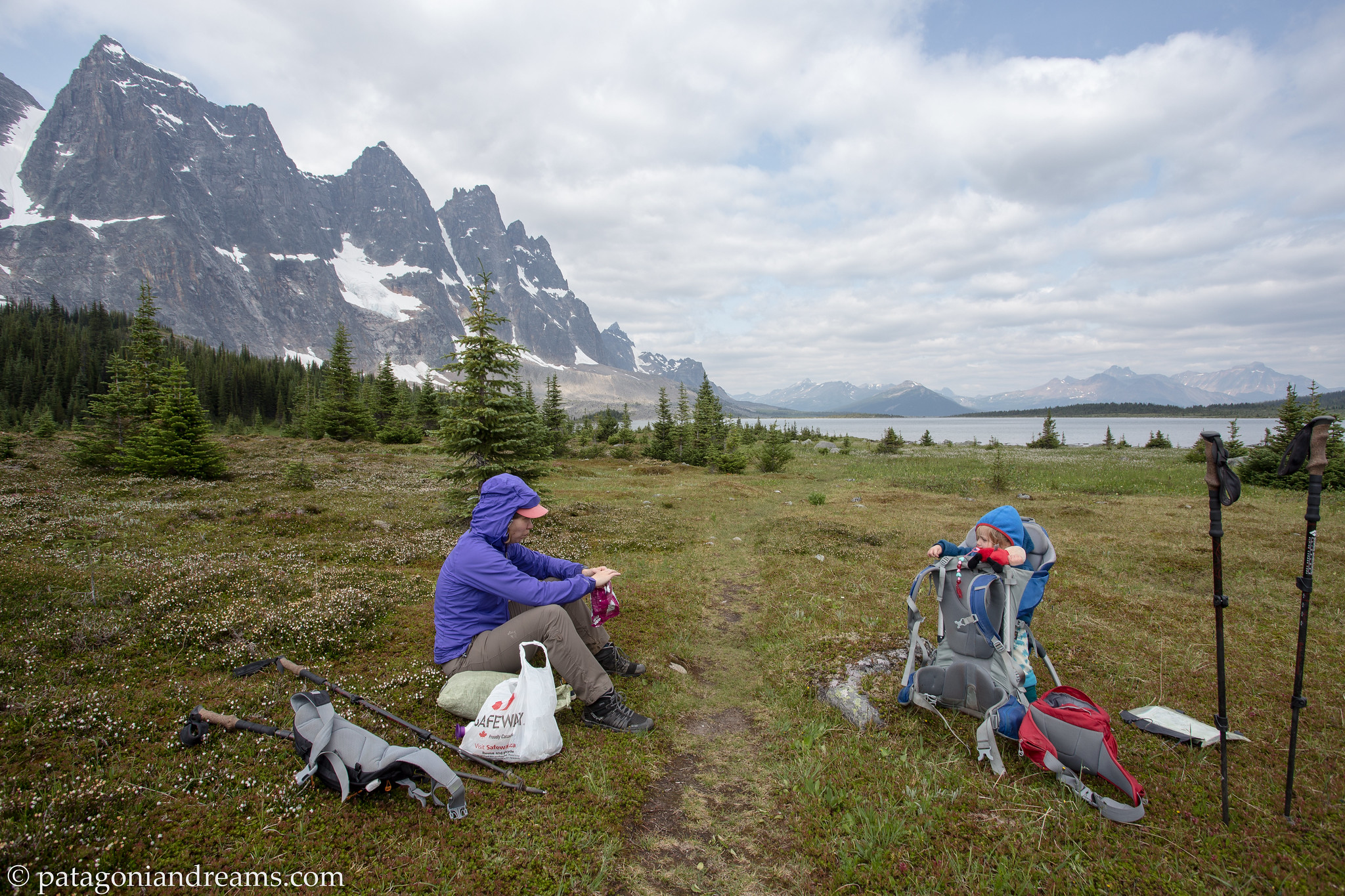
Lunch at Amethyst Lake!

Lunch at Amethyst Lake. Tonquin Valley trail, Jasper National Park

Eremite Valley. Jasper National Park.

Eremite Valley. Tonquin Valley trail, Jasper National Park

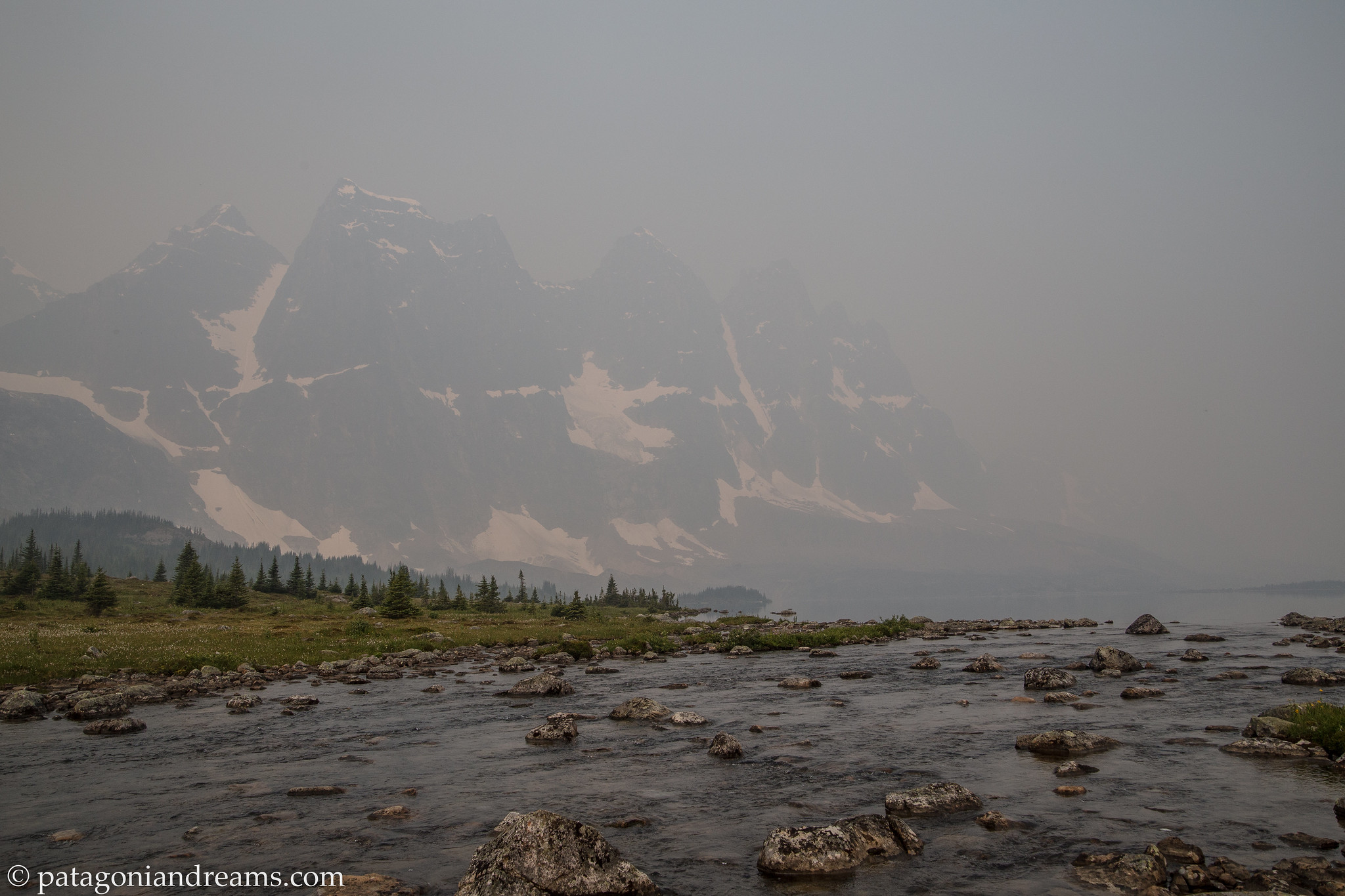
Wildfire haze spills over the Ramparts Range in the morning light.

Wildfire haze spills over the Ramparts Range in the morning light. Tonquin Valley trail, Jasper National Park

Wildfire haze spills over the Ramparts Range in the morning light.

Wildfire haze spills over the Ramparts Range in the morning light. So we continue our Tonquin Valley trail, Jasper National Park

Selfie!

The Ramparts Range, Jasper National Park


On the next update we will take you on our 5 day trek on the 80km loop over the Brazeau Plateau. The “grand tour” of the southern ranges, this circuit includes one of the park’s largest backcountry lakes, two passes and an extraordinary alpine traverse with glaciated peaks, lush wildflowers and a variety of wildlife.

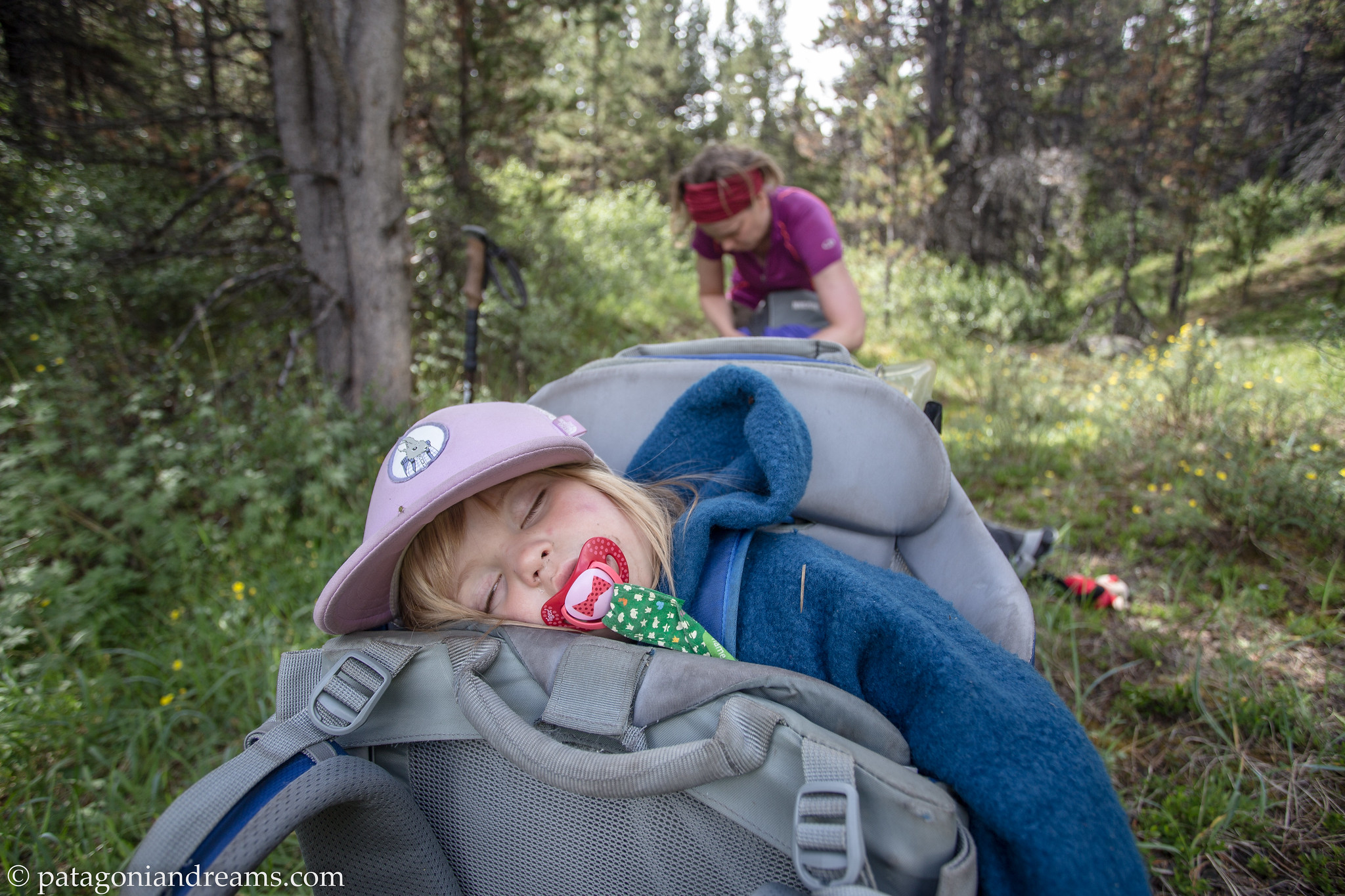
Nap timezzzzzz!

Nap timezzzzzz, Brazeau Plateau, Jasper National Park

How to pack a backpack with a 9 month old baby, a tipi tent, diapers and food for a trek in the wild of Swedish Lapland. (summer 2016)

Yesterday is gone. Tomorrow has not yet come. We have only today. Let us begin.” M. Theresa

Boooo! That’s long time, no see! But once in a while we throw a log onto the blog fire. We welcomed our son Bosse into the family in the summer of 2018. Whoop whoop!

Family adventure in Nuuksio National Park. Southern Finland. October 2018

Family adventure in Nuuksio National Park. Southern Finland. October 2018

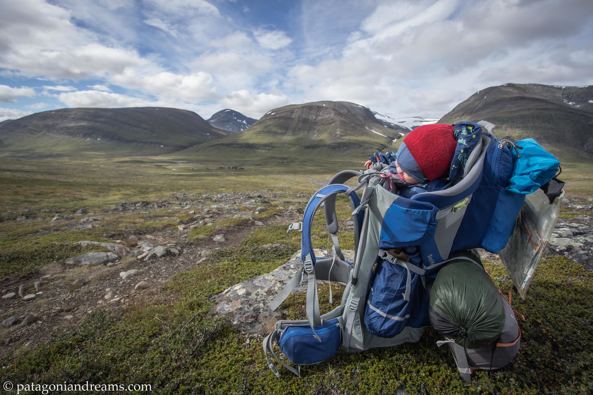
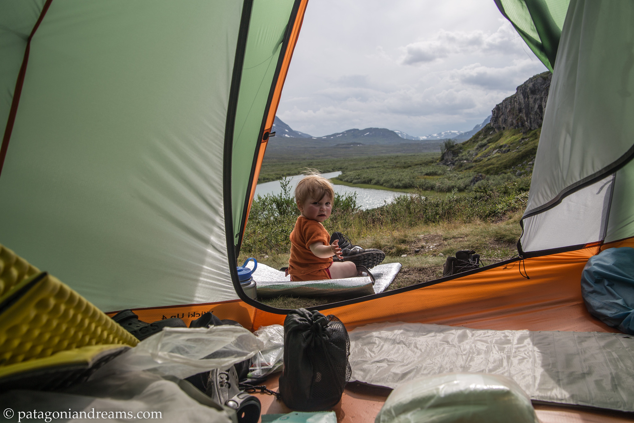
Today we flashback you into Lotta’s adventure she took in july/august of 2016. At 9 months old she was big and strong enough a baby to sit up straight in a Thule Sapling. We backpacked between Kvikkjokk and Abisko, in, around, up, above the Kungsleden for about 280kms, including all side trips and side explorations into Sarek NP. Most of the time we made a bivaouc in the sturdy, spacious and light Nigor WickiUp4 tipi, other nights we stayed over at the comfortable STF huts, where we could resupply and wash up. We had organised a poste restante with diapers and extra food at SALTOLUOKTA fjallstation.

As explained before, we layered the baby up during the night with as many merino wool layers as necessary and a merino wool sleeping bag, as we did in Patagonia.

We are happy with the merino wool products from Danish Joha and German Reiff.

The baby did not sleep on an inflated sleeping mattres, because of suffocation danger. Her sleeping mat was the Thermarest Z-lite Sol closed-cell mattress. We buttoned a hooded hat to keep her head and body warm during the night. Breast feeding kept her nourished and healthy.

We choosed to use washable diapers with a biodisposable inlay like the G diaper system. It worked very well because on a maximum of 3-4 days in between, we crossed into an STF hut with pit toilets in which we could dump the used inlays and wash the outer protection panties.

We leave you with a video impression and some snapshots:


A bivaouc spot in the woods near Abiskojaure.

A bivaouc spot in the woods near Abiskojaure. Abisko National Park. Swedish Lapland.

Another bivaouc spot in the Abisko National Park. Swedish Lapland.

Another bivaouc spot in the Abisko National Park. Swedish Lapland.

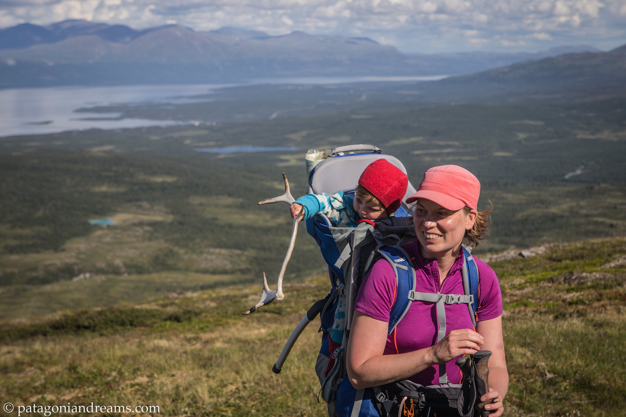
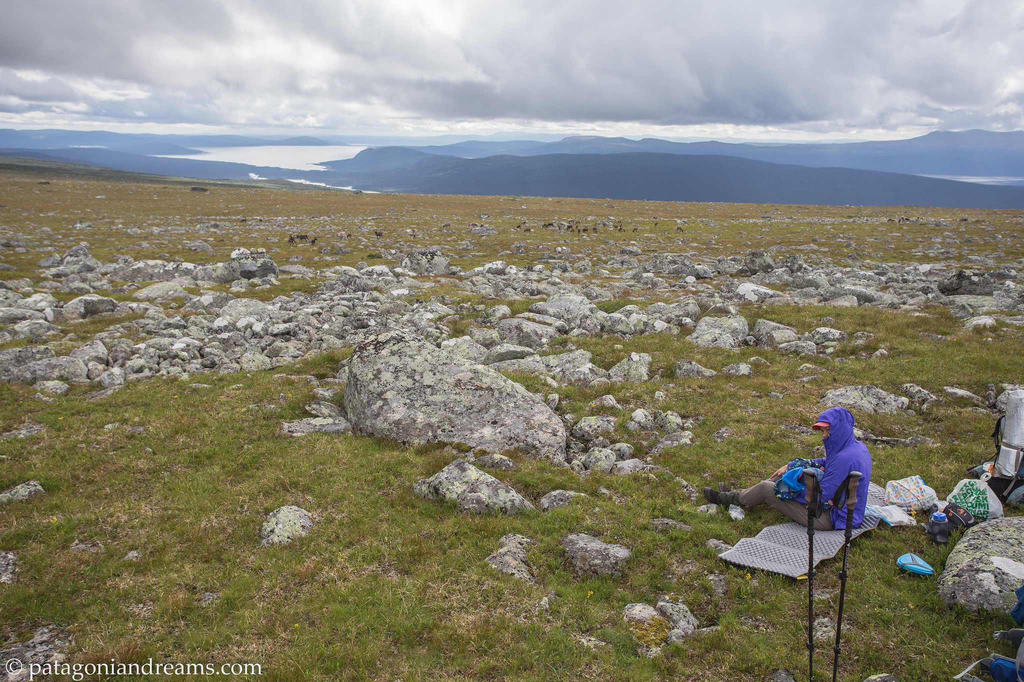
Investigating a reindeer antler on an exploration high above the Torneträsk lake. Abisko. Swedish Lapland.

Investigating a reindeer antler on an exploration high above the Torneträsk lake. Abisko. Swedish Lapland.

Minutes before the thunder storm came in. Kungsleden. Alesjaure. Swedish Lapland.

Minutes before the thunder storm came in. Kungsleden. Alesjaure. Swedish Lapland.

A hot day in the north. Kungsleden. Alesjaure. Swedish Lapland.

A hot day in the north. Kungsleden. Alesjaure. Swedish Lapland.

After a good night's sleep. Kungsleden. Alesjaure. Swedish Lapland.

After a good night’s sleep. Kungsleden. Alesjaure. Swedish Lapland.

Vistasvagge . Swedish Lapland.

Backpacking through the Vistasvagge. Kebnekaise. Swedish Lapland.

Enjoying baby supper, high above the Stuor Reaiddavaggi dalen. Swedish Lapland.

Enjoying baby supper, high above the Stuor Reaiddavaggi dalen. Swedish Lapland.

Enjoying baby supper, but from a higher view angle. Notice the Nigor WickiUp4 tipi high above the Stuor Reaiddavaggi dalen. Swedish Lapland.

Enjoying baby supper, but from a higher view angle. Notice our Nigor WickiUp4 tipi high above the Stuor Reaiddavaggi dalen? Swedish Lapland.

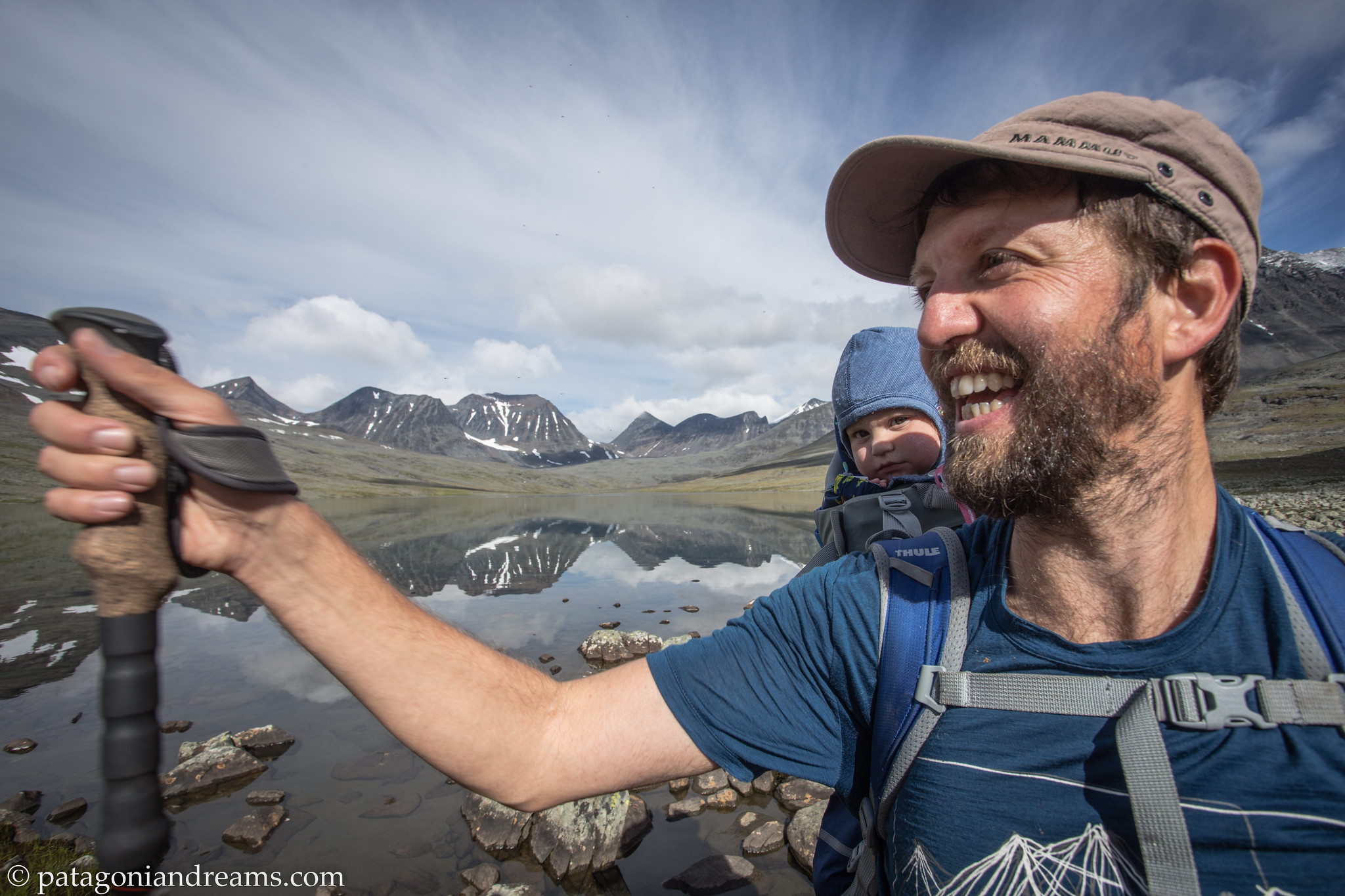
We just left the Nallostugan and Lotta is already on a nap. Kebnekaise. Swedish Lapland.

We just left the Nallostugan and Lotta is already on a nap. Kebnekaise. Swedish Lapland.

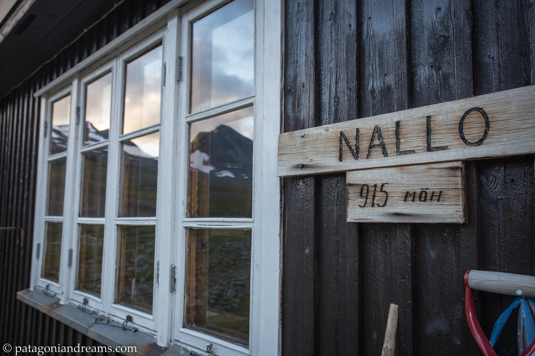
Dusk at Nallostugan. Kebnekaisefjell. Swedish Lapland.

Dusk at Nallostugan . Kebnekaisefjell. Swedish Lapland.

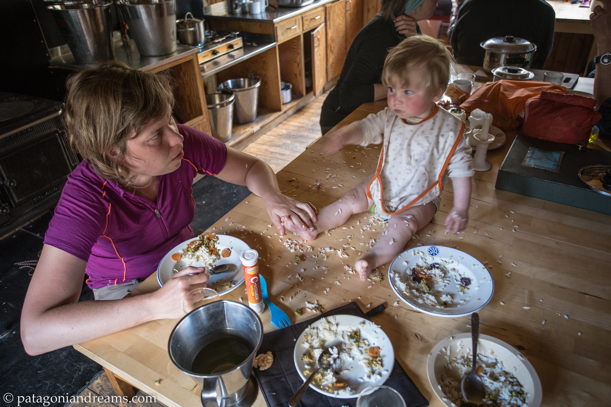
Food fight at Nallostugan. Kebnekaisefjell. Swedish Lapland.

Food fight at Nallostugan . Kebnekaisefjell. Swedish Lapland.


Windy at Singi! Kebnekaisefjell. Swedish Lapland.

Windy at Singi! Kebnekaisefjell. Swedish Lapland.

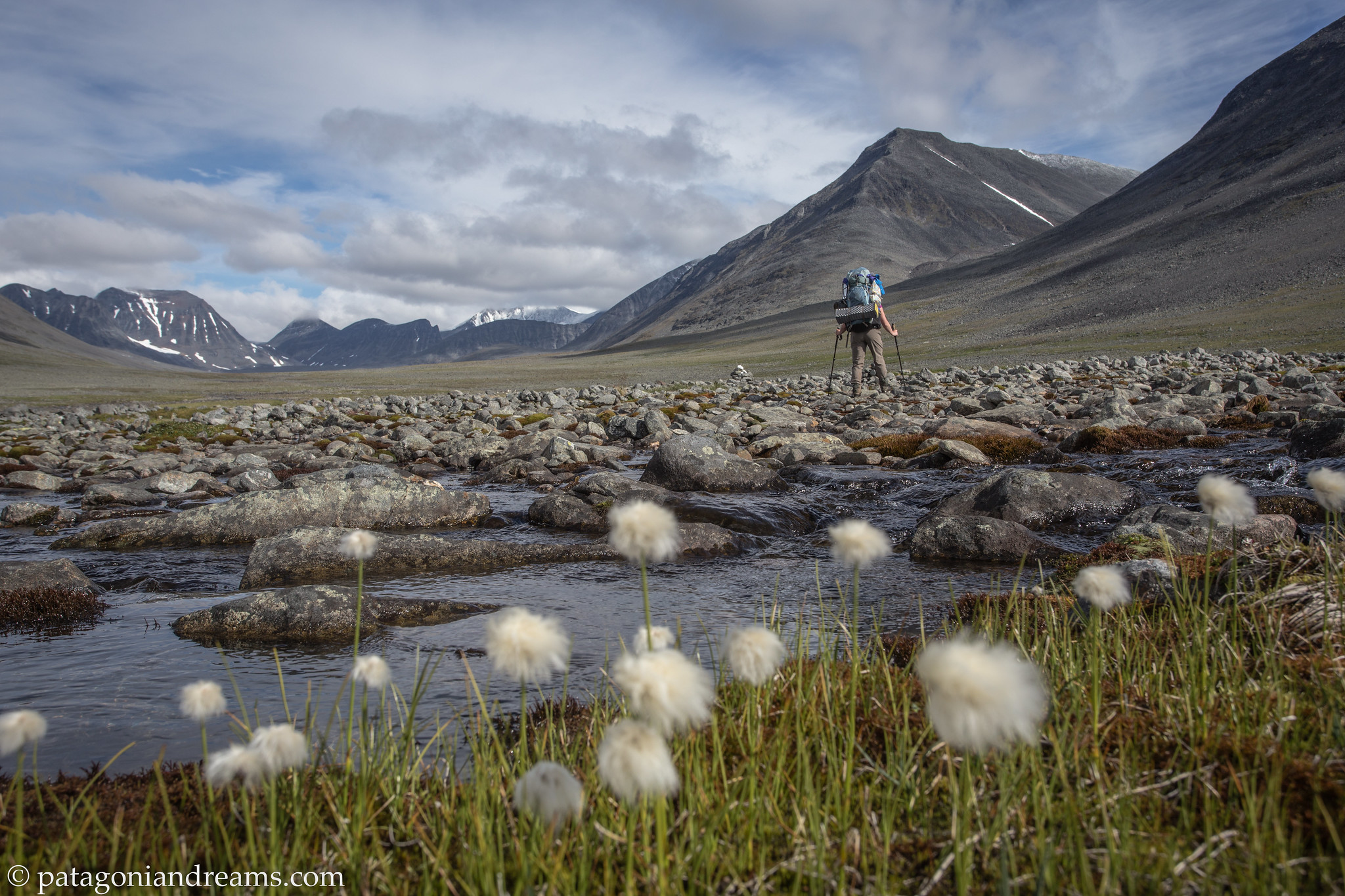
Somewhere on the Kungsleden south of Singi! Kebnekaisefjell. Swedish Lapland.

Somewhere on the Kungsleden south of Singi! Kebnekaisefjell. Swedish Lapland.

Crossing a high plateau! Stora Sjöfallet National Park. Swedish Lapland.

Crossing a high plateau. Stora Sjöfallet National Park. Swedish Lapland.

Oral hygiene. Check! Stora Sjöfallet National Park. Swedish Lapland.

Oral hygiene. Check! Stora Sjöfallet National Park. Swedish Lapland.

Da! Da! Daaaaaa! (transl. Gimme that camera now)! Stora Sjöfallet National Park. Swedish Lapland.

Da! Da! Daaaaaa! (transl. Gimme that camera now)! Stora Sjöfallet National Park. Swedish Lapland.

No words. Stora Sjöfallet National Park. Swedish Lapland.

No words. Stora Sjöfallet National Park. Swedish Lapland.

Watch the weather change. Dusk at Sitojaure. Swedish Lapland.

Watch the weather change. Dusk at Sitojaure. Swedish Lapland.

While you we're sleeping. Kungsleden through Laponia. Swedish Lapland.

While you we’re sleeping. Kungsleden through Laponia. Swedish Lapland.

 Breast feeding is the healthy baby snack. Kungsleden through Laponia. Swedish Lapland.

Breast feeding is the healthy baby snack. Laponia. Swedish Lapland.

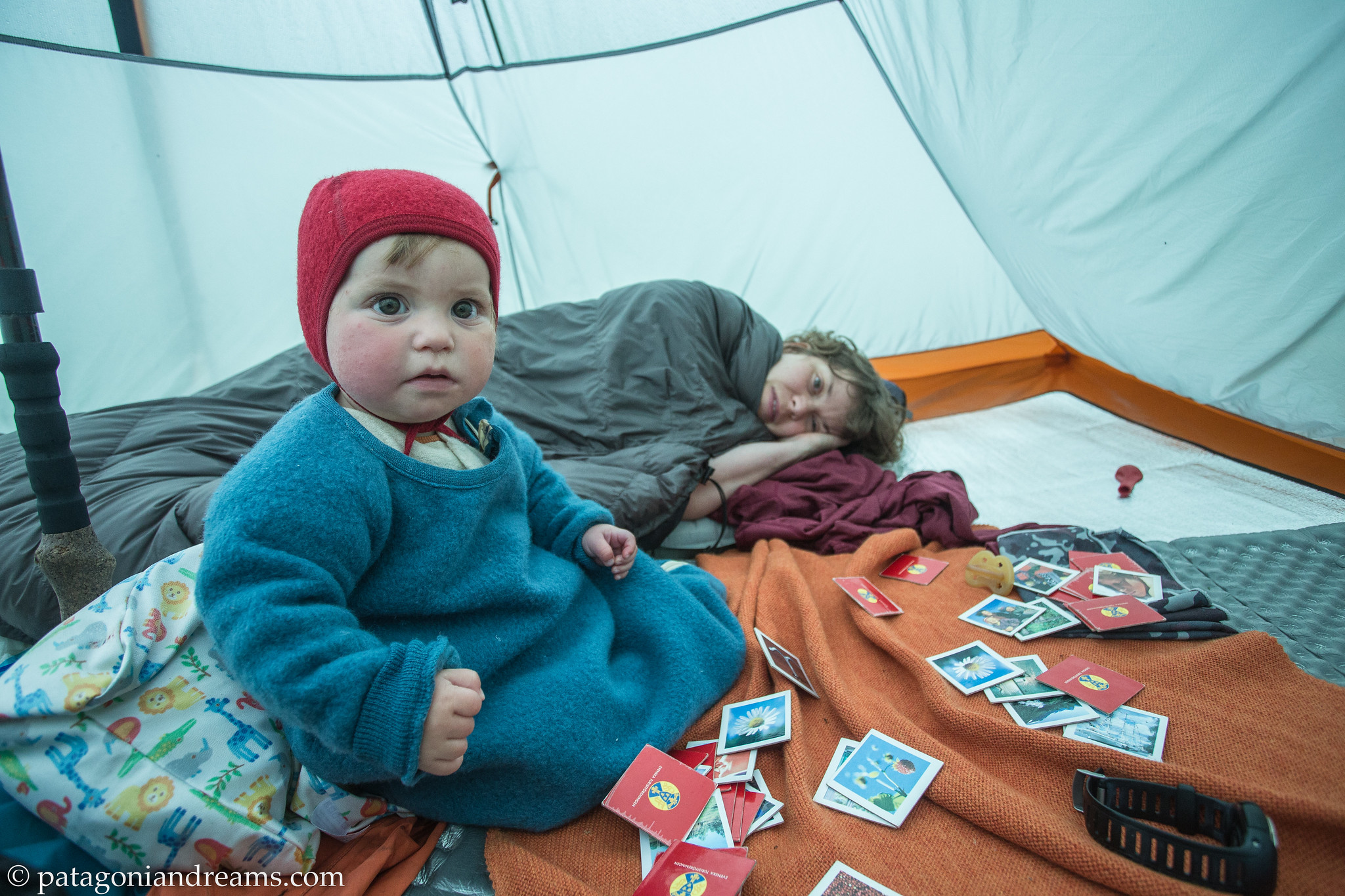
Early morningunder the canvas. Laponia. Swedish Lapland.

Early morningunder the canvas. Laponia. Swedish Lapland.

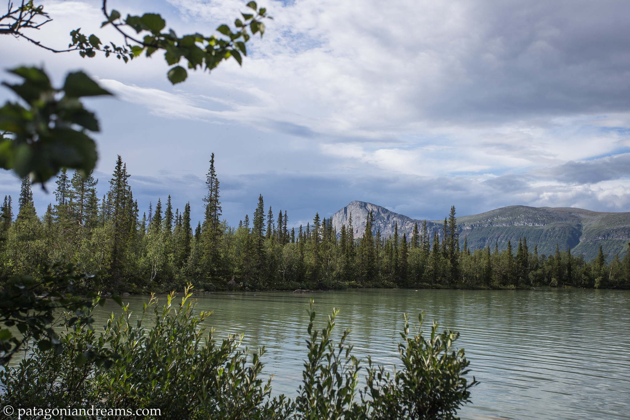
Laitaure lake with Skierfe towering above. Sarek NP. Laponia. Swedish Lapland.

Laitaure lake with Skierfe towering above. Sarek NP. Laponia. Swedish Lapland.

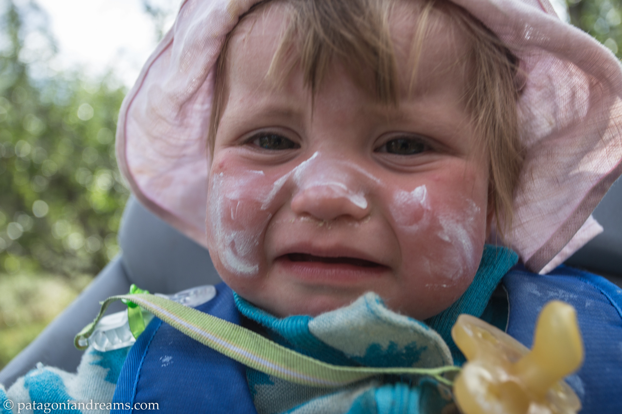
I hate sunscreen. Sarek NP. Laponia. Swedish Lapland.

I hate sunscreen. Sarek NP. Laponia. Swedish Lapland.

A girl and her balloon. Sarek NP. Laponia. Swedish Lapland.

A girl and her balloon. Sarek NP. Laponia. Swedish Lapland.

 In Rapavalley there is a mountain called Nammásj.  Sarek NP. Laponia. Swedish Lapland.

In Rapavalley there is a mountain called Nammásj. Sarek NP. Laponia. Swedish Lapland.

 It's not the beach, but hey, it's sunny and the view is nice! Sarek NP. Laponia. Swedish Lapland.

It’s not the beach, but hey, it’s sunny and the view is nice! Sarek NP. Laponia. Swedish Lapland.

 It's quite quiet, so let's shout! Sarek NP. Laponia. Swedish Lapland.

It’s quite quiet, so let’s shout! Sarek NP. Laponia. Swedish Lapland.

 Keekaboo! Sarek NP. Laponia. Swedish Lapland.

Keekaboo! Sarek NP. Laponia. Swedish Lapland.

 Rainy smiles! Sarek NP. Laponia. Swedish Lapland.

Rainy smiles! Sarek NP. Laponia. Swedish Lapland.

 This is what they call a washed out trail! Sarek NP. Laponia. Swedish Lapland.

This is what they call a washed out trail! Sarek NP. Laponia. Swedish Lapland.

Patagonia – baby Lotta’s 7 week backpacking adventure (part 3)

Lotta has big sister duties coming up… so time to give this blog an update before new adventures swallow us up. Let’s finish the trip report from our 45-day baby backpacking trip in Patagonia March-April 2016.

Read part 1 here
Read part 2 here

Big sister duties coming up (summer 2018)... Plitvice Lakes National Park on a 10 day hiking trip, Croatia, april 2018

Big sister duties coming up (summer 2018)… Plitvice Lakes National Park on a 10 day hiking trip, Croatia, april 2018

On the previous update we left you somewhere on the Ruta 40 in Southern Argentina. We just finished an overnight trek in the remote eastern corners of the Patagonia Park. Not a soul on sight, but hopefully this will change very soon. So please put the park on your bucket list!

During the 45 days in Patagonia we did a total of 6 multiday treks and several dayhikes. The longest trek was a 5 night/6day trek in NP Nahuel Huapi, which you can read in part 1. Backpacking/trekking with a baby comes with some logistics, but nothing we could not tackle. Clue is keeping the baby warm, hydrated and nourished(breastfeeding), away from direct sunlight and safe. Lotta was hanging in a sling on the first 20 days of the trip, but she grew out of it, so we changed into a baby carrier for the remainder of the treks. Don’t overdress the baby while hiking/backpacking because they absorb a lot of body heat from the moving mother/father.

During the night we layered her up with as many merino wool layers as necessary and a merino wool sleeping bag. The baby did not sleep on an inflated sleeping mattres, because of suffocation danger. Her sleeping mat was the Thermarest Z-lite Sol closed-cell mattress. We buttoned a hooded hat to keep her head and body warm during the night.

We packed in and out all (used) diapers, so it is really necesary to go for the backpacking light approach, because logistics would be almost impossible for a 6 day trek with the three of us. After this Patagonia trip we changed the classic diaper system to a biodisposable diapers system like the G diaper system, because the 30-day trek we did in the European summer of 2016 in Swedish Lapland would have been impossible. More details on that on the next blog update.

After a good night’s rest bivaouc spot in the canes besides Lago Chico. Patagonia Park. Aysén Region, Patagonia, Chile.

After a good night’s rest at a bivaouc spot in the canes besides Lago Chico. Patagonia Park. Aysén Region, Patagonia, Chile.

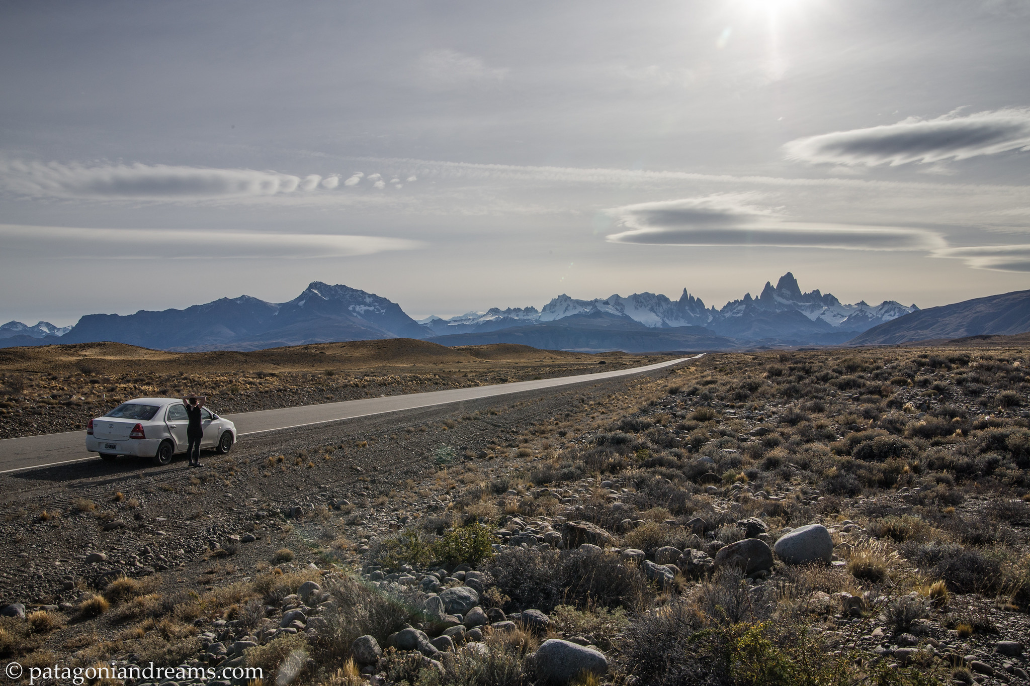
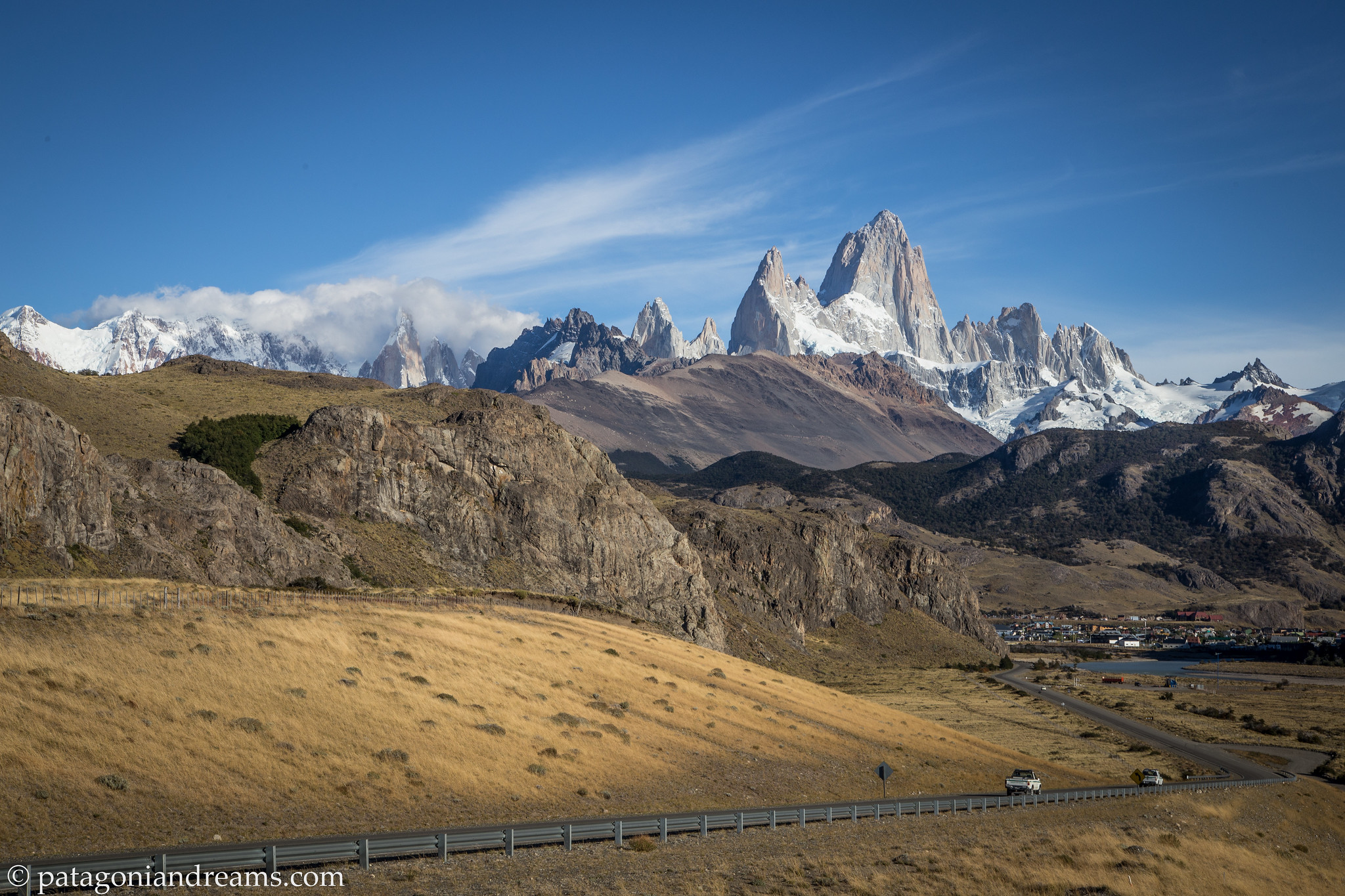
Approaching the Fitz Roy massif from the Ruta 40, Santa Cruz Province, Patagonia, Argentina.

Approaching the Fitz Roy massif from the Ruta 40, Santa Cruz Province, Patagonia, Argentina.

El Chaltén was named Argentina's Trekking Capital or Capital Nacional del Trekking. Today the sole reason for its existence is tourism. In 1985, Argentina and Chile had a border dispute to gain and claim rights over El Chalten. There was no conflict in the end, and El Chalten was earned and rewarded to Argentina. Homes, government buildings, and flags of Argentina went up to mark the city settlement. El Chalten, Santa Cruz Province, Patagonia, Argentina.
El Chaltén was named Argentina’s Trekking Capital or Capital Nacional del Trekking. Today the sole reason for its existence is tourism. In 1985, Argentina and Chile had a border dispute to gain and claim rights over El Chalten. There was no conflict in the end, and El Chalten was earned and rewarded to Argentina. Homes, government buildings, and flags of Argentina went up to mark the city settlement. El Chalten, Santa Cruz Province, Patagonia, Argentina.
Organizing food ratios for a 3 night trek in the northern part of Los Glaciares National Park, Patagonia, Argentina.

Organizing food ratios for a 4 day / 3 night trek in the northern part of Los Glaciares National Park, Patagonia, Argentina.

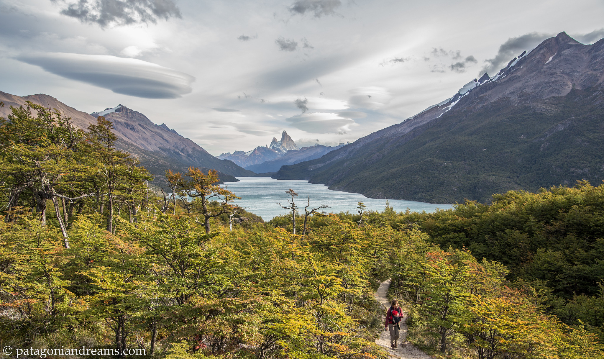
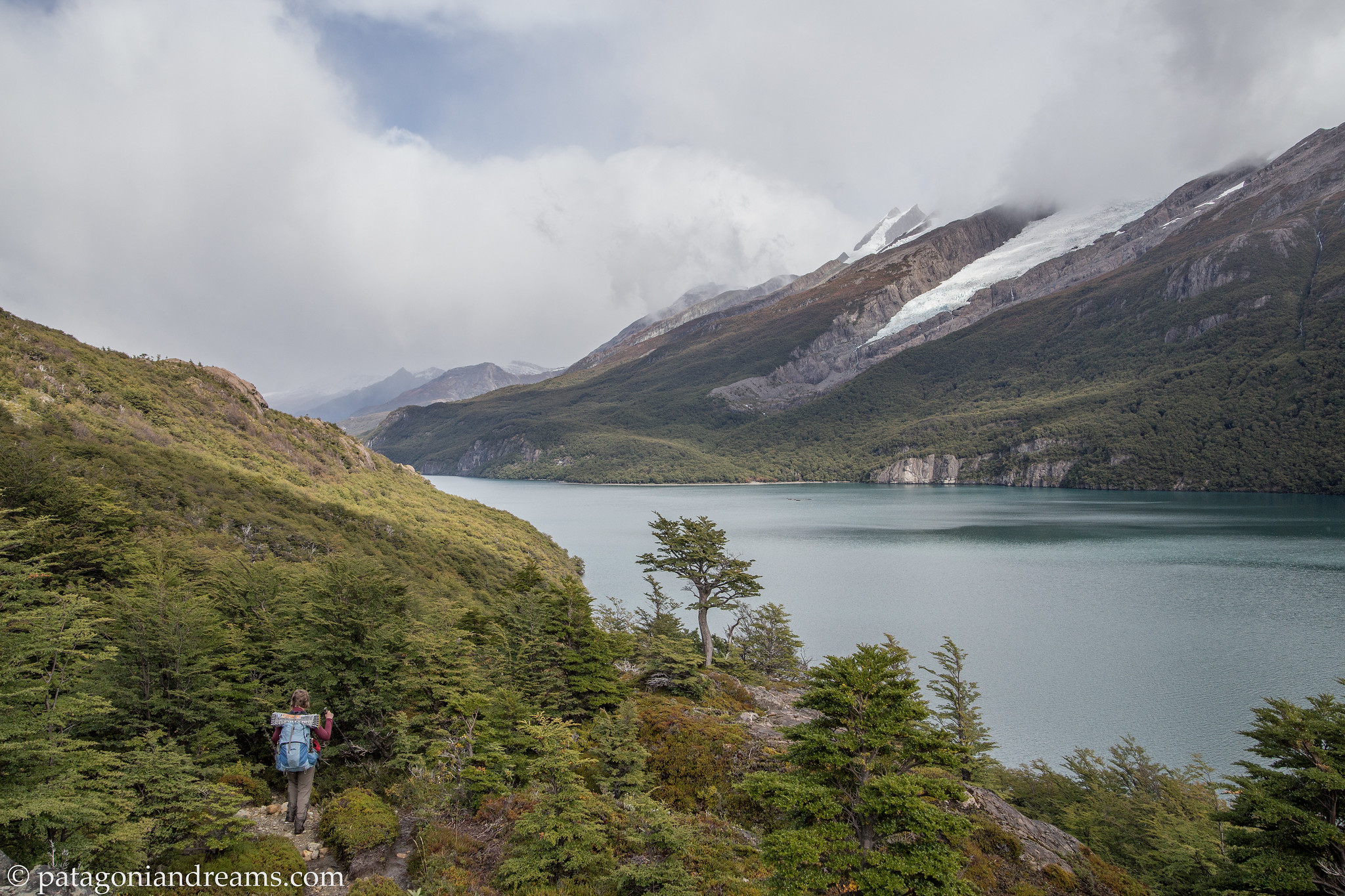
Towards the Chilean border on the first day on a 4 day / 3 night trek in the northern part of Los Glaciares National Park, Lago del Desierto, Patagonia, Argentina.

Towards the Chilean border on the first day on a 4 day / 3 night trek in the northern part of Los Glaciares National Park, Lago del Desierto, Patagonia, Argentina.

Lago del Desierto, Patagonia, Argentina.

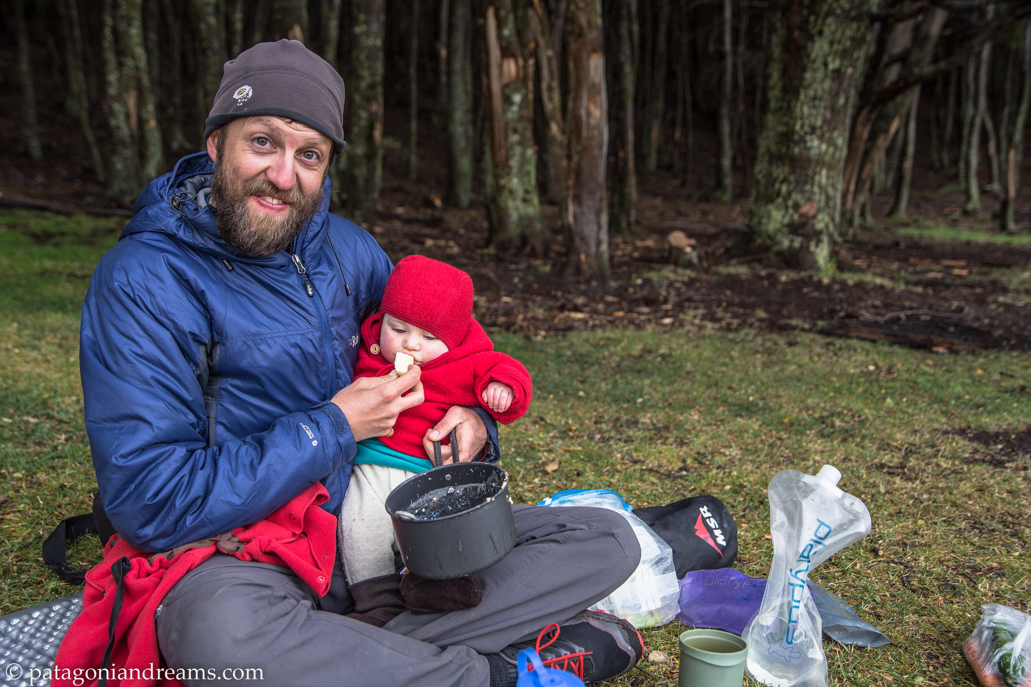
Outdoor daddy, bivaouc in the lenga forrest, Lago del Desierto, Patagonia, Argentina.

Lago del Desierto, Patagonia, Argentina.

Autumn breeze, second day of a 4 day trek around Lago del Desierto, Patagonia, Argentina.

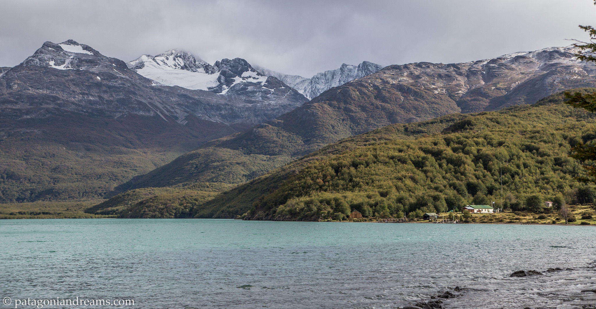
Detachment of the Gendarmería Nacional de Argentina, Lago del Desierto close to the Chilean border, Patagonia, Argentina.

Detachment of the Gendarmería Nacional de Argentina, Lago del Desierto close to the Chilean border, Patagonia, Argentina.

Undulating backpacking around Lago del Desierto close to the Chilean border, Patagonia, Argentina.

Undulating backpacking around Lago del Desierto close to the Chilean border, Patagonia, Argentina.

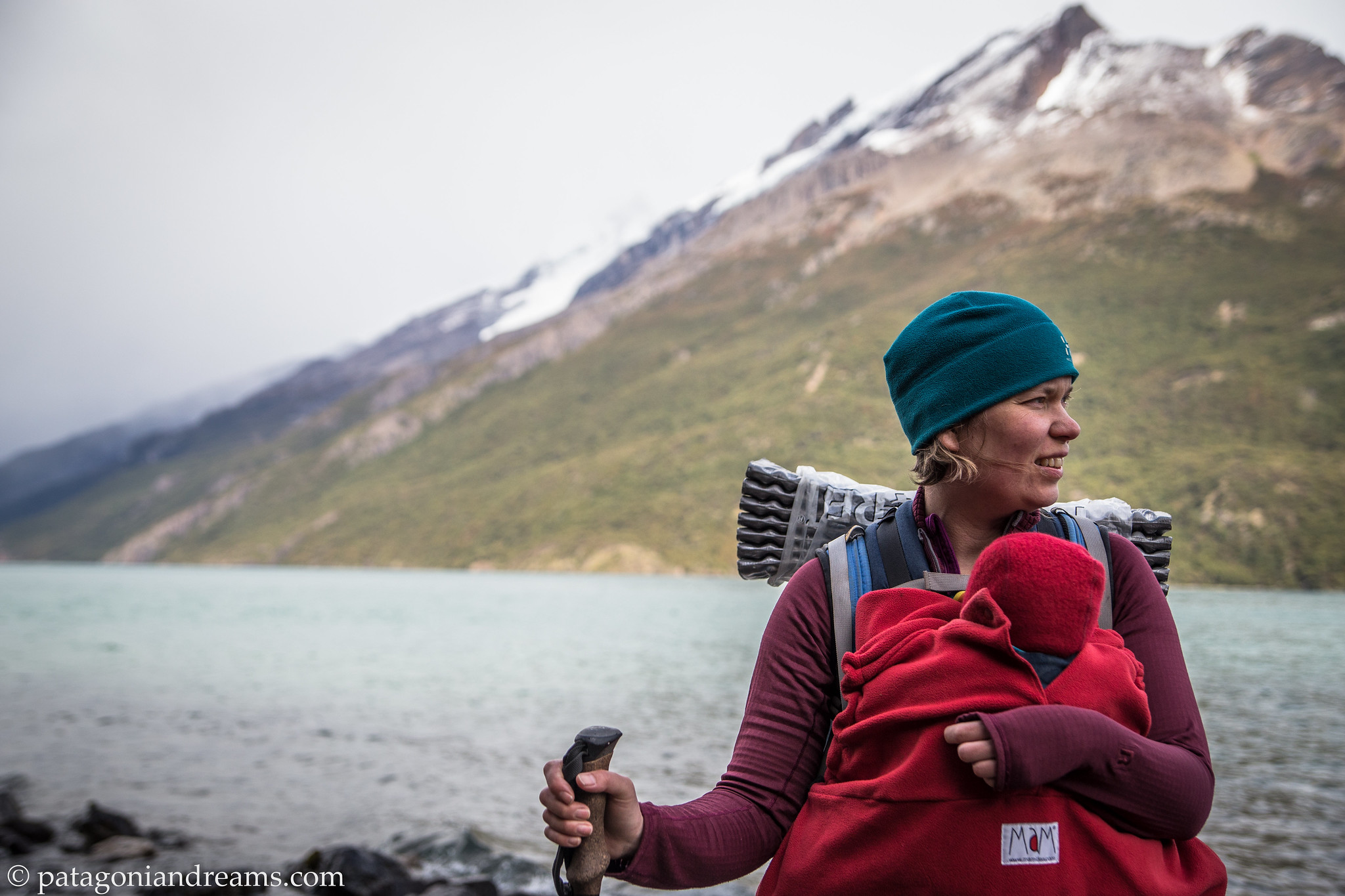
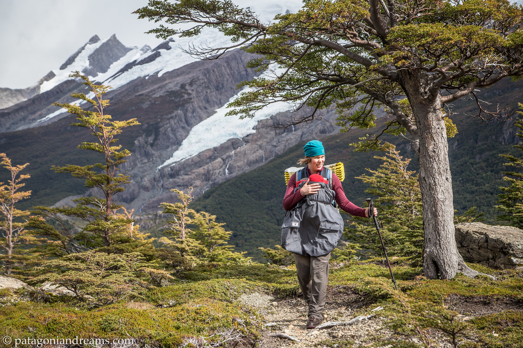
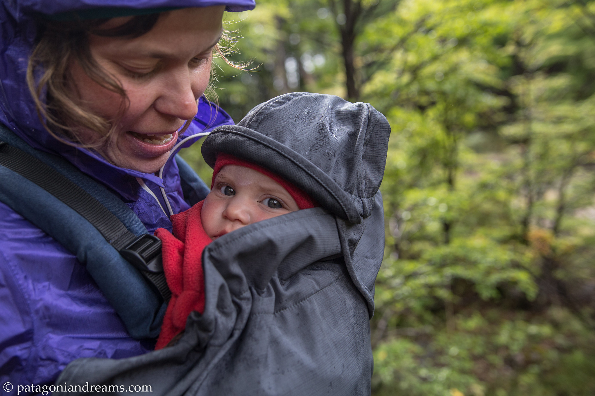
A rain cover protects baby Lotta around the baby Manduca carrier, Lago del Desierto close to the Chilean border, Patagonia, Argentina.

A rain cover protects baby Lotta around the baby Manduca carrier, Lago del Desierto close to the Chilean border, Patagonia, Argentina.

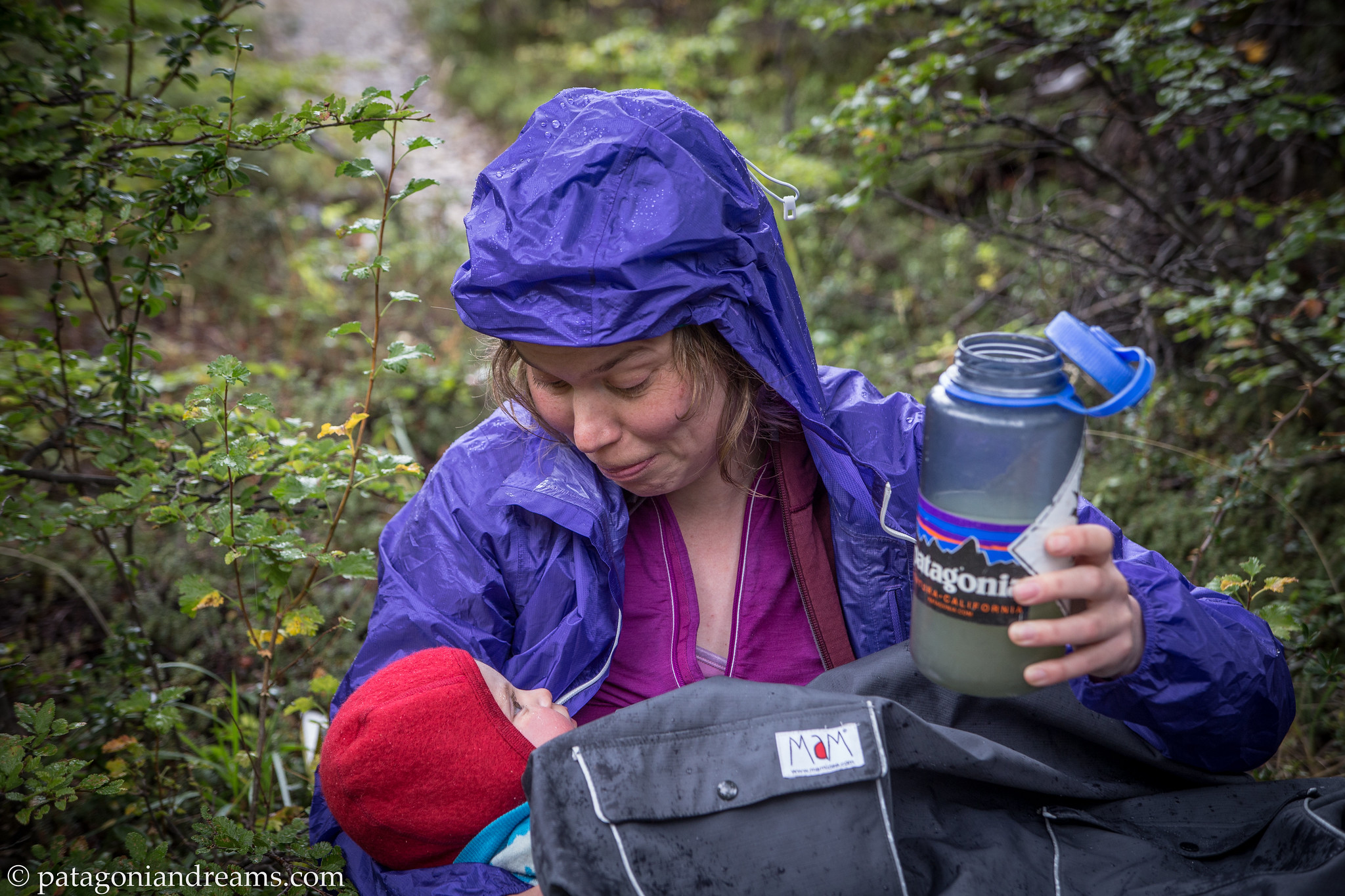
A rainy rest stop on the trail, day 2 out of 4, NP Los Glaciares, Lago del Desierto close to the Chilean border, Patagonia, Argentina.

A rainy rest stop on the trail, day 2 out of 4, NP Los Glaciares, Lago del Desierto close to the Chilean border, Patagonia, Argentina.

A rainy rest stop on the trail, day 2 out of 4, NP Los Glaciares, Lago del Desierto close to the Chilean border, Patagonia, Argentina.

A rainy rest stop on the trail, day 2 out of 4, NP Los Glaciares, Lago del Desierto close to the Chilean border, Patagonia, Argentina.

A tiny bridge over the Rio de las Vueltas, day 2 out of 4, NP Los Glaciares, Lago del Desierto close to the Chilean border, Patagonia, Argentina.

A tiny bridge over the Rio de las Vueltas, day 2 out of 4, NP Los Glaciares, Patagonia, Argentina.

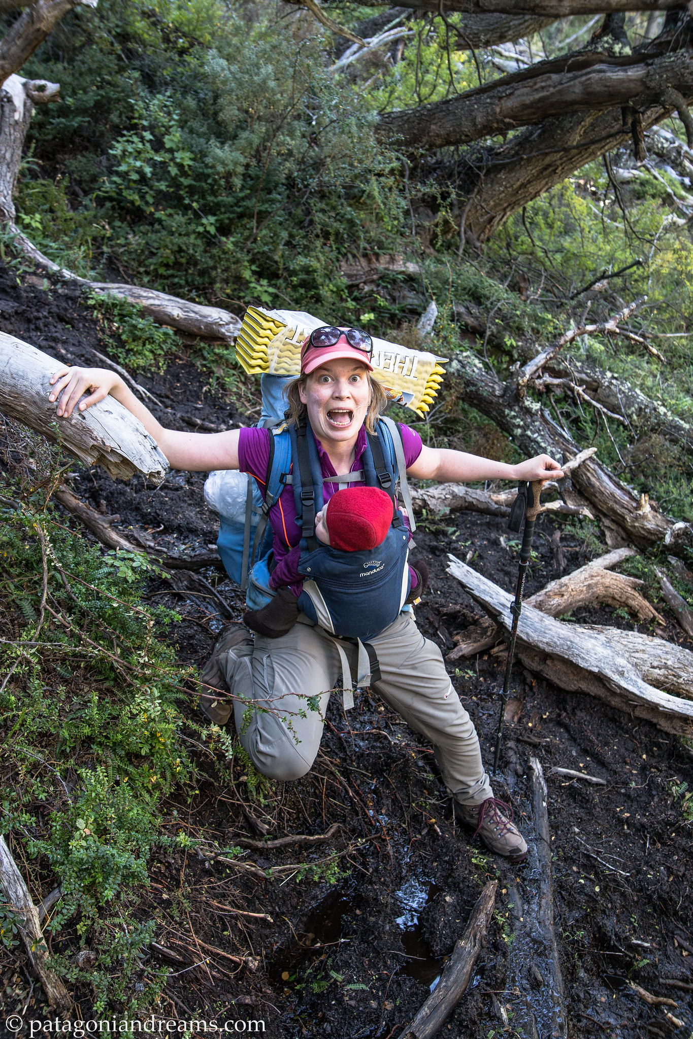
Negotiationg a muddy section on day 2 of the trek, NP Los Glaciares, Patagonia, Argentina.

Negotiationg a muddy section on day 2 of the trek, NP Los Glaciares, Patagonia, Argentina.

All peace and quiet in the Valle del río Eléctrico, day 2 of the trek, NP Los Glaciares, Patagonia, Argentina.

All peace and quiet in the Valle del río Eléctrico, day 3 of the trek, NP Los Glaciares, Patagonia, Argentina.

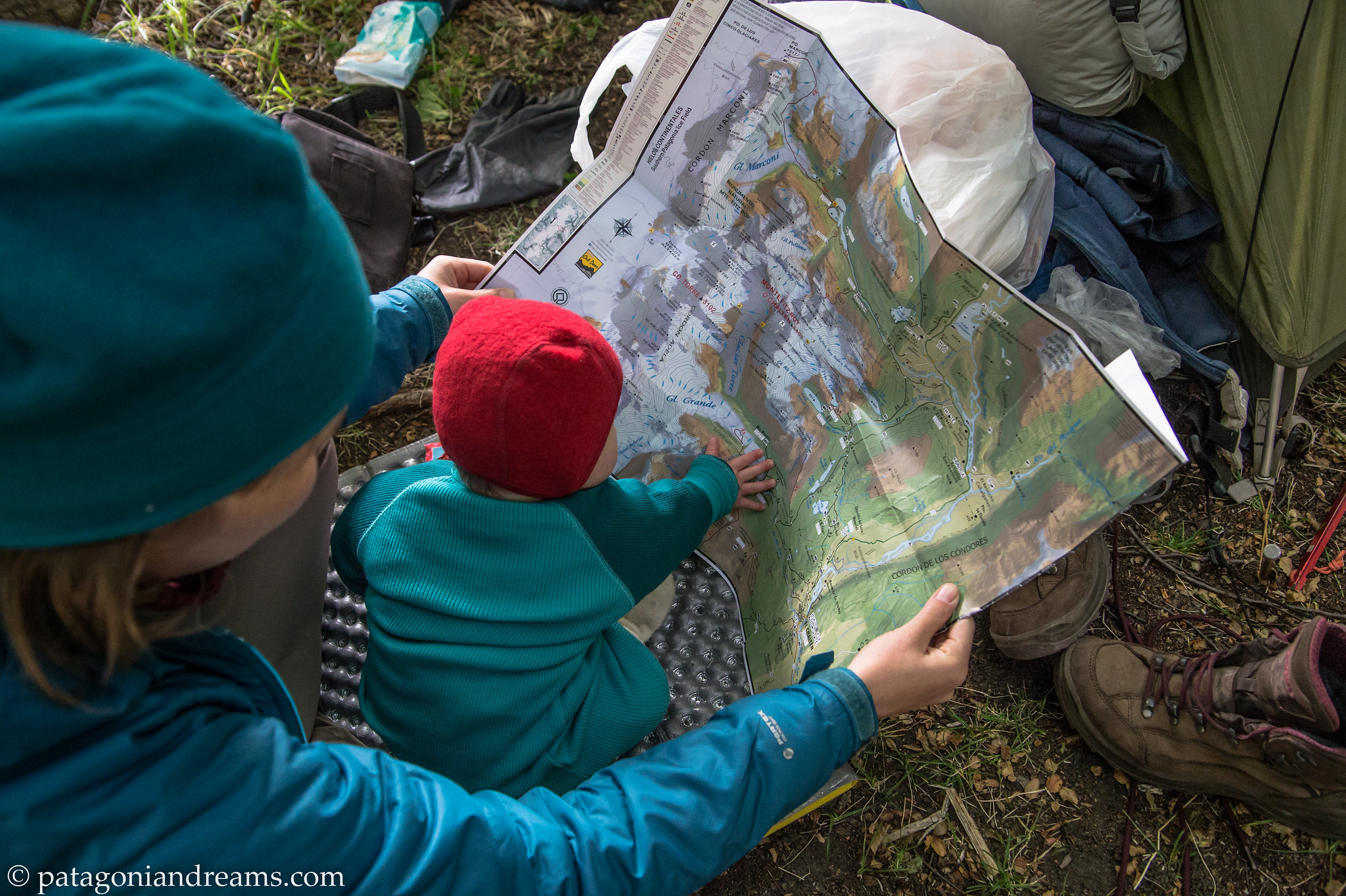
Route planning, day 3 of the trek, NP Los Glaciares, Patagonia, Argentina.

Route planning, day 3 of the trek, NP Los Glaciares, Patagonia, Argentina.

Good morning, this morning, day 3 of the trek, NP Los Glaciares, Patagonia, Argentina.

Good morning, this morning, day 3 of the trek, NP Los Glaciares, Patagonia, Argentina.

Classic viewport, day 3 of the trek, NP Los Glaciares, Patagonia, Argentina.

Classic viewport, day 3 of the trek, NP Los Glaciares, Patagonia, Argentina.

Where do we go from here?, day 3 of the trek, NP Los Glaciares, Patagonia, Argentina.

Where do we go from here?, day 3 of the trek, NP Los Glaciares, Patagonia, Argentina.

Laguna Capri by night, NP Los Glaciares, Patagonia, Argentina.
Laguna Capri by night, NP Los Glaciares, Patagonia, Argentina.
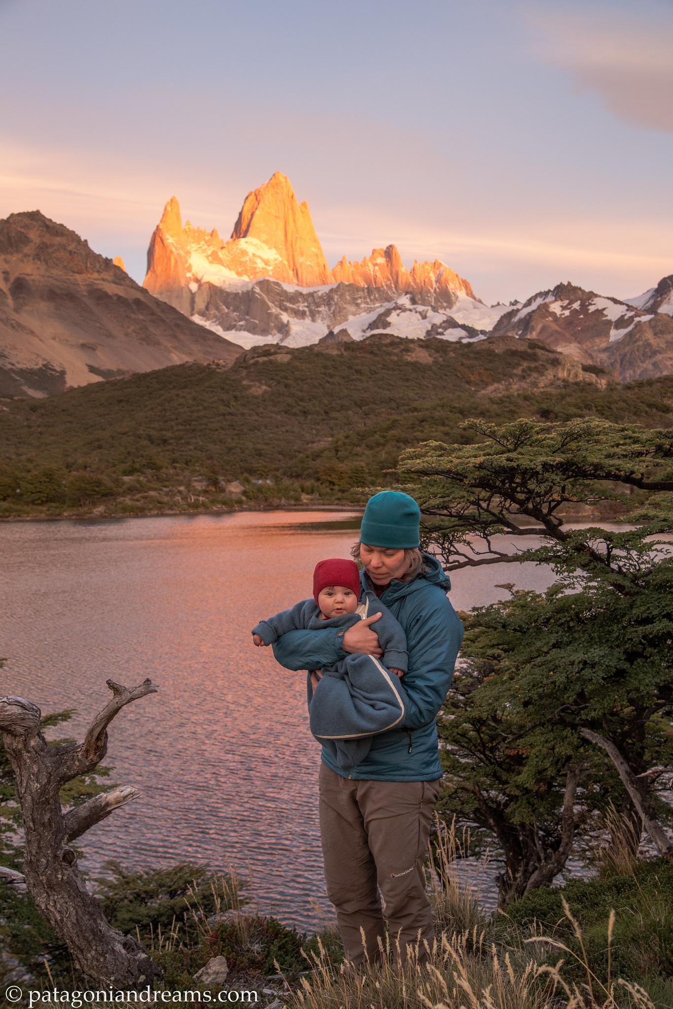
Fresh morning after a windy night at Laguna Capri, day 4, NP Los Glaciares, Patagonia, Argentina.

Fresh morning after a windy night at Laguna Capri, day 4, NP Los Glaciares, Patagonia, Argentina.

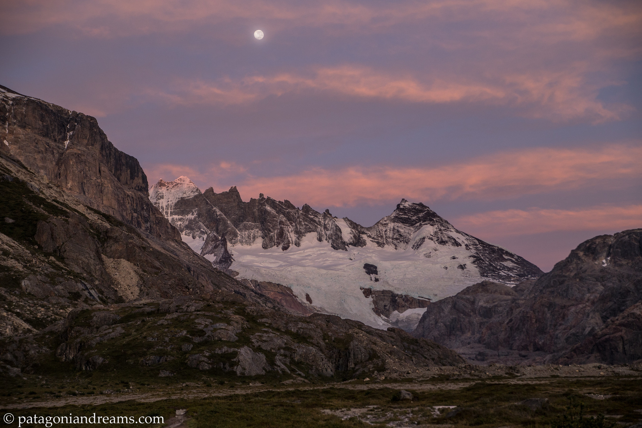
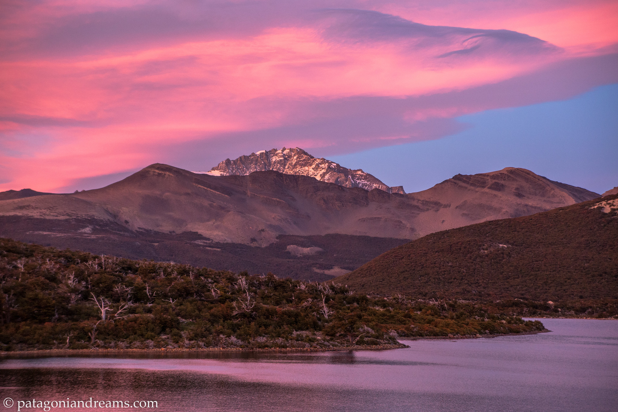
Alpenglow on Loma del Pliegue Tumbado and Cerro Huemul, as seen from Laguna Capri, day 4, NP Los Glaciares, Patagonia, Argentina.

Alpenglow on Loma del Pliegue Tumbado and Cerro Huemul, as seen from Laguna Capri, day 4, NP Los Glaciares, Patagonia, Argentina.

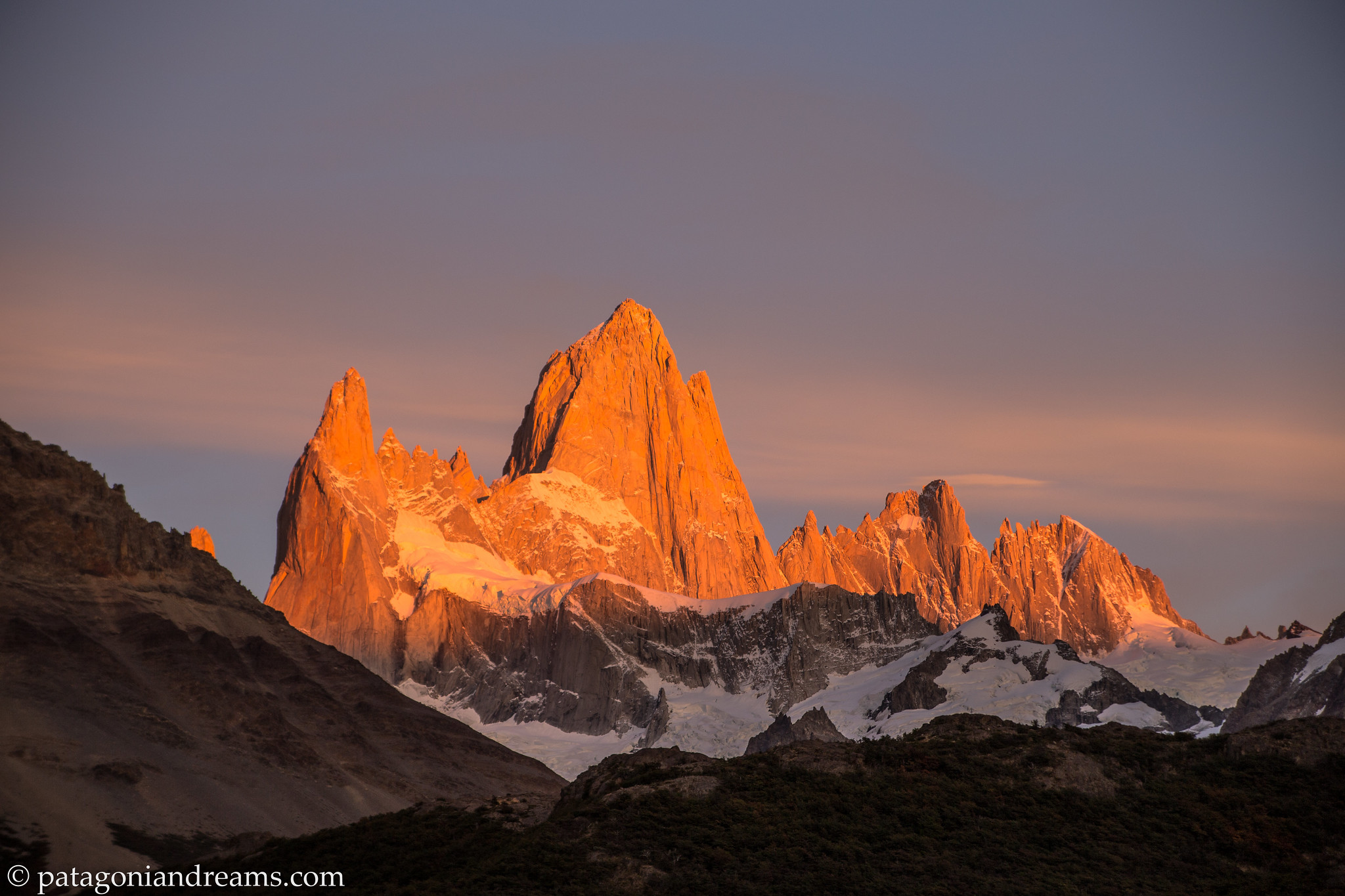
Morning alpenglow on Cerro Fitz Roy never dissapoints, as seen from Laguna Capri, day 4, NP Los Glaciares, Patagonia, Argentina.

Morning alpenglow on Cerro Fitz Roy (3359m) never dissapoints, as seen from Laguna Capri (770m), day 4, NP Los Glaciares, Patagonia, Argentina.

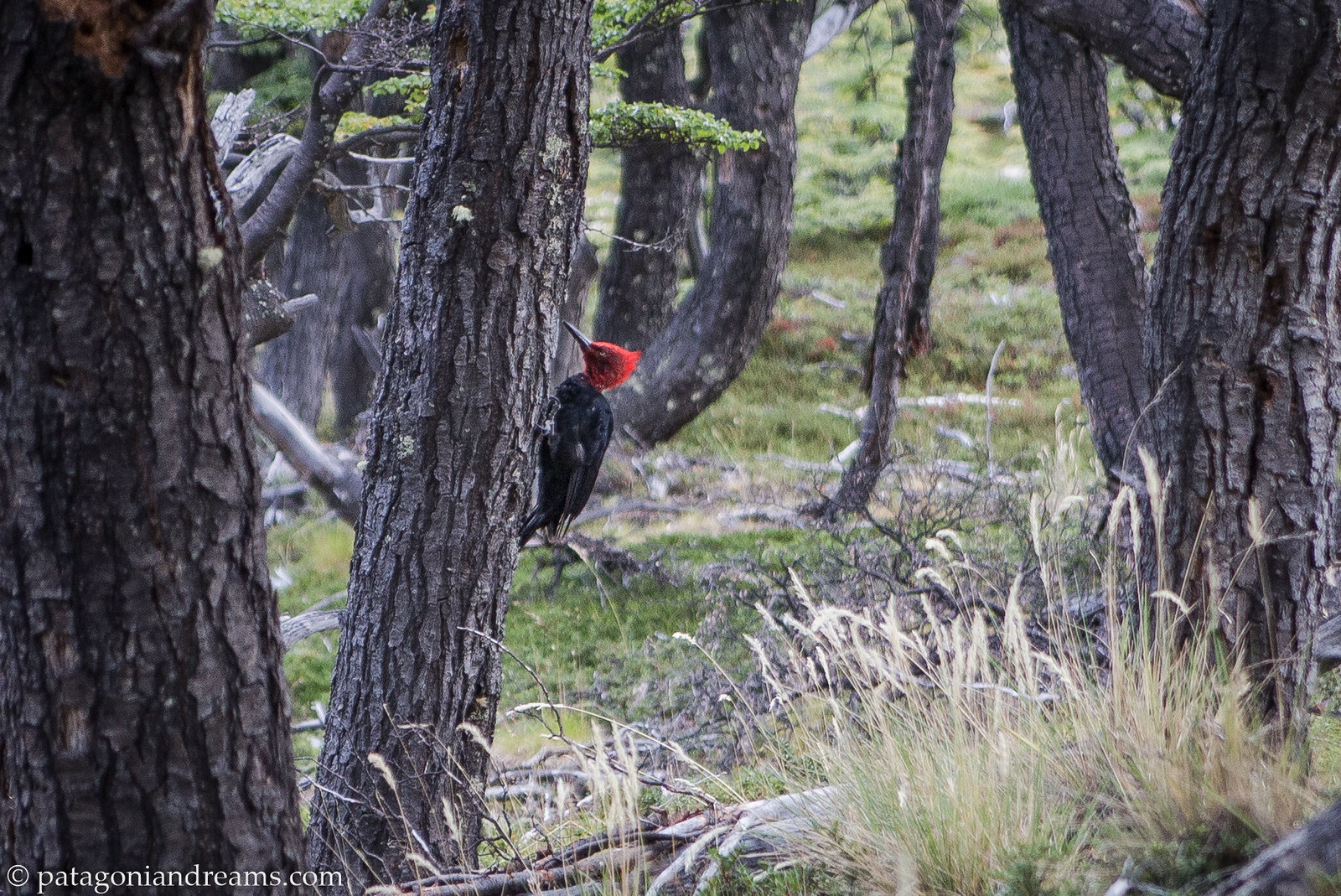
Magellanic woodpecker on a lenga tree next to our tent, Laguna Capri, day 4, NP Los Glaciares, Patagonia, Argentina.

Magellanic woodpecker on a lenga tree next to our tent, Laguna Capri, day 4, NP Los Glaciares, Patagonia, Argentina.

We will be back soon, day 4, NP Los Glaciares, Patagonia, Argentina.

NP Los Glaciares, Patagonia, Argentina.