“Life itself is the most wonderful fairy tale.” – Hans Christen Andersen
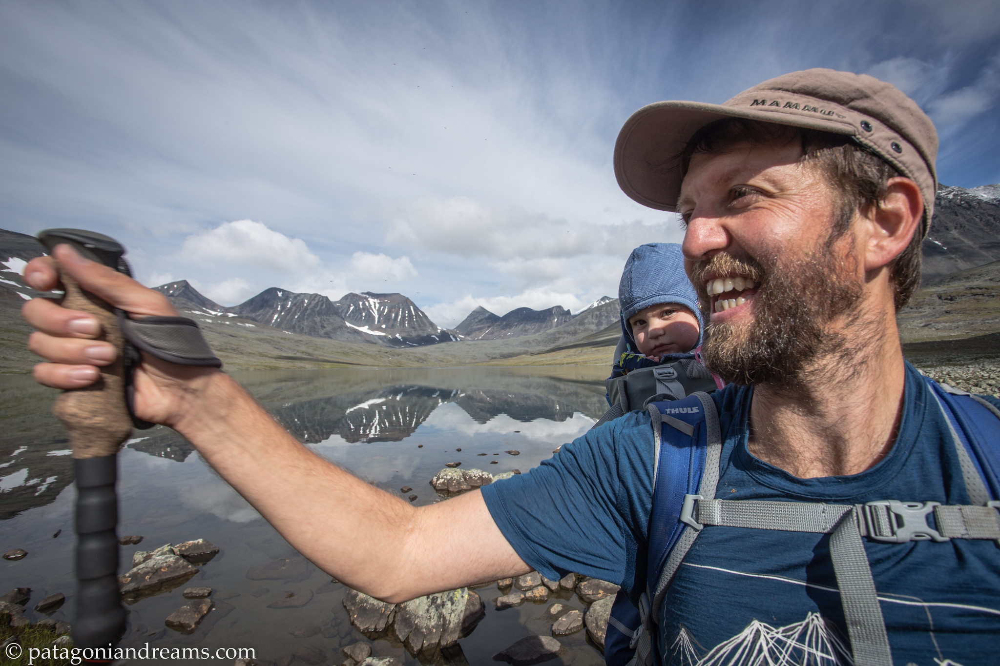
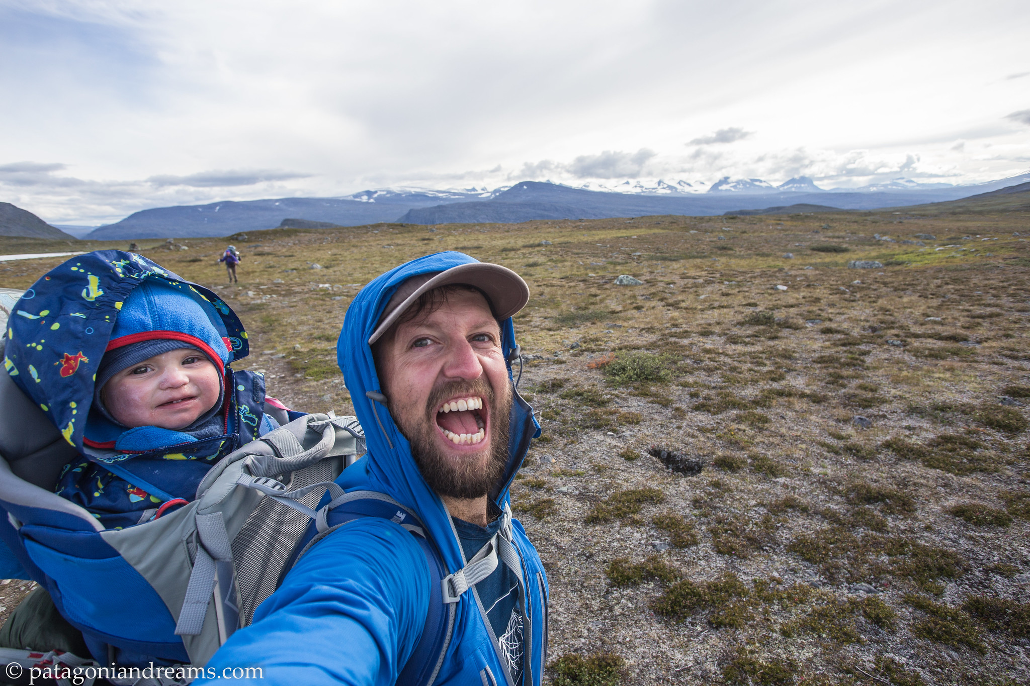
Peek-a-boo…. Is blogging still a thing in 2023-2024? This old adventure was in my concept folder, so why not releasing it after 4 years of empty silence on these pages?
So what’s up?
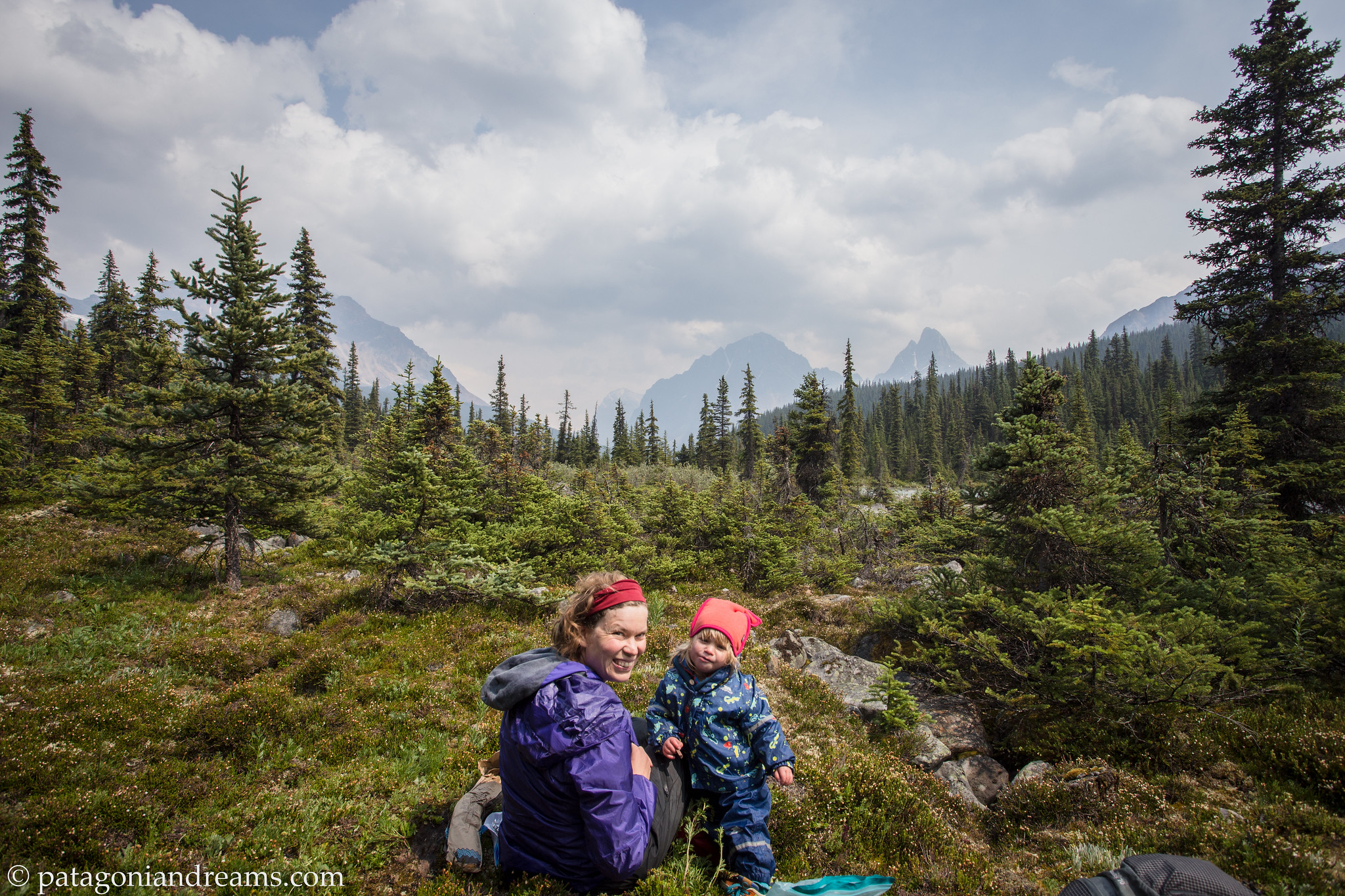
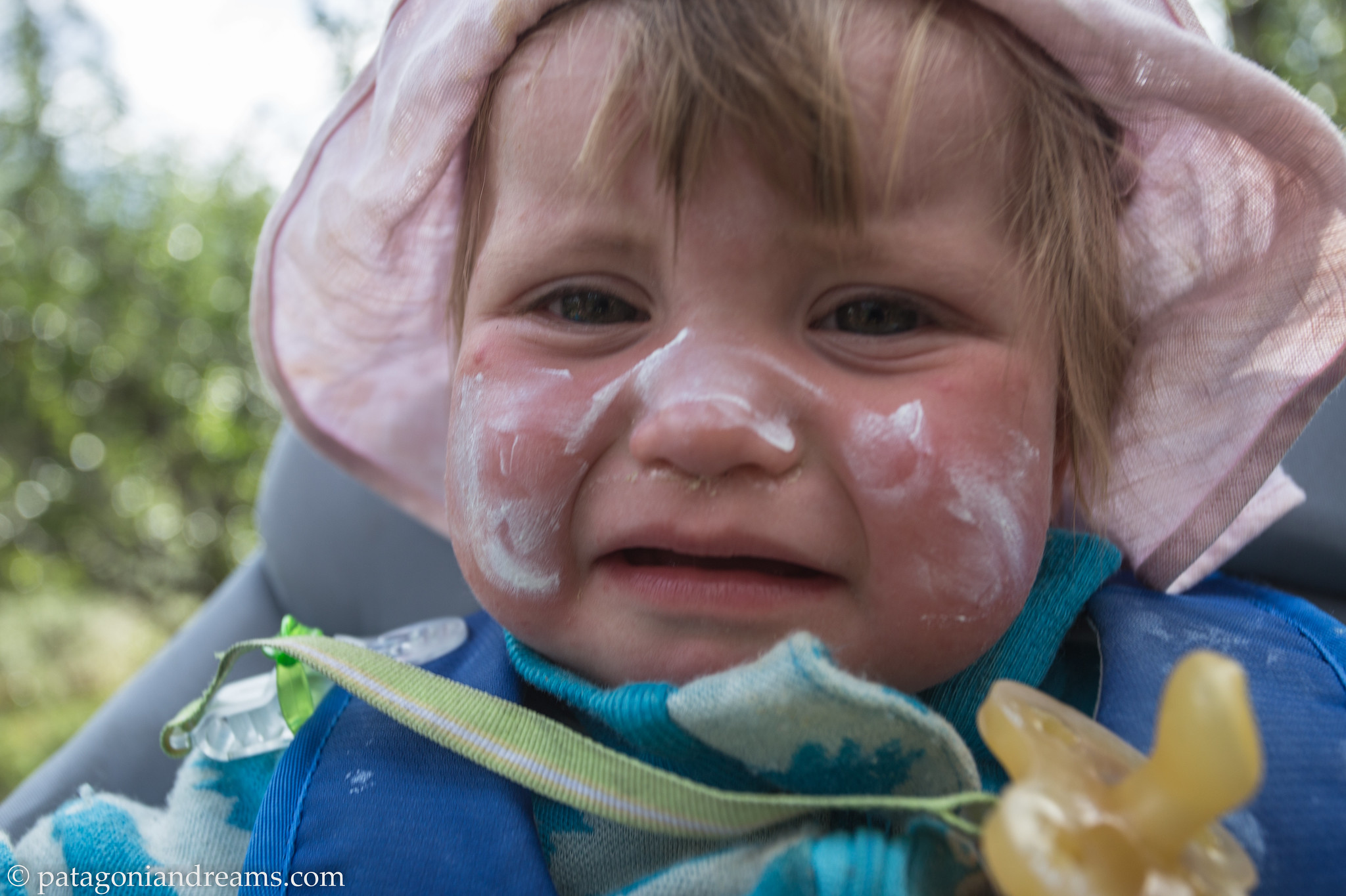
Our adventures have been far from idle, as little guy Pelle joined our journey in the summer of 2021, expanding our family to five members. For the latest updates on our recent escapades, check out our Instagram profile. Additionally, I’m currently in the process of editing a YouTube report documenting our three-month Patagonia adventure from the early months of 2022. Stay tuned for more!
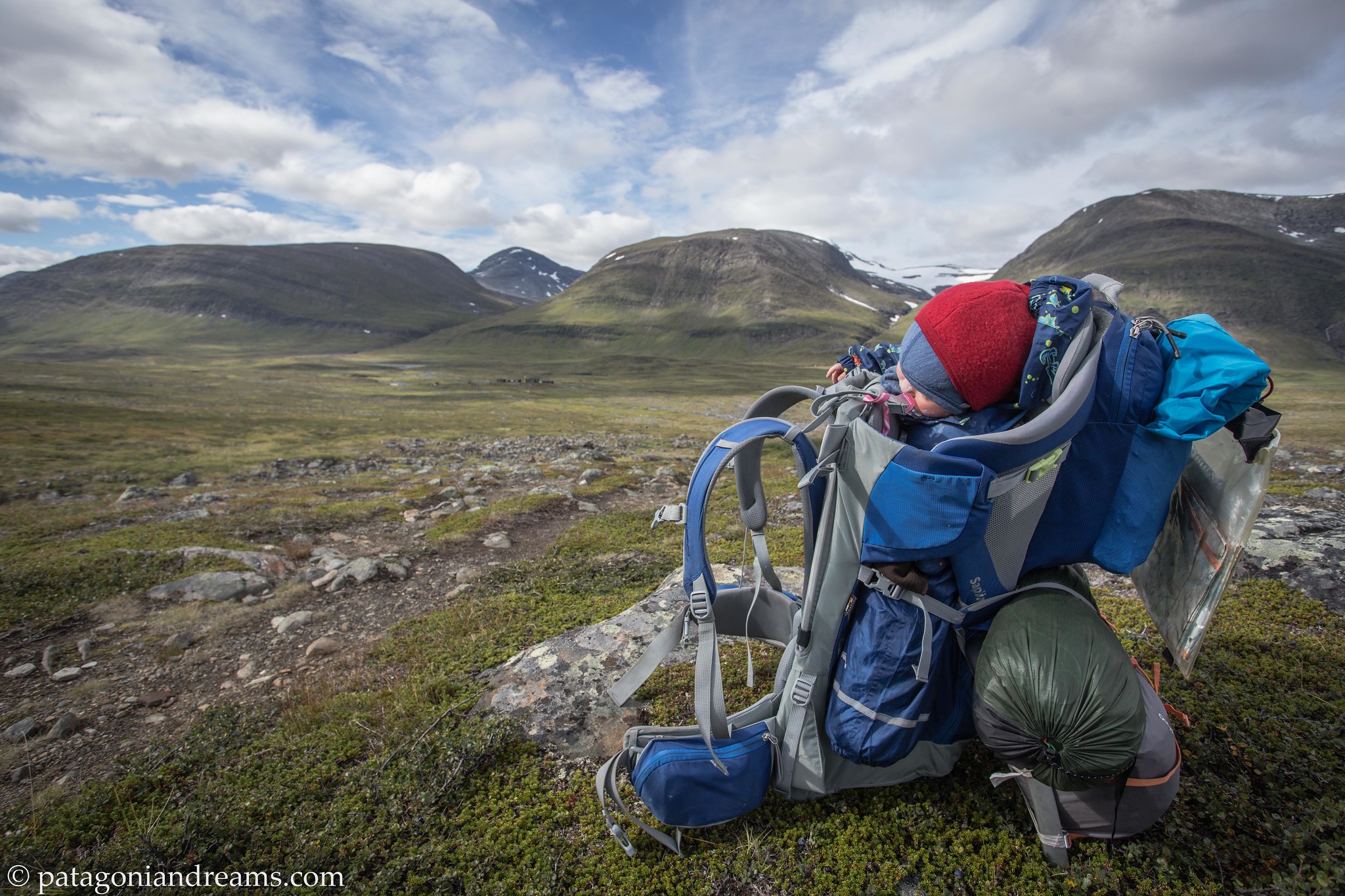
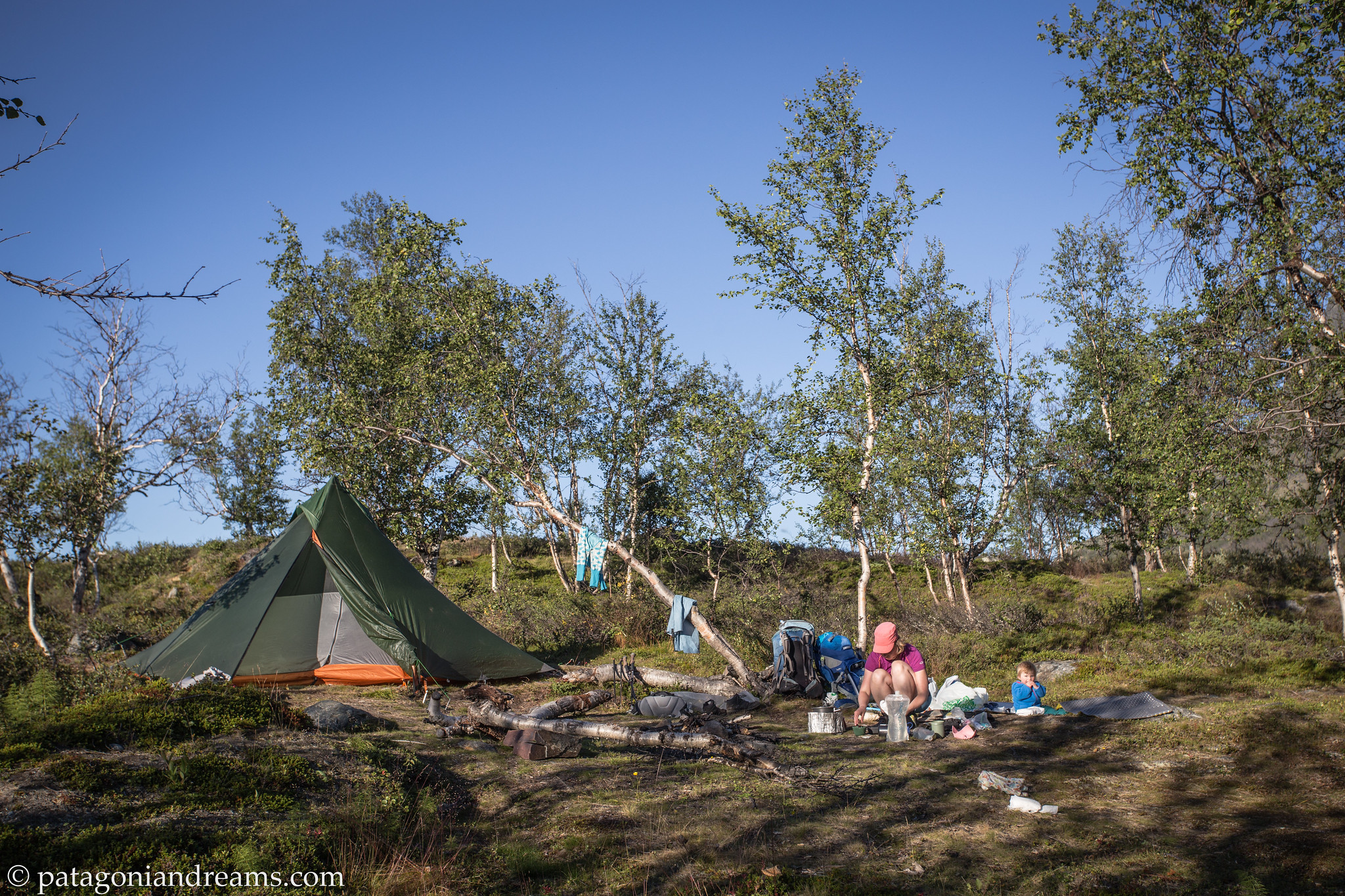
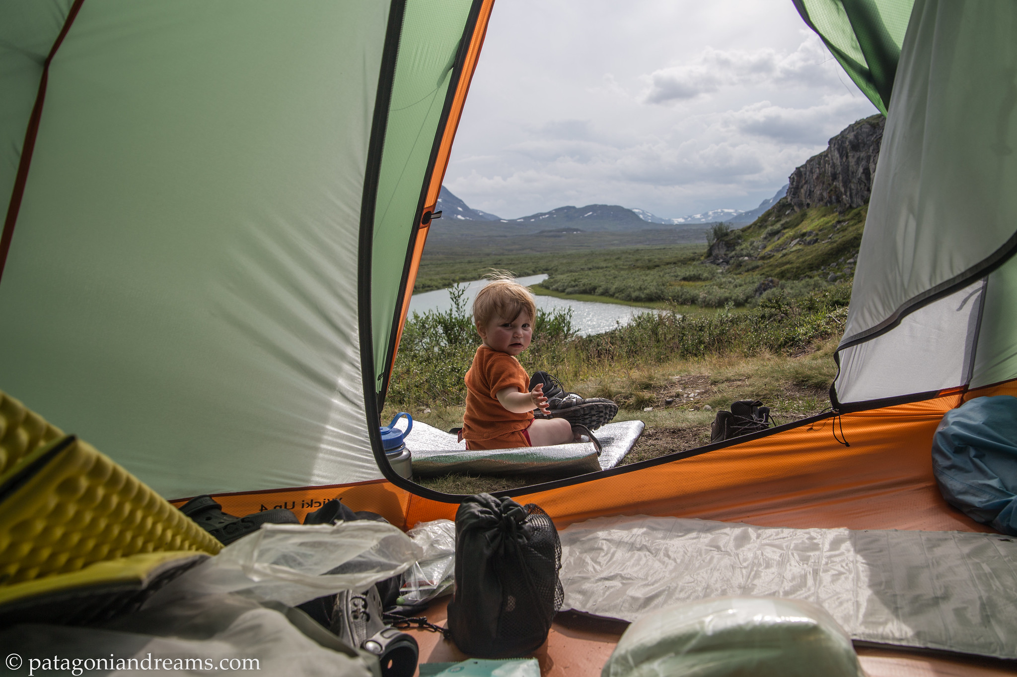
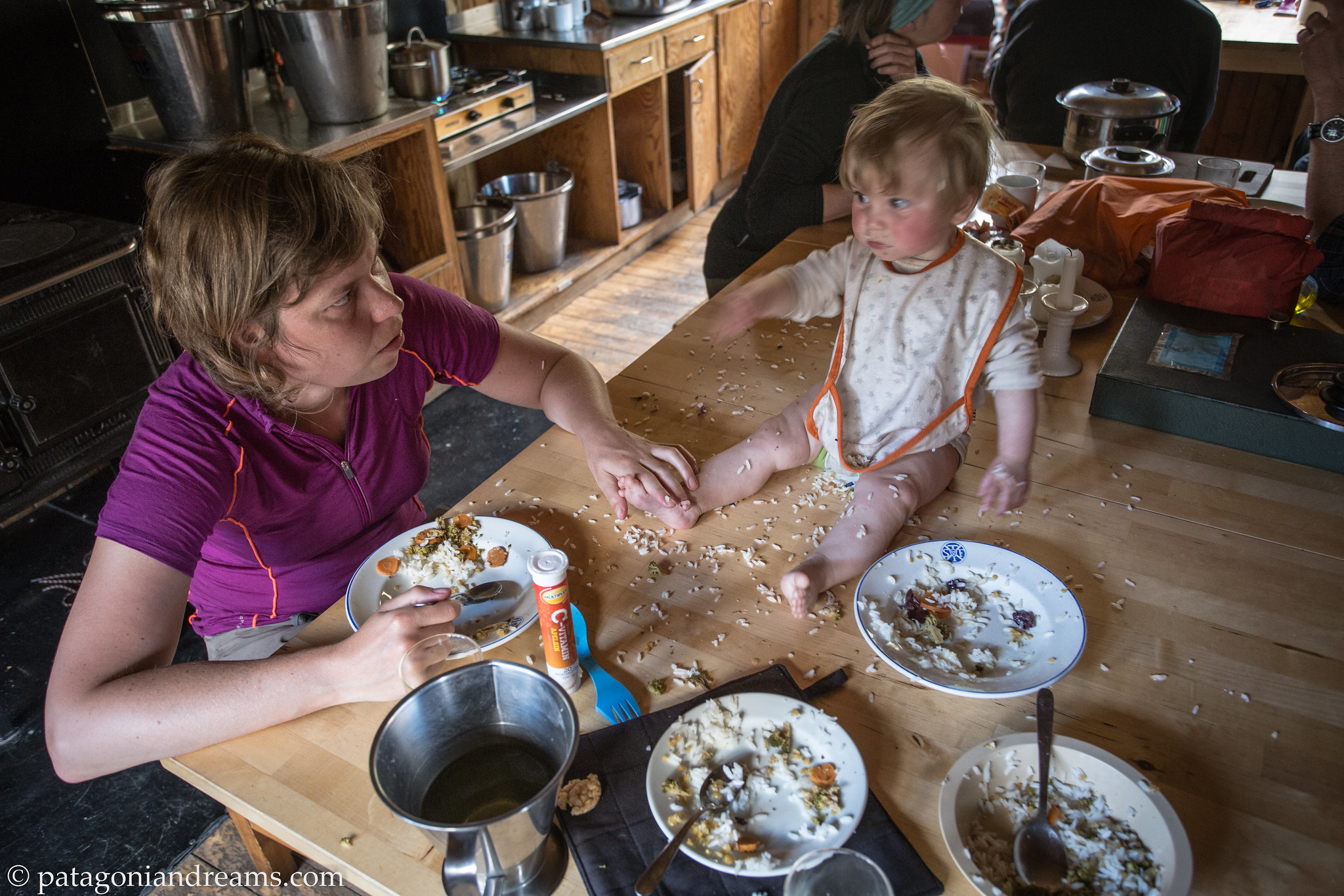
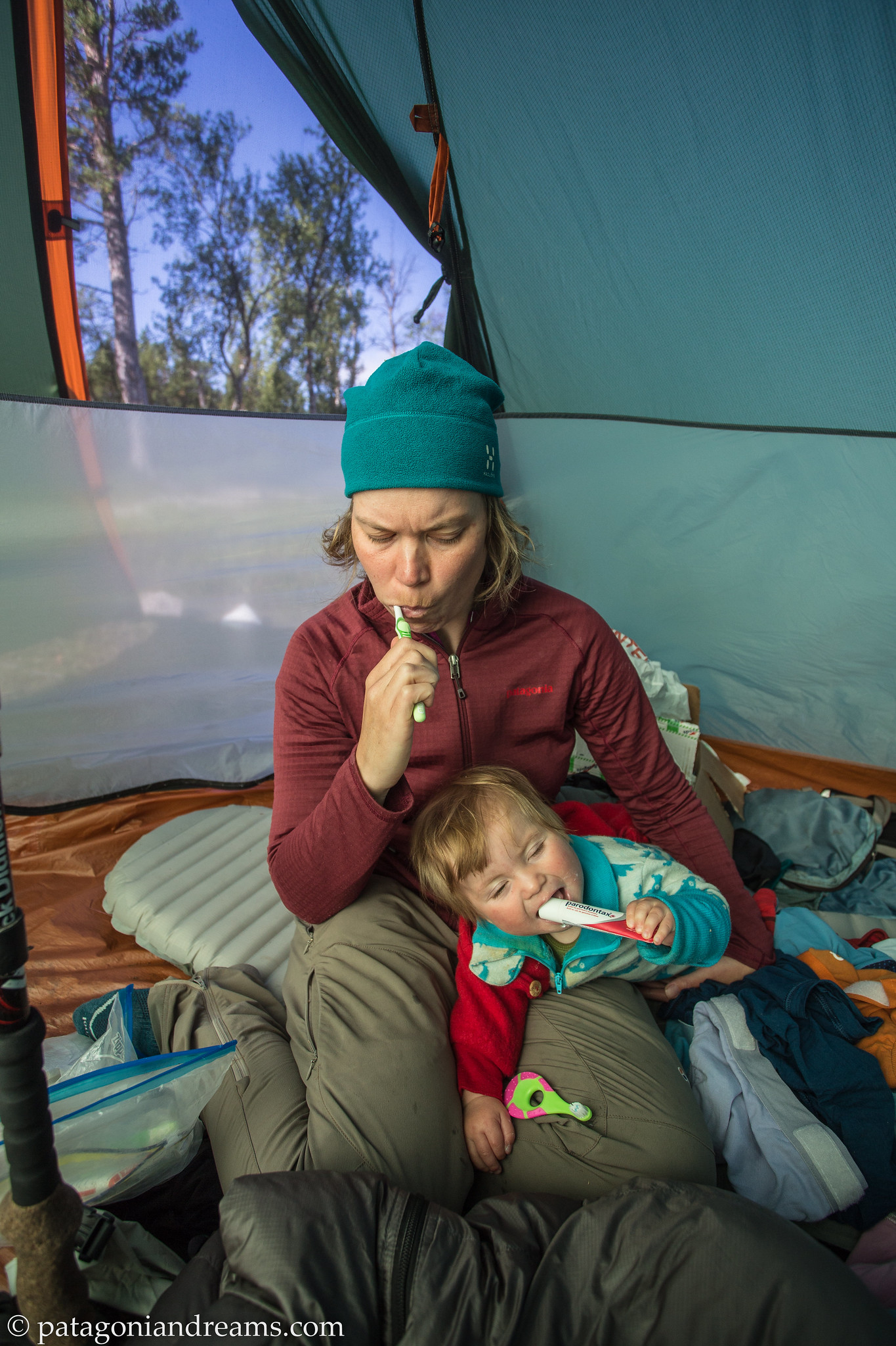
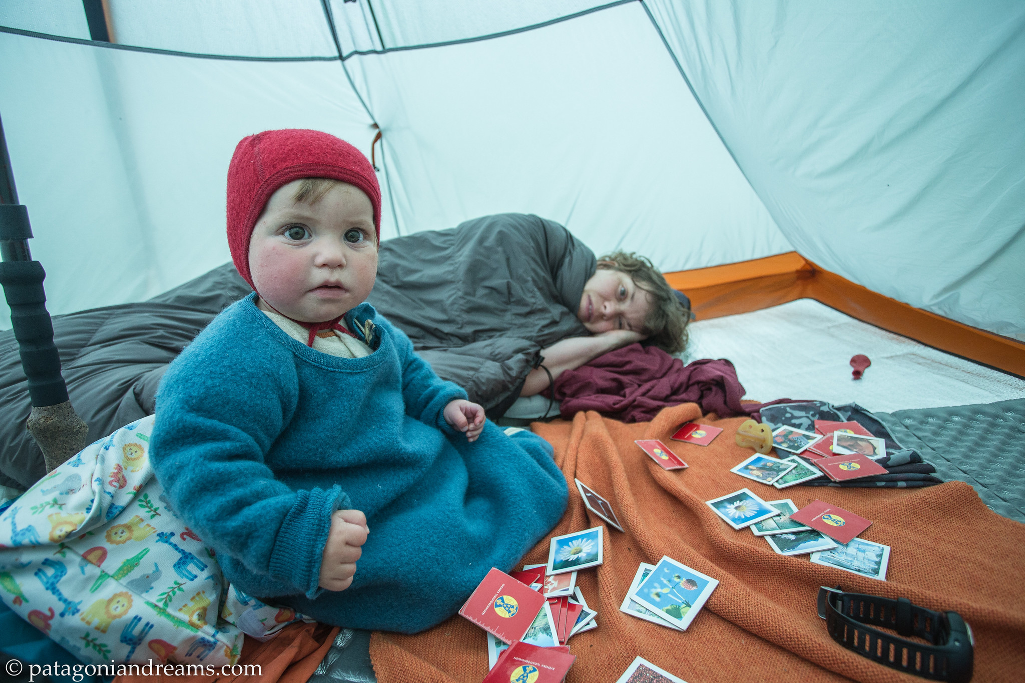
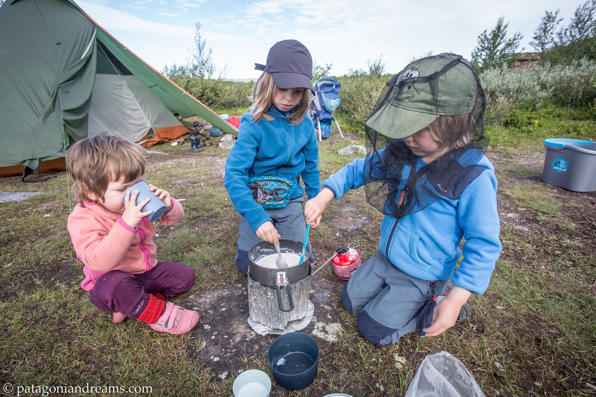
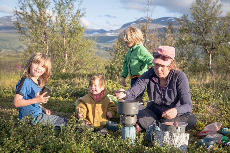 Mama cooking dinner with a little help from the happy bunch. August 2022. Abisko National Park. Swedish Lapland.
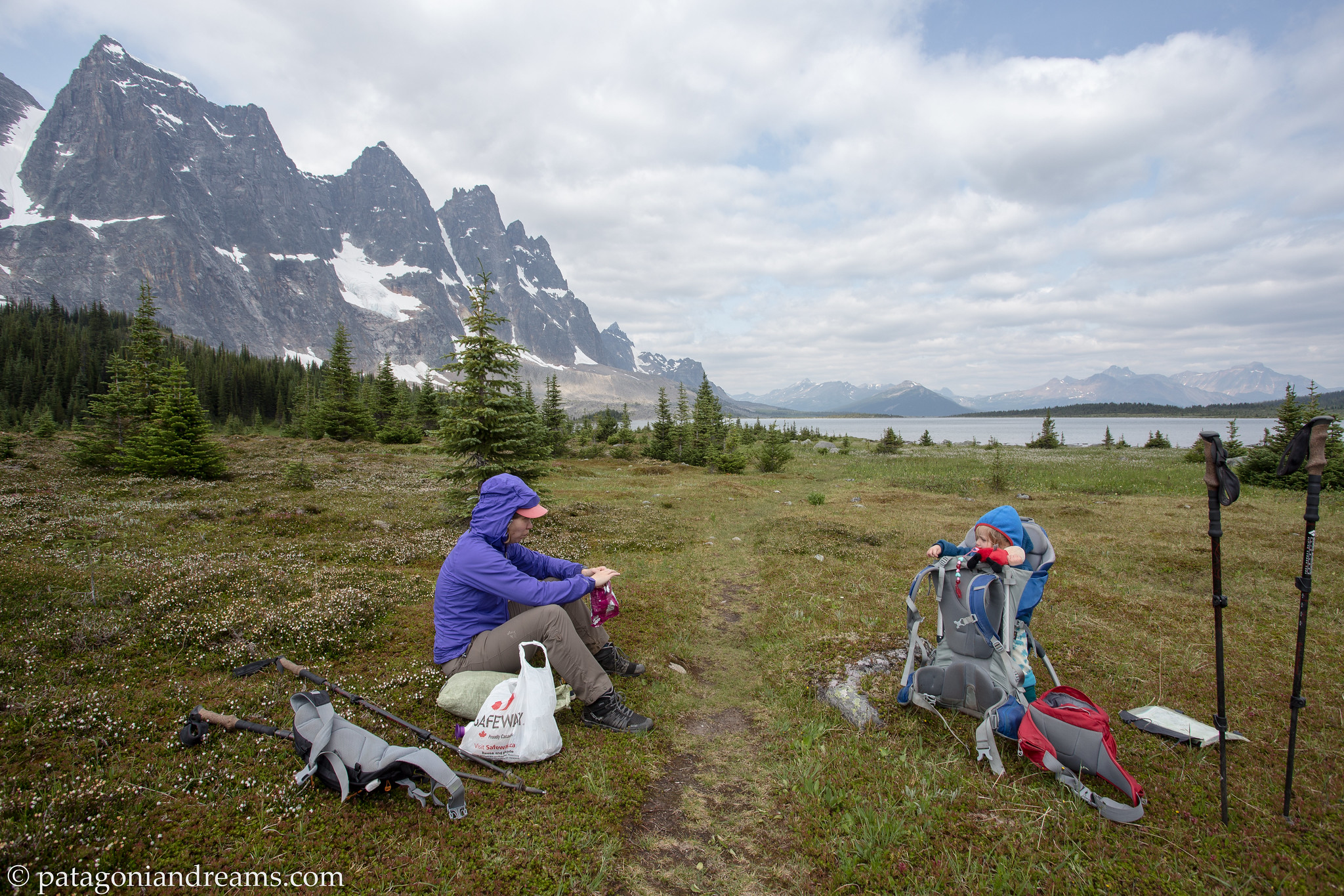
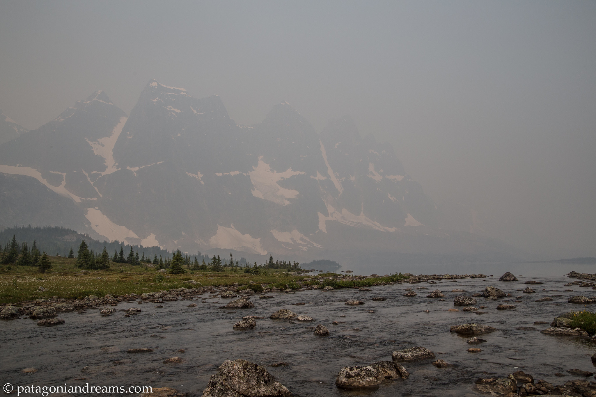
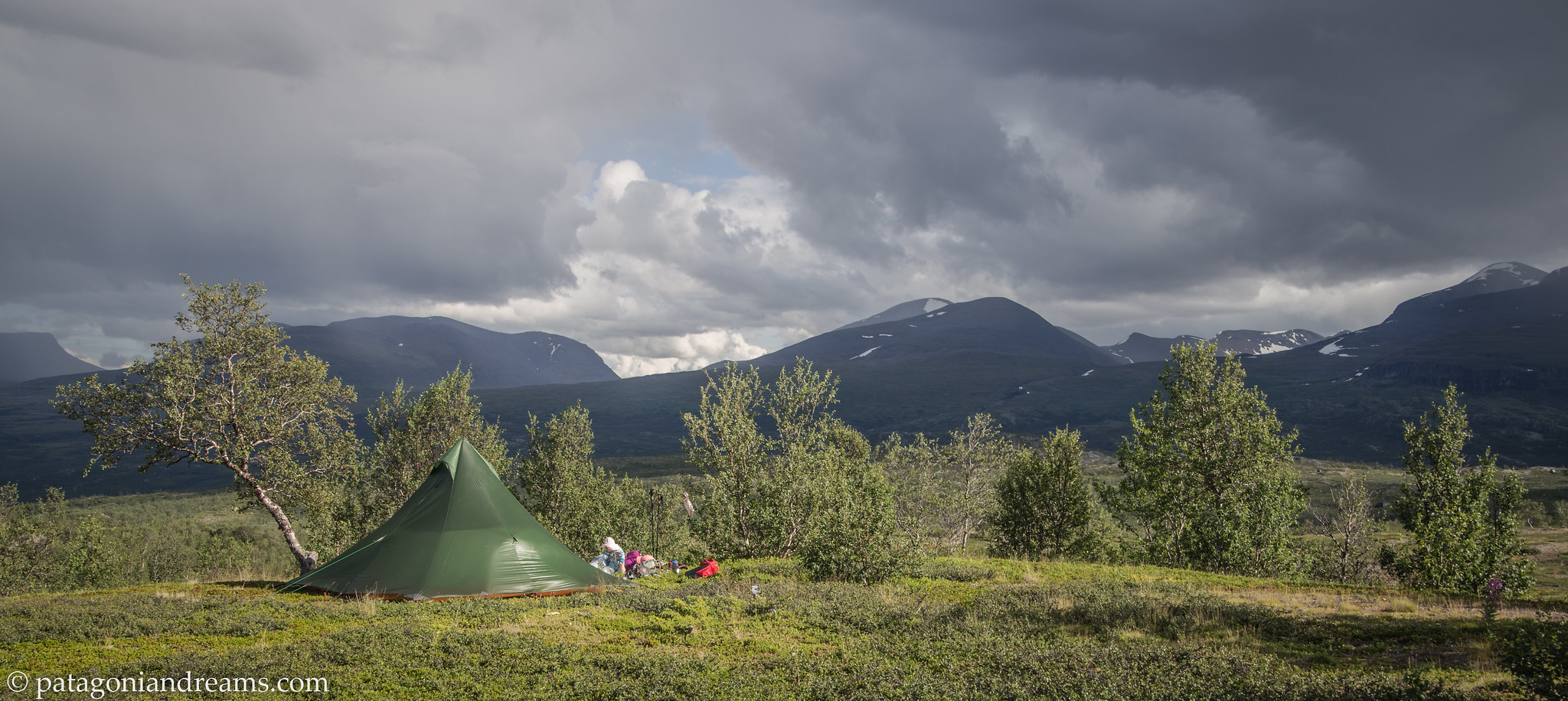
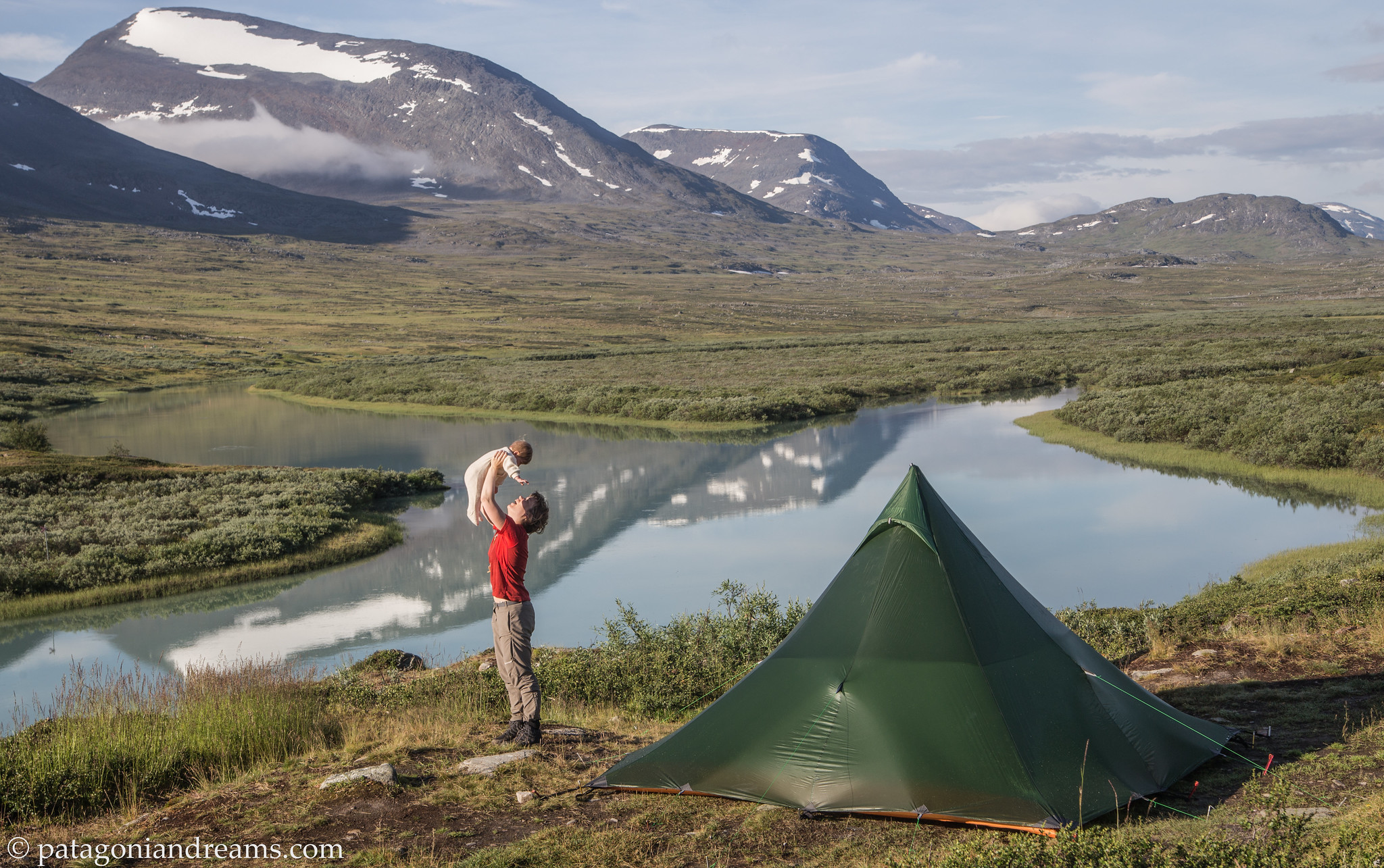
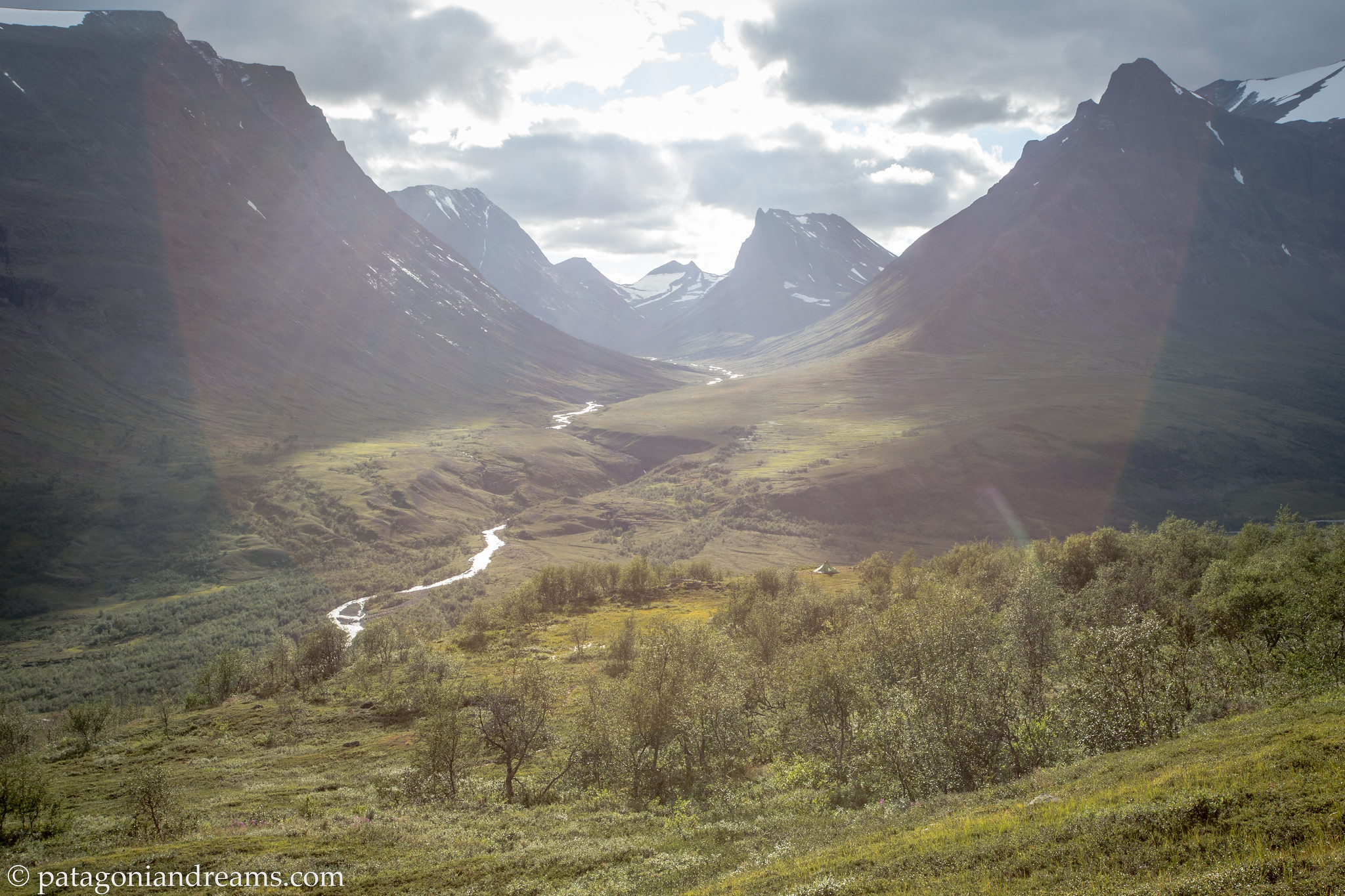
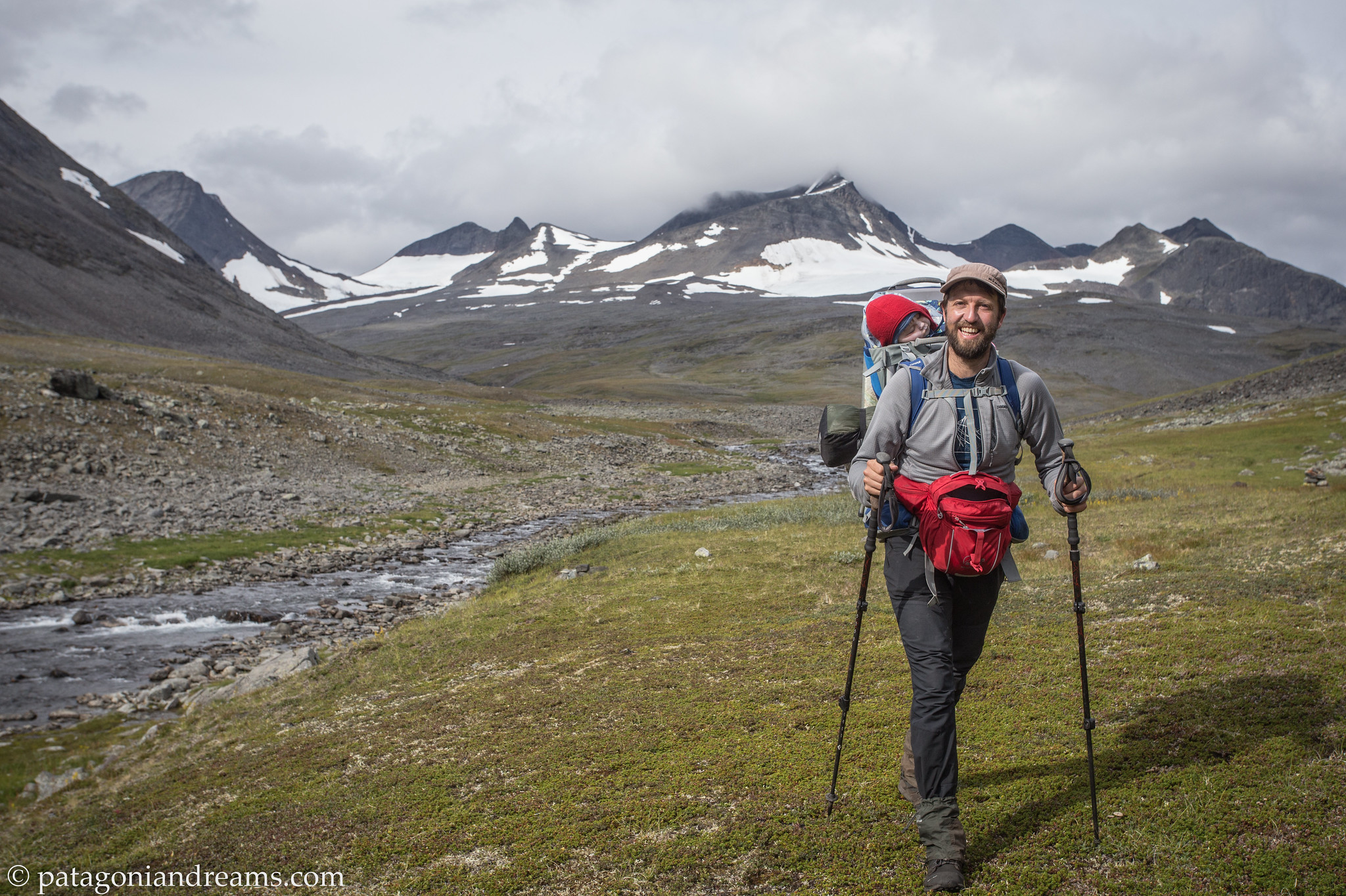
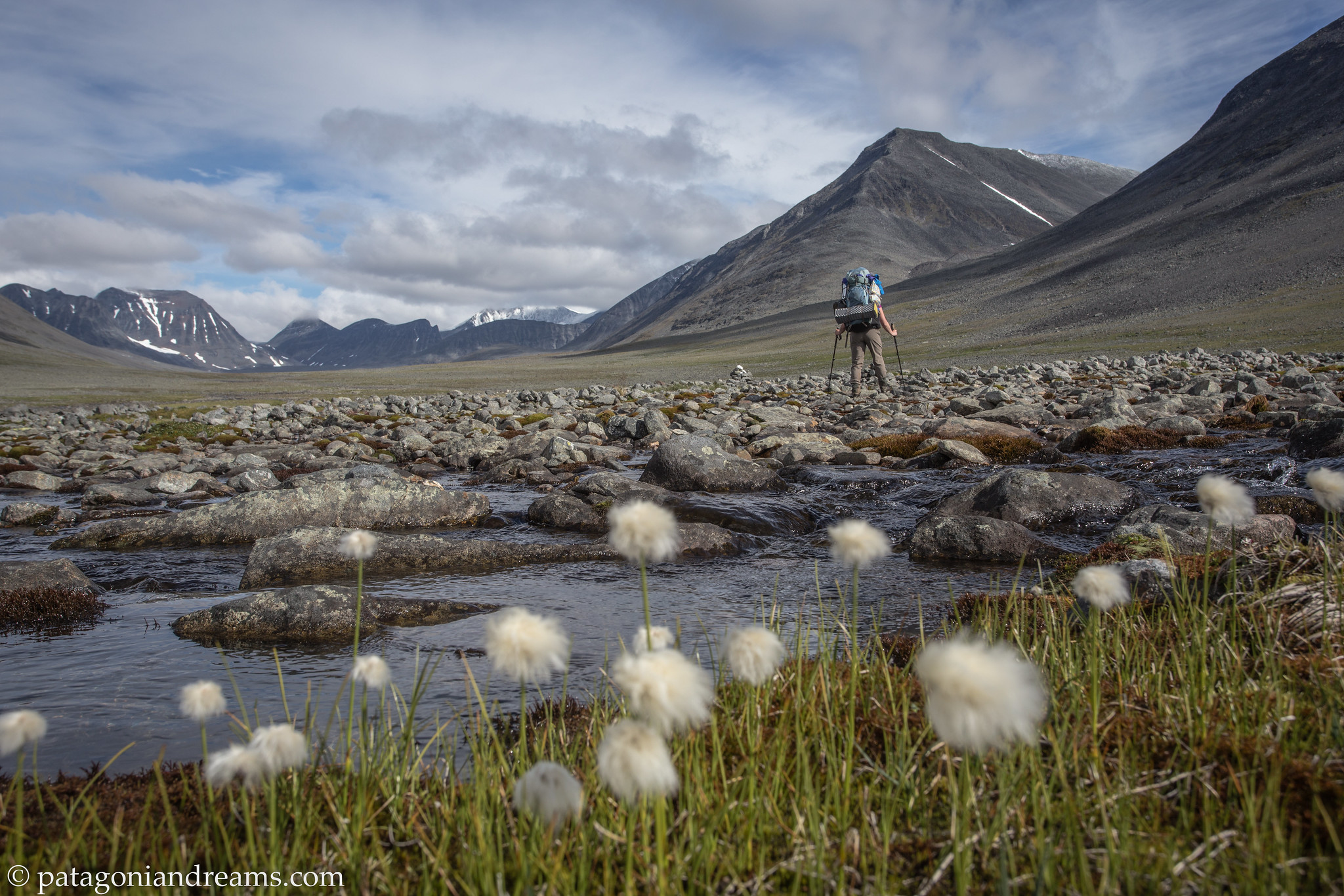
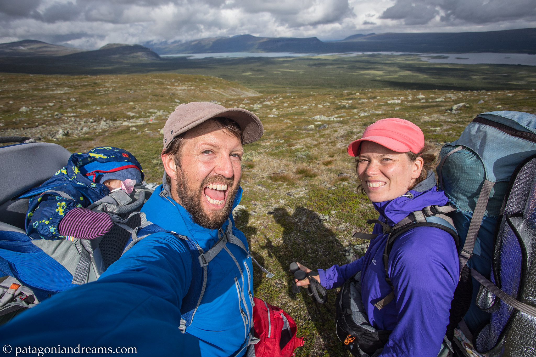
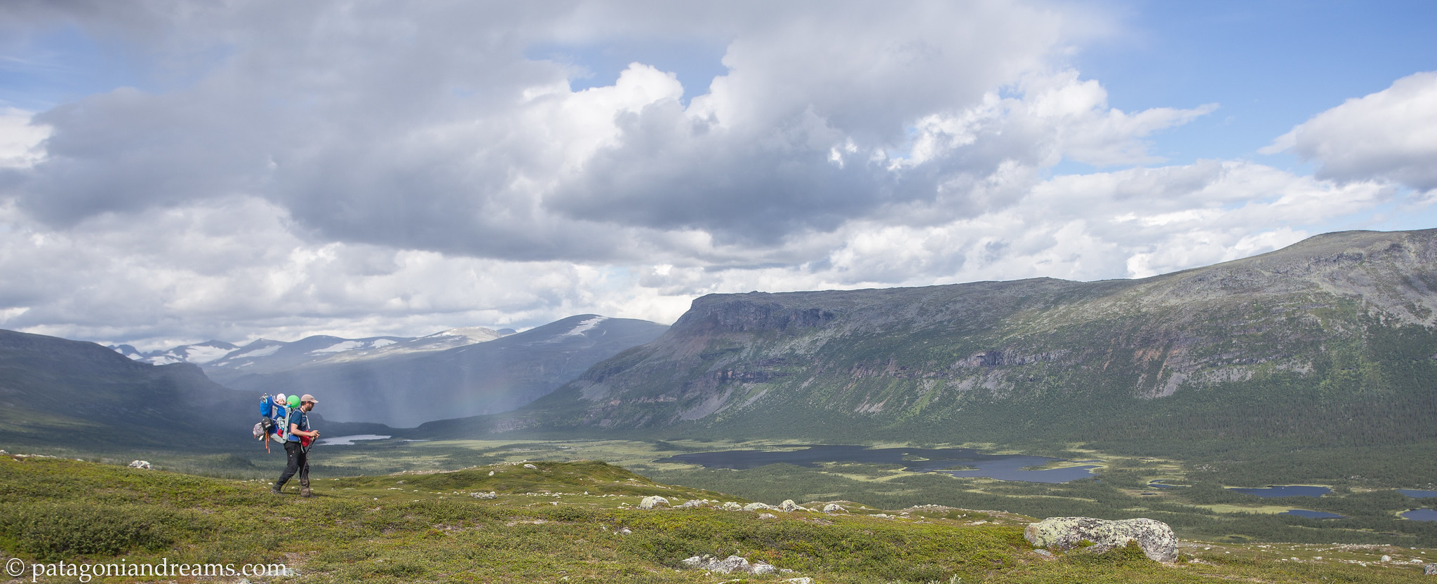
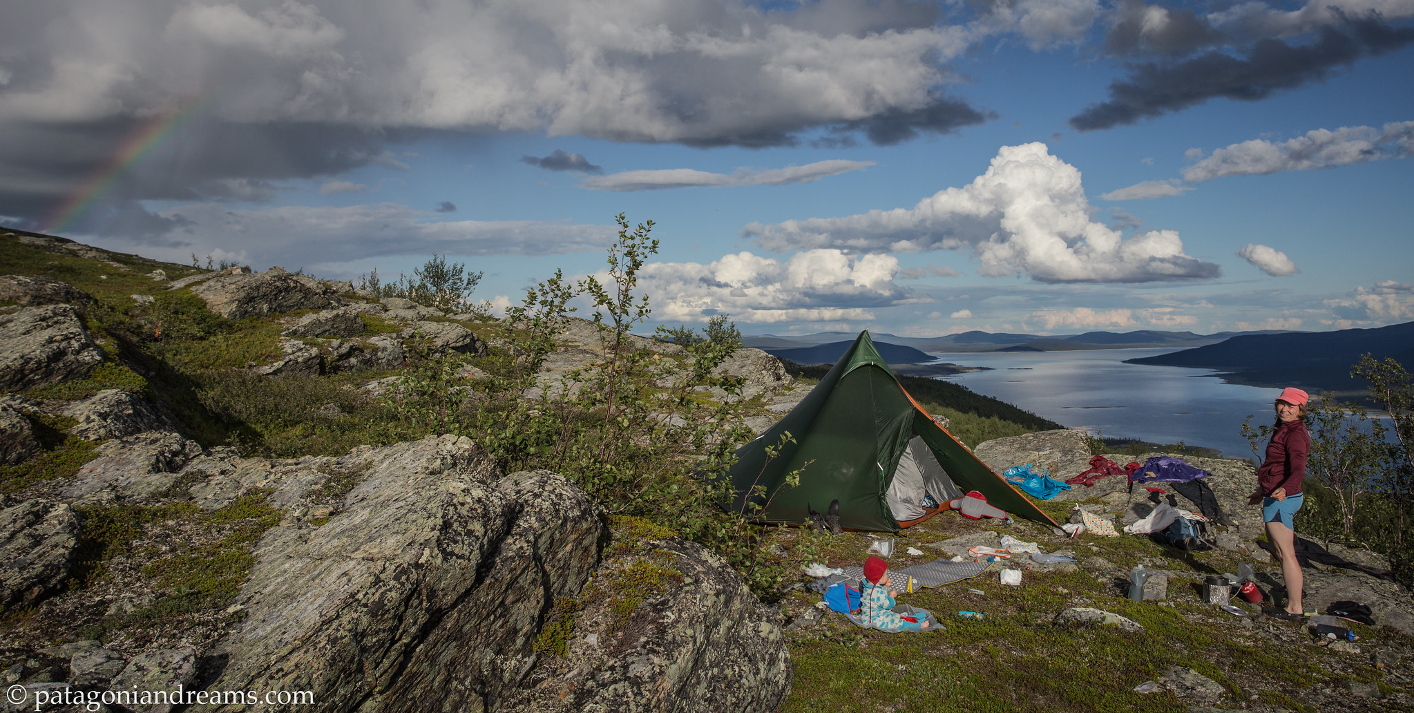
 Bivaouc on the Marsfjället last summer. July 2023. Southern Lapland. Sweden.
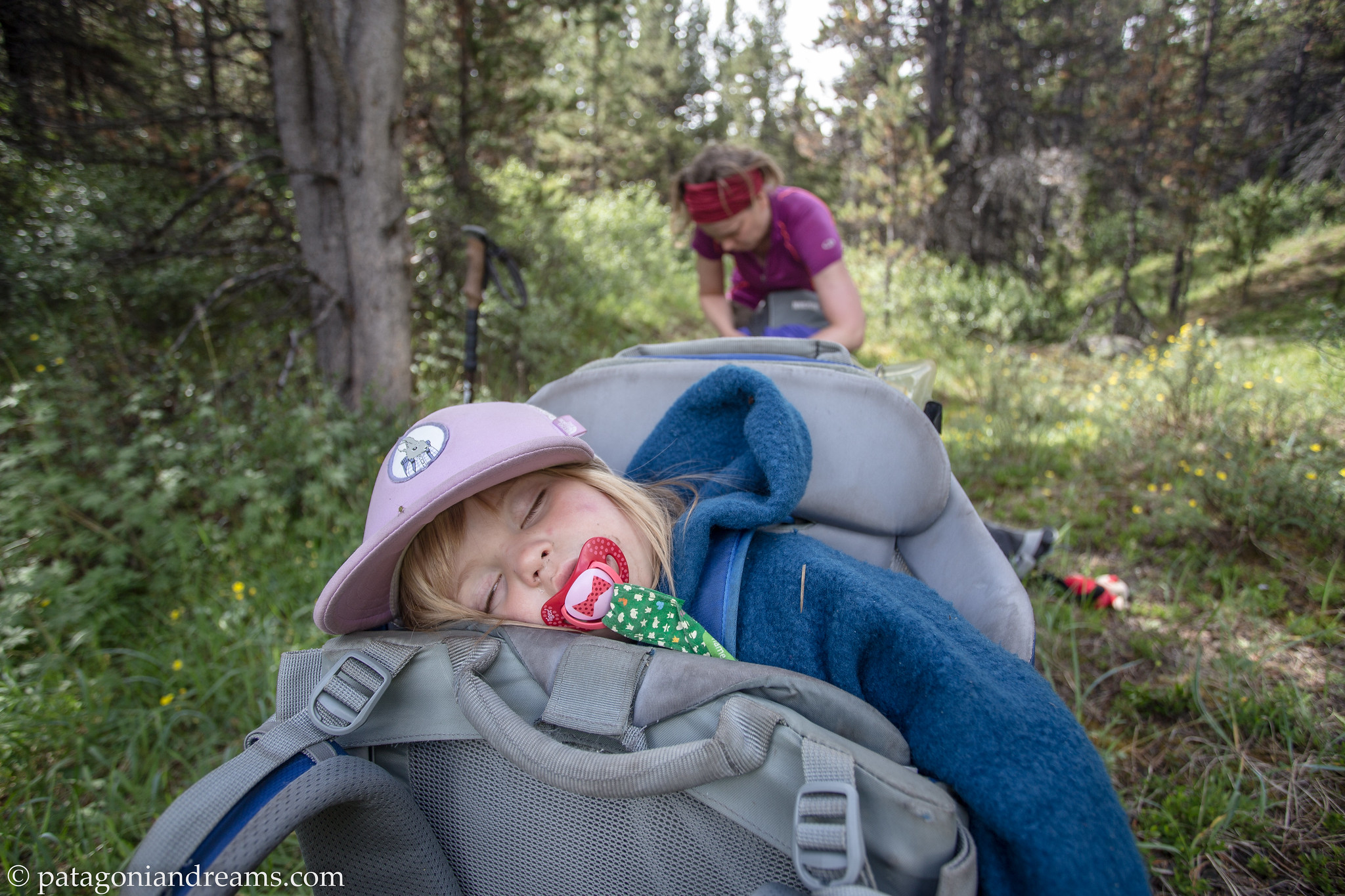
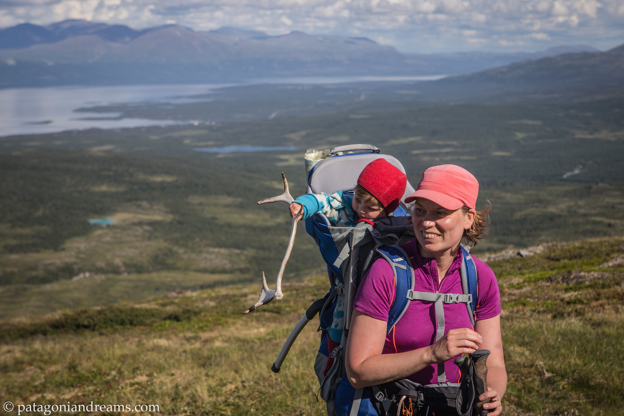
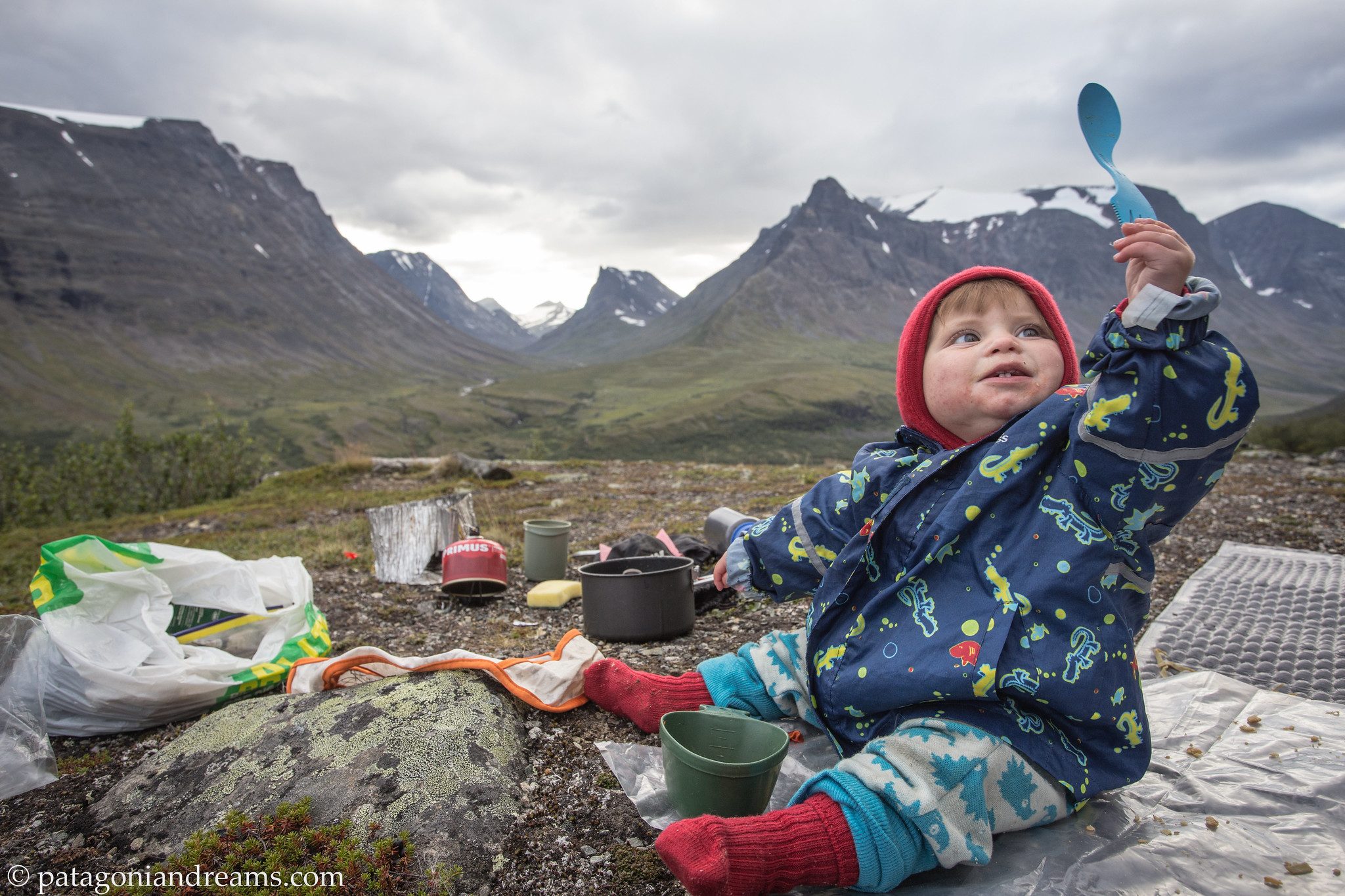
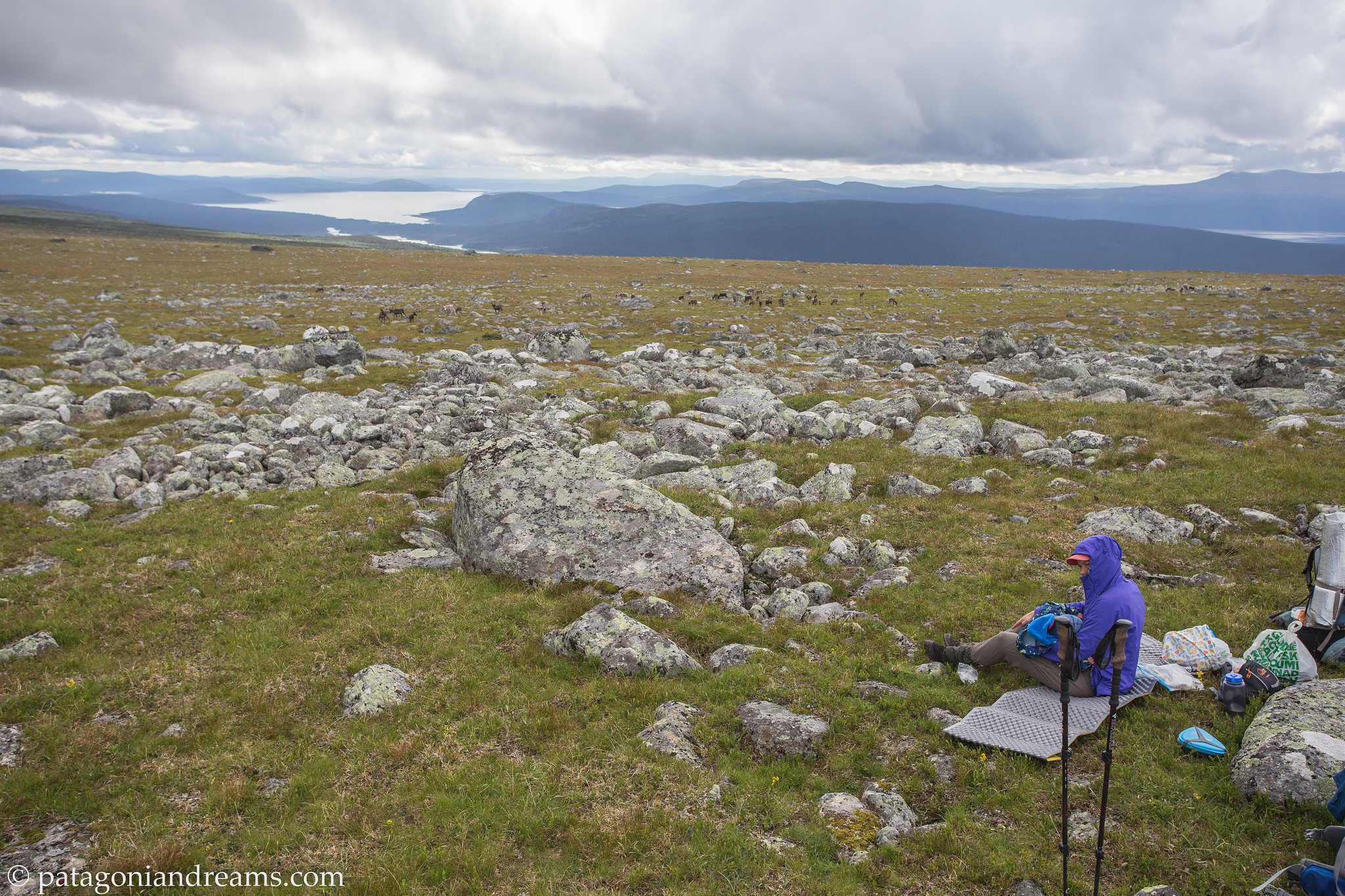
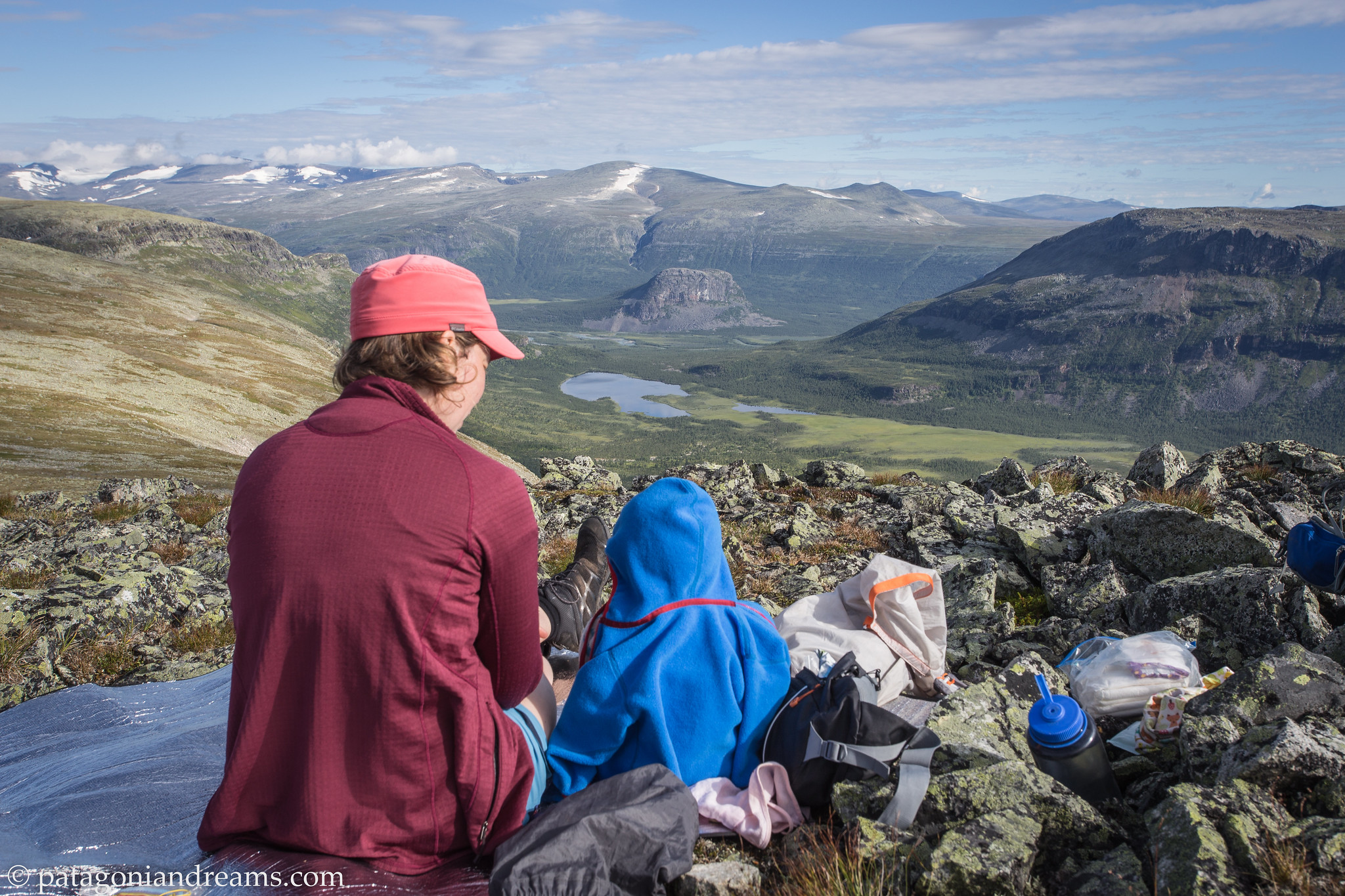
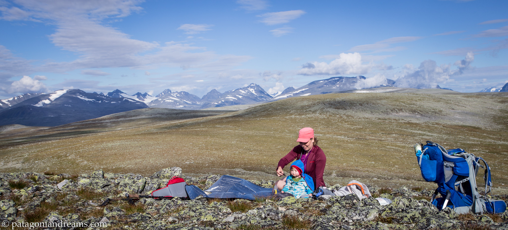
 Breakfast on a sunny morning on the Marsfjället. July 2023. Southern Lapland. Sweden.
Patagonia 2019 report
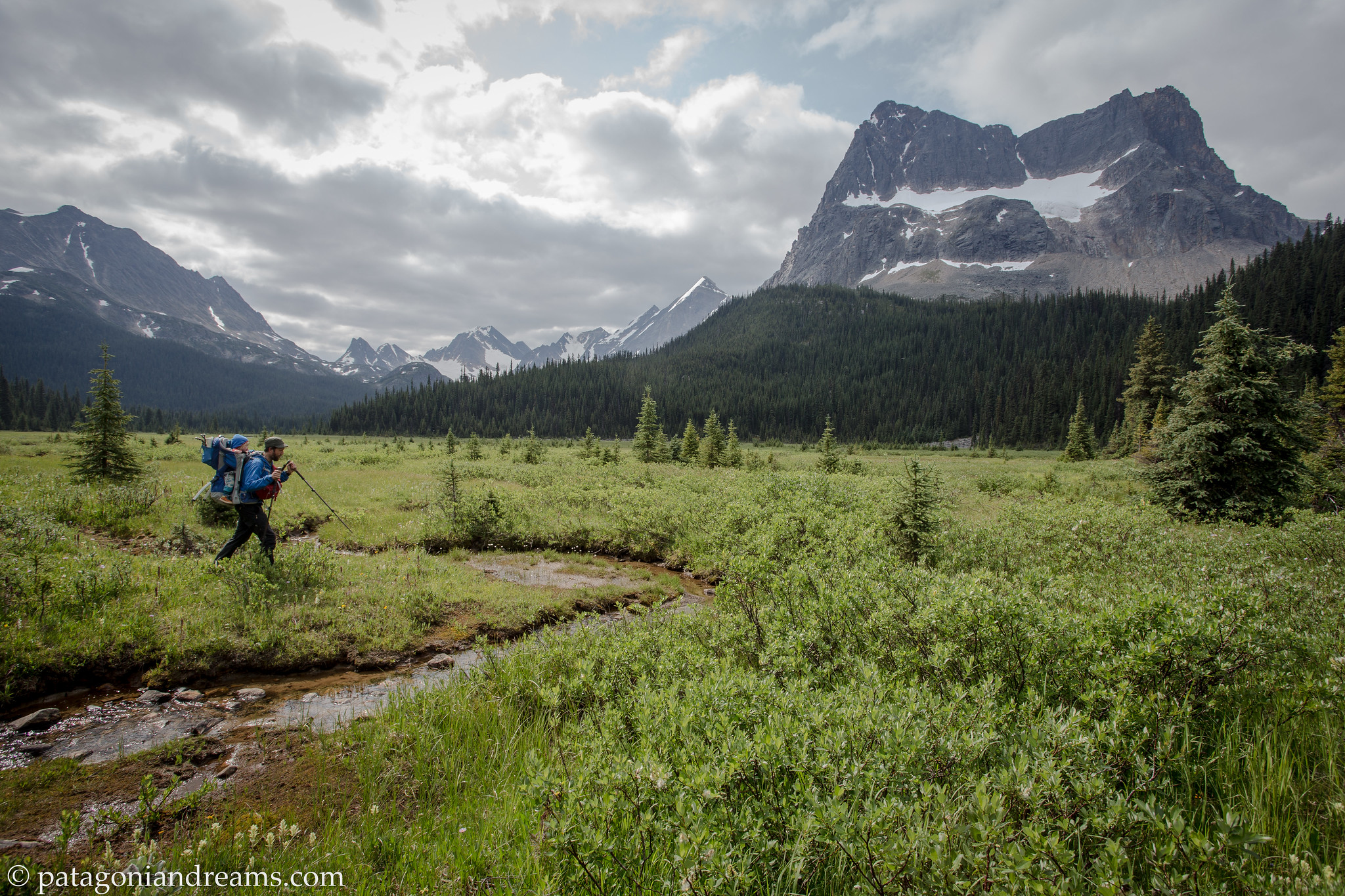
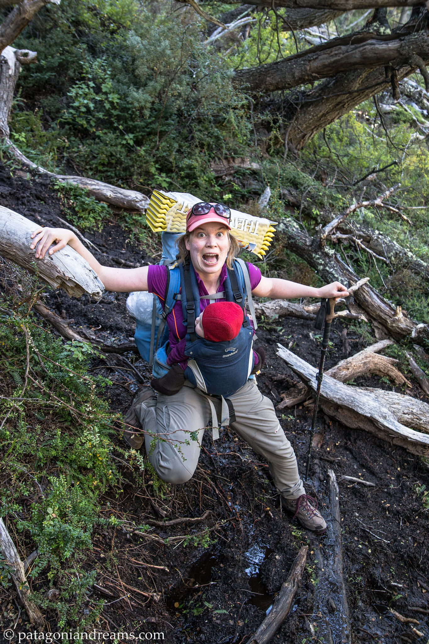
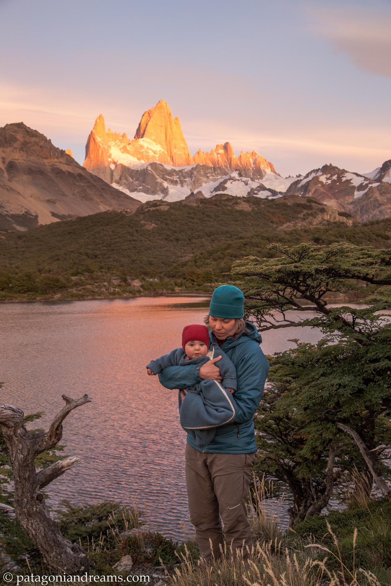
Ok. Time to go back almost 5 years. Explore a visual chronicle capturing Bosse’s six-week birth journey in the picturesque landscapes of Patagonian Chile and Argentina during the months of March and April 2019. Bosse was 6 months old at the start of the trip. Lotta was 3 and a half. It was a trip with ups and downs, because Bosse got sick 2 times. But the weather was great, and we had a wonderfull time!
For those who prefer to see a short aftermovie, we like to recommend:
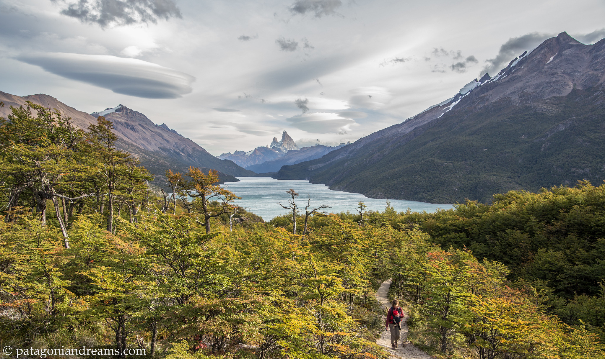
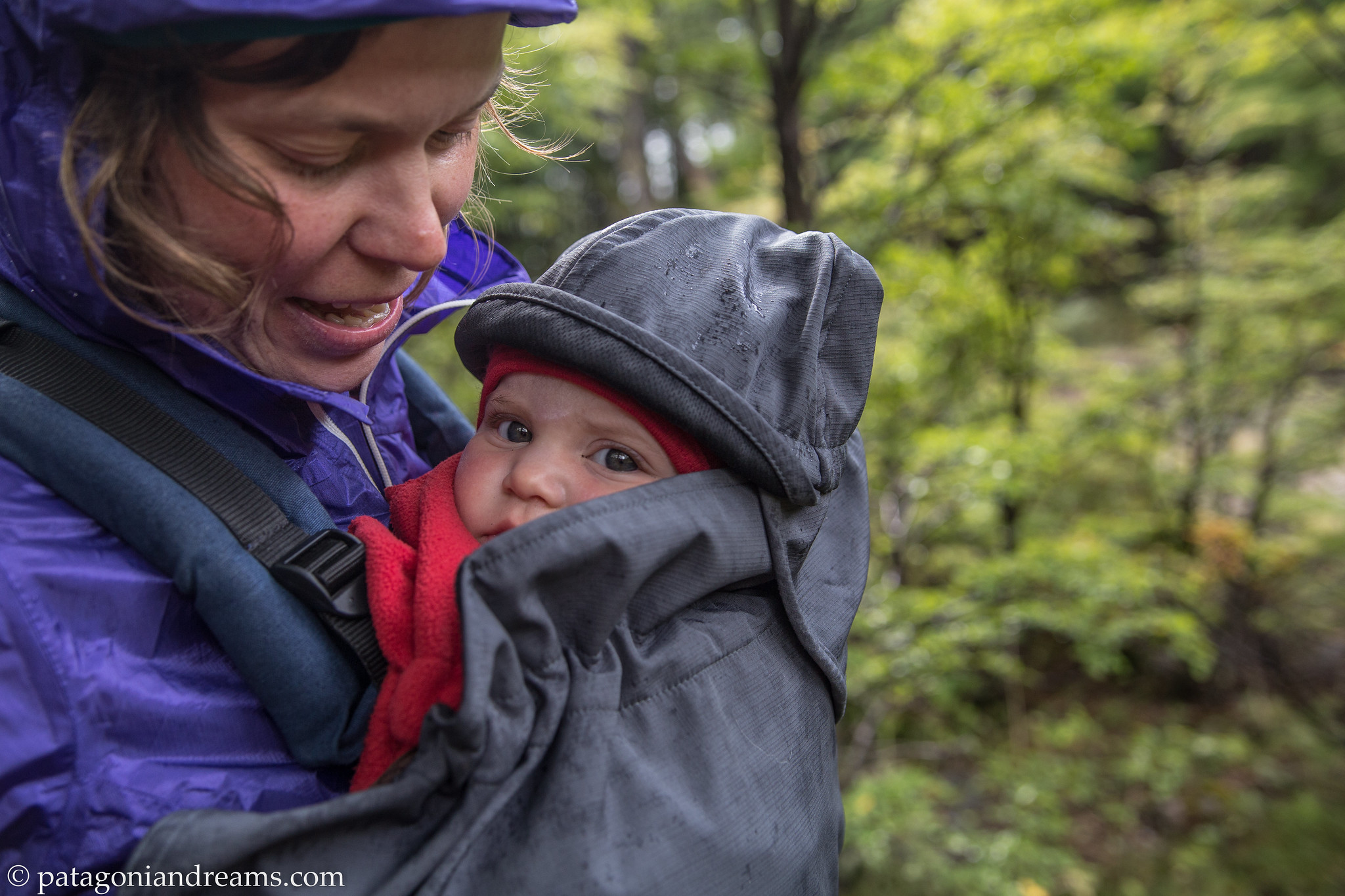
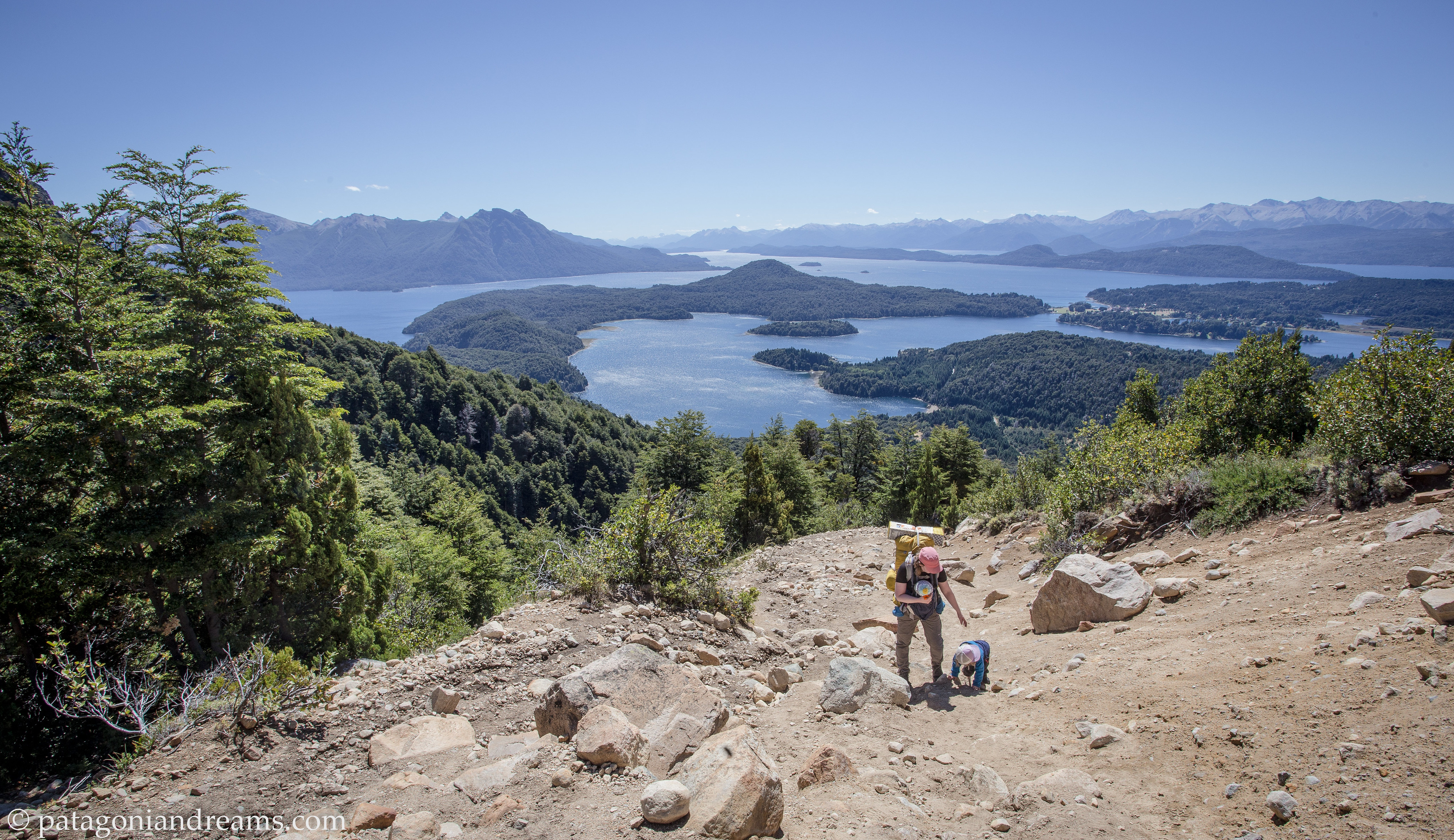 Climbing towards the Refugio Cerro Lopez, PN Nahuel Huapi, Río Negro, Patagonia, Argentina
 Native lenga forrest on the climb towards the Refugio Cerro Lopez, PN Nahuel Huapi, Río Negro, Patagonia, Argentina
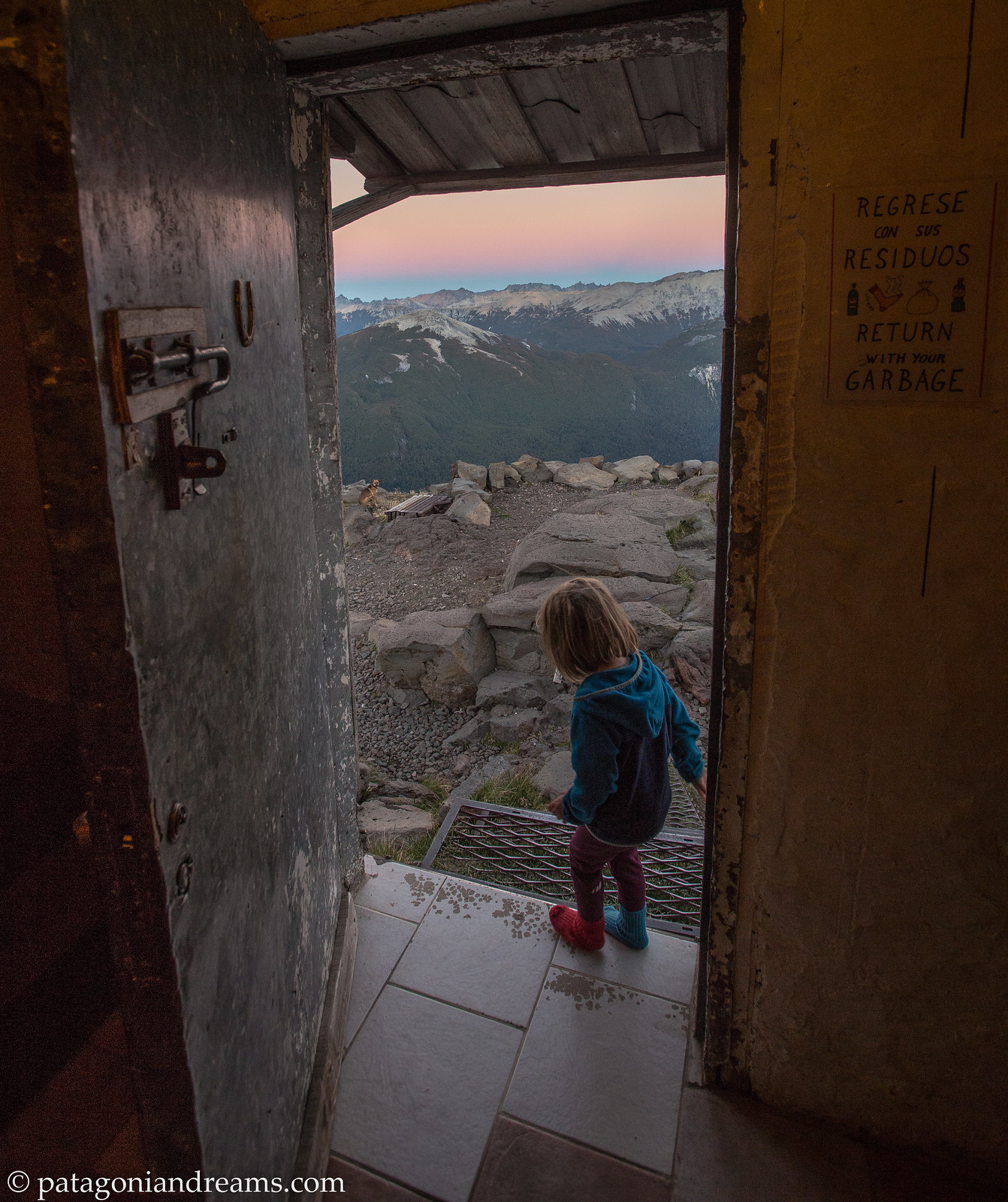
 Refugio Cerro Lopez at sunrise, high above the Lago Nahuel Huapi, PN Nahuel Huapi, Río Negro, Patagonia, Argentina
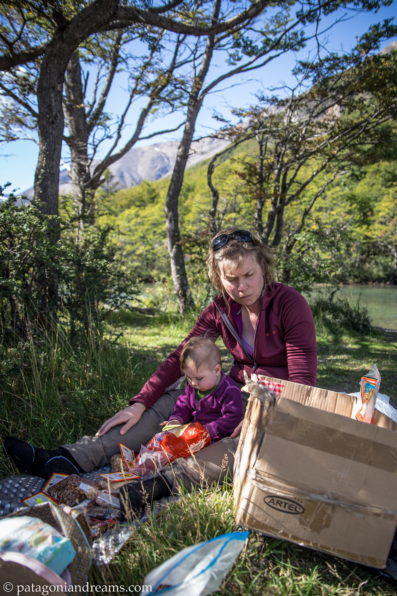
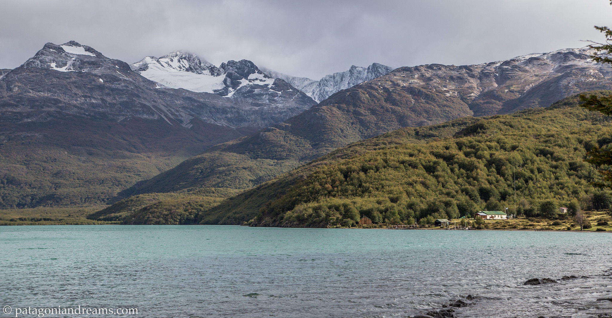
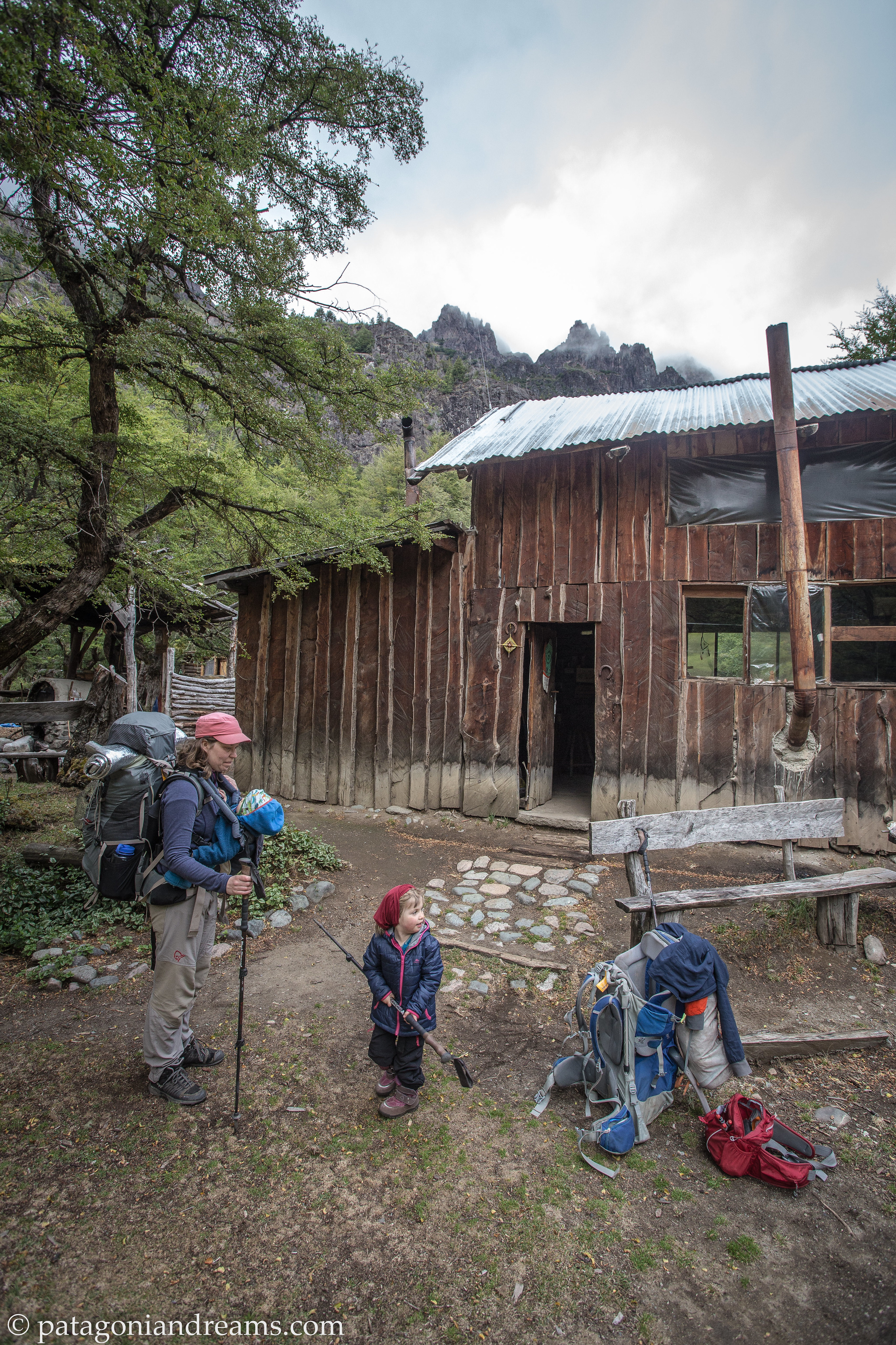
 Camping on the shores of Lago Gutiérrez, within the grounds of Los Baqueanos, Río Negro, Patagonia, Argentina , Río Negro, Patagonia, Argentina
 Camping on the shores of Lago Gutiérrez, within the grounds of Los Baqueanos, Río Negro, Patagonia, Argentina , Río Negro, Patagonia, Argentina<
 Lunch stop on the 12k trek towards Refugio Encanto Blanco, Comarca andina del Paralelo 42, Patagonia, Argentina
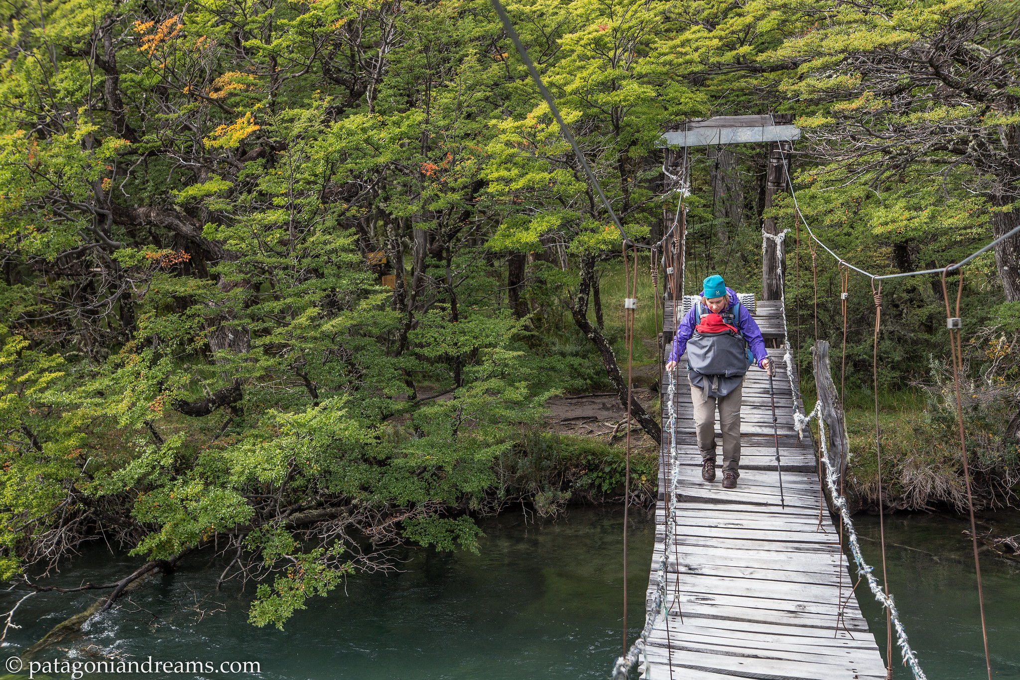
 Crossing the suspension bridge near Refugio Encanto Blanco, Río Negro, Patagonia, Argentina
 Arrived save and sound at Refugio Encanto Blanco, Río Negro, Patagonia, Argentina
 Dusk near the Refugio Encanto Blanco, Río Negro, Patagonia, Argentina
 Riding the old Patagonian Express through the steppes of Chubut, Patagonia, Argentina
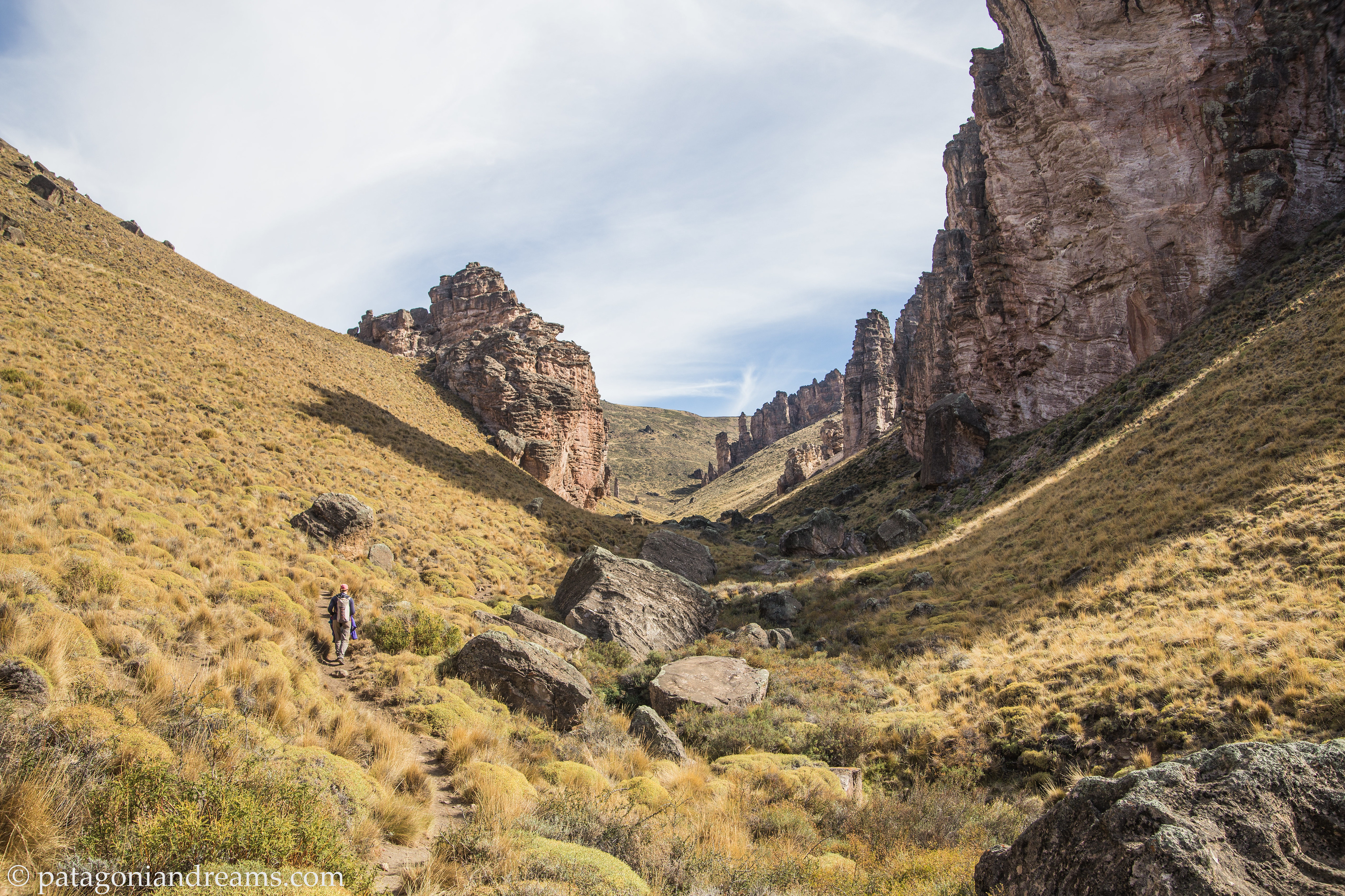
 The Cueva de las Manos is an archaeological site with 10.000 years old cave paintings, located in the deep canyon of the Pinturas River, northwest of the Province of Santa Cruz, Patagonia, Argentina. There are hundreds of images of hands in collages on the walls. There are also images of animals that can still be found in the area. Furthermore, there are many images of the hunt.
 It’s a small hike from the information centre to reach the Cueva de las Manos. Santa Cruz, Patagonia, Argentina.
 The Ruta 40 runs parallel to the Andes Mountains and extends along or through several national parks. It is the longest backroad in Argentina, crossing from south to north and passing through several tourist regions and the main attractions of its territory. We drove the Patagonian stretch for hours without crossing any oncoming traffic. We stayed overnight in the hamlet of Baja Caracoles on our way to the remote PN Perito Moreno. Local farmers gather in the café of the roadstop hotel, which is the only one in a 150km radius.
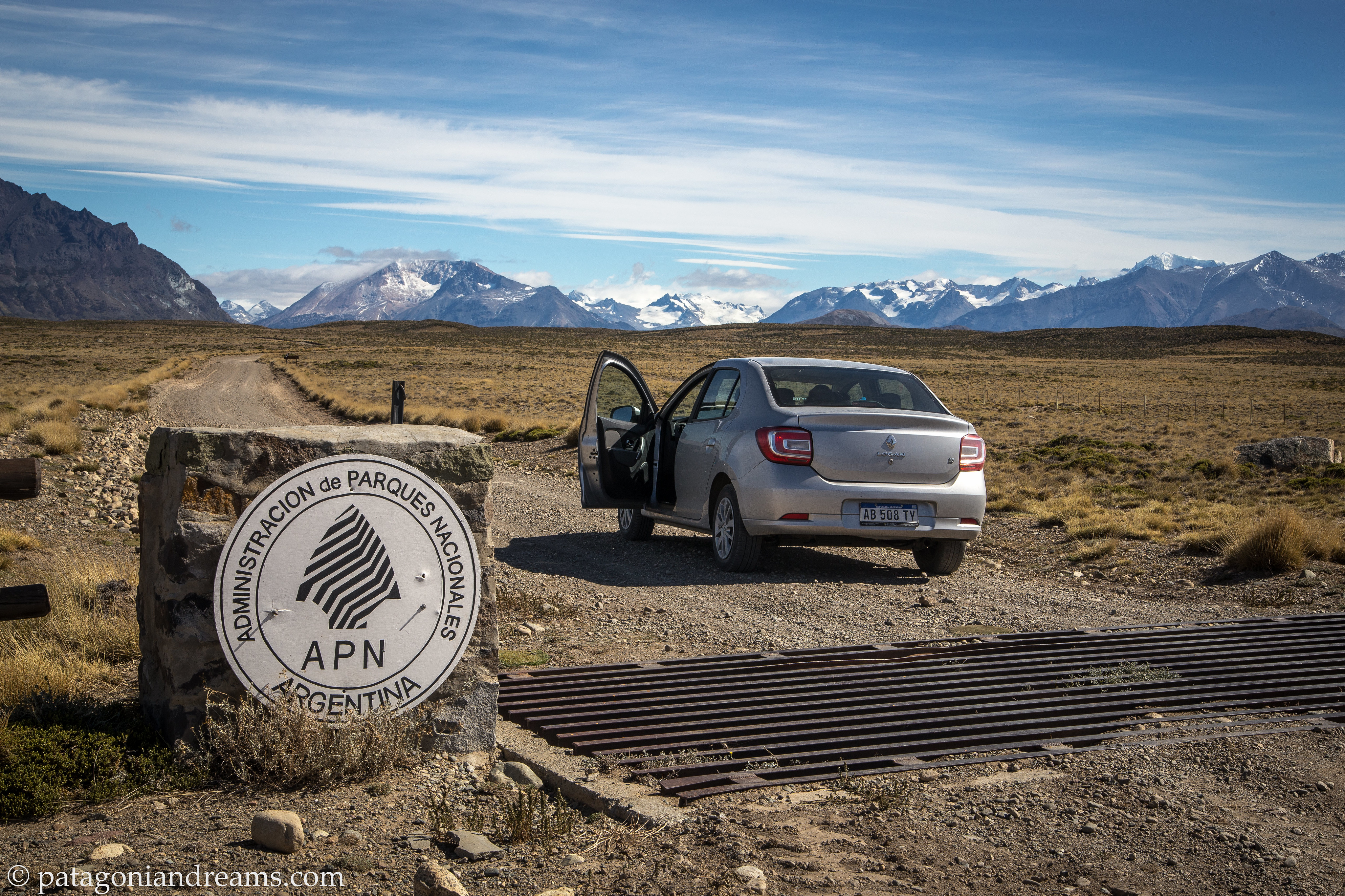 The Parque Nacional Perito Moreno is a national park of Argentina, located in the center-west of the province of Santa Cruz in Southern Patagonia, on the border with Chile. It is very remote. The closest resuply town is a 4 hours drive away of which 2 hours on a bad gravel road.
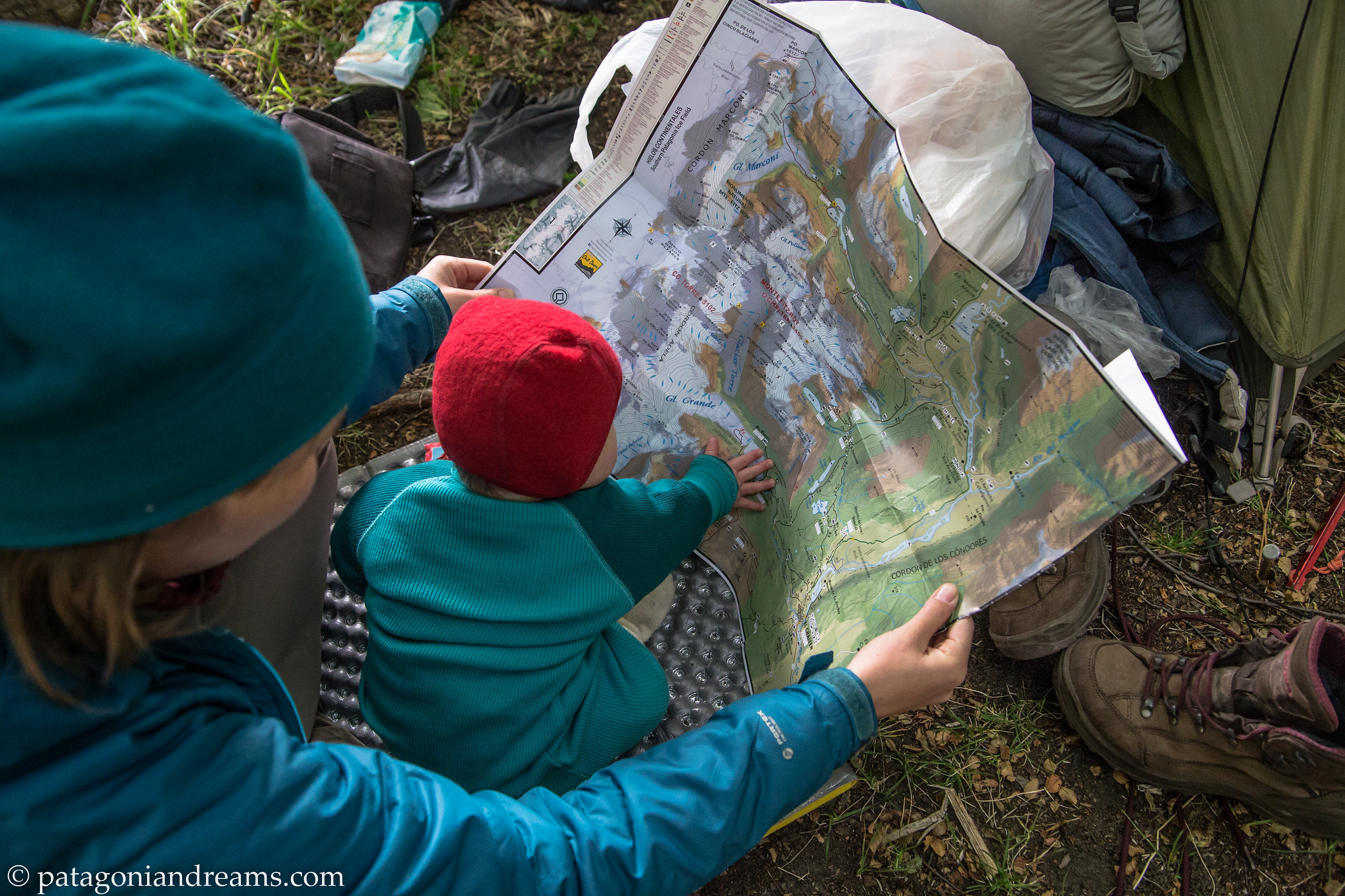
“We initially planned a 5-day trek to the base of Cerro San Lorenzo, but after just 3 days, we had to leave the park. Baby Bosse developed a high fever, prompting our early departure. However, we promised to return, and we fulfilled that promise in February 2022 (trip report in the next blog update).
 The Parque Nacional Perito Moreno got recent funds from the Butler Conservation fund to build a netwerk of shelters throughout the eastern side of the park. The connection trailnetwork have the potential to become world-class trekking grounds, but for now, the park stays very remote and out of reach of most visitors to Patagonia. We stayed the night in the Gilberto shelter at the San Lorenzo trailhead.
 The Lagos Escondidos website has all necessary information for a wonderfull multiday adventure in the park.
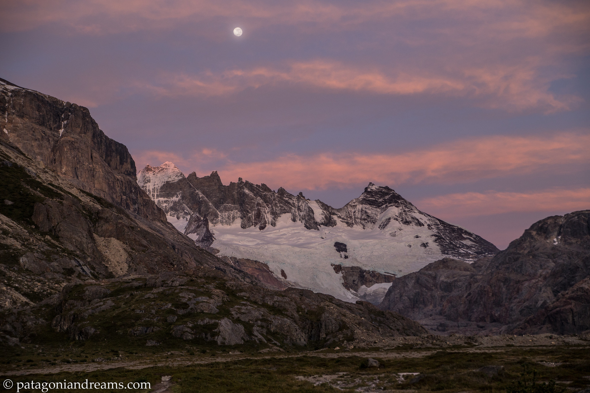
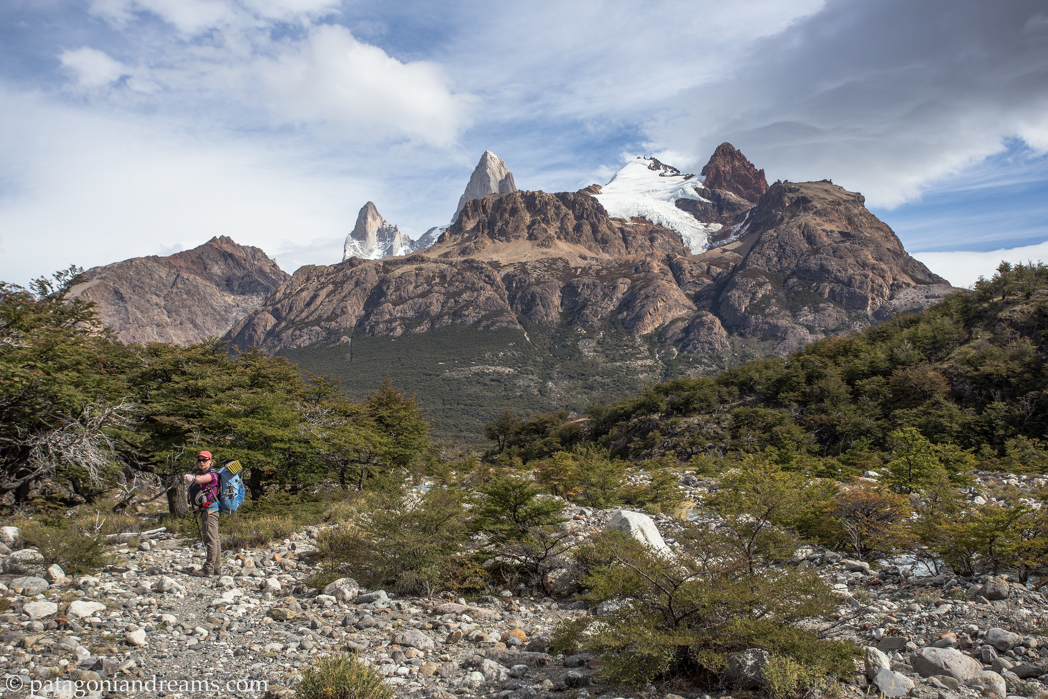
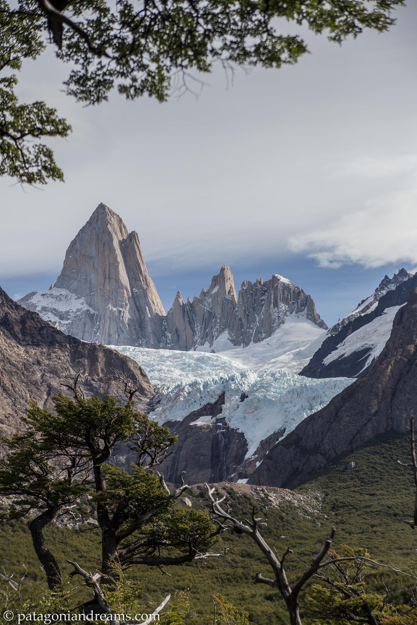
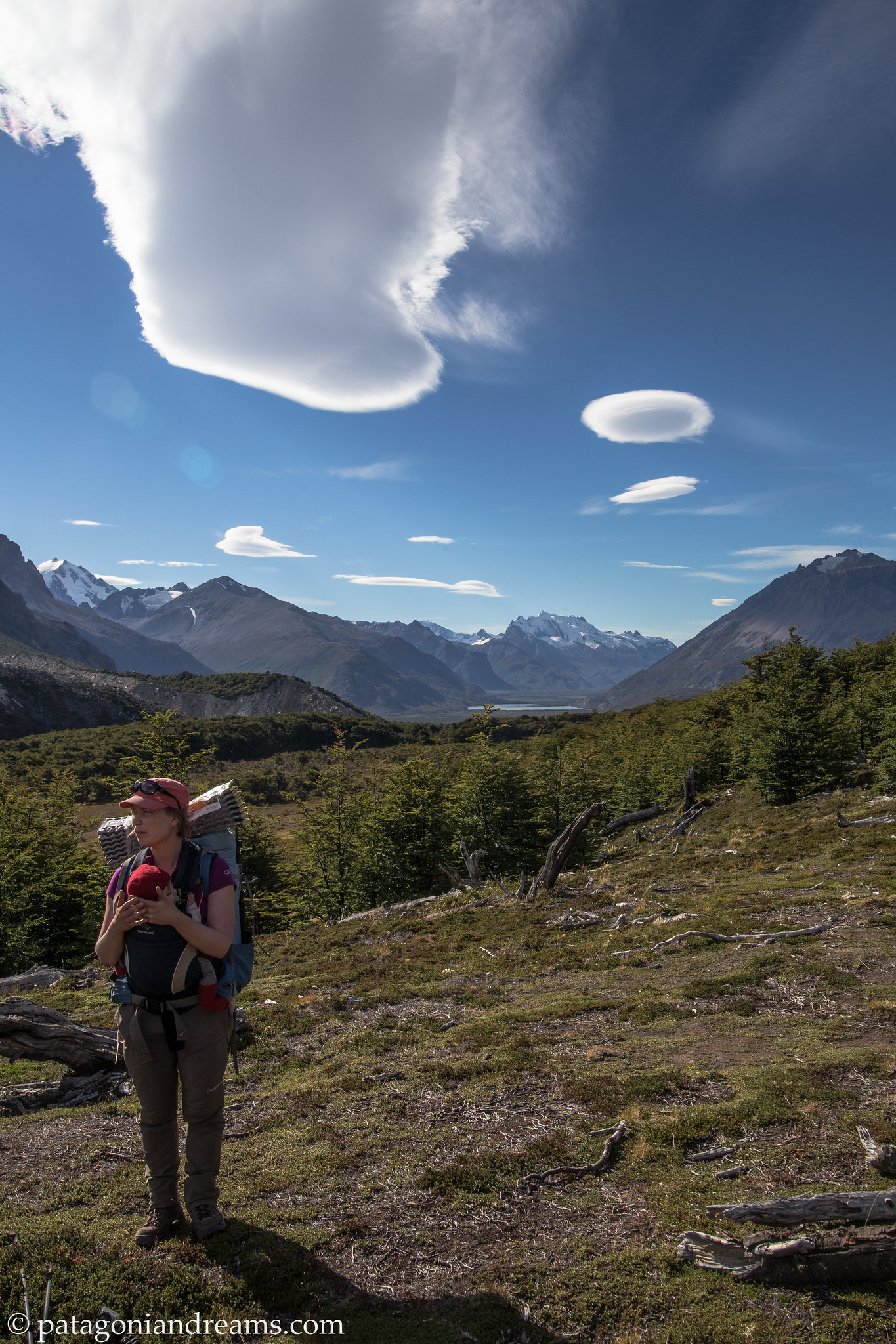
 Cerro León (1405m) offers beautiful views both to the north – Río Lácteo Valley and Cerro Volcán and to the south – the turquoise colored Lago Belgrano and Peninsula Belgrano (on which we would do a 4 day trek during our 3 month trip in 2022, see report in future blog post).
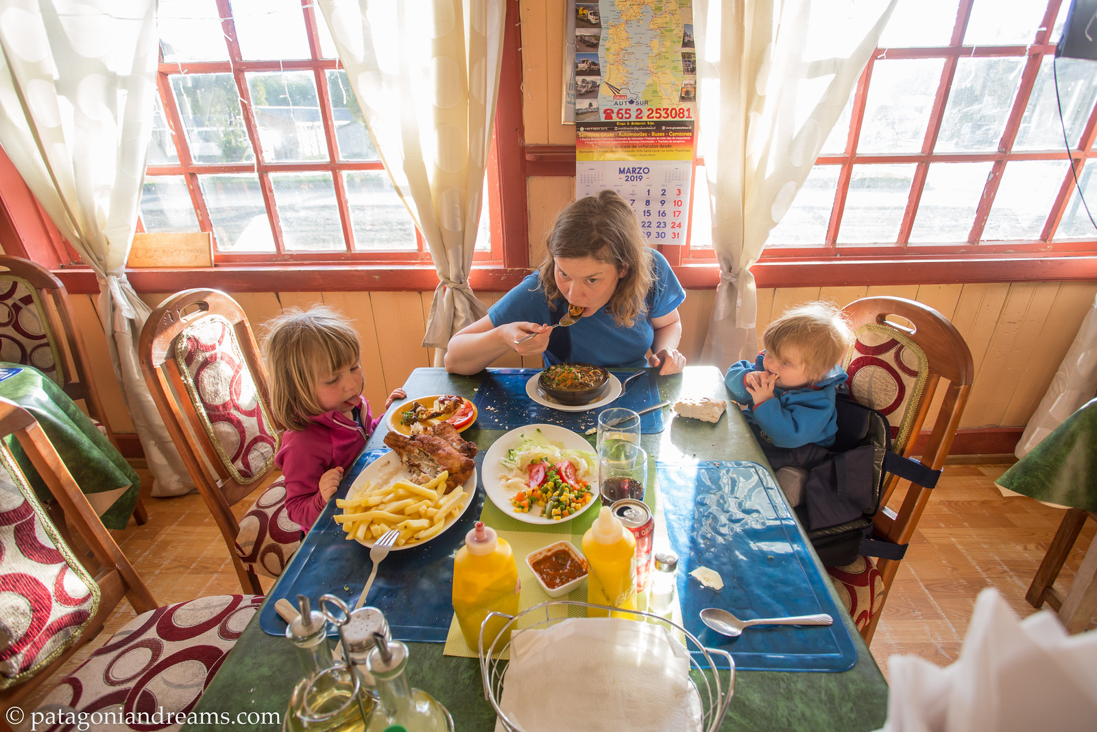
 In Los Antiguos we let the baby sweat out the bronchitis. The oasis is located near the border with Chile and on the shores of Lago Buenos Aires, where the economic activity par excellence is fruit and vegetable farming.
We cross into Chile to travel back northward on the Carretera Austral (Austral Highway). More than 1,200 kilometers of natural beauty await you on this scenic Patagonian Route. Adventures we had on that stretch you will find in previous blog posts from 2013 and 2016. Chilean government promotes the region through the Ruta de los Parques website .
 Close to Chile Chico (just across the border from Los Antiguos) you can walk the Circuito Cueva de las Manos, Piedra Clavada y Valle Lunar in the new Patagonia National Park. It allows to appreciate very special rock formations of 350 million years, older than the Andes self.
 Lunch break in the Valle Lunar, near some ancient rock cave paintings.
 After crossing the the Lago Gen. Carrera by ferry the majestic Cerro Castillo range never fails to dissapoint.
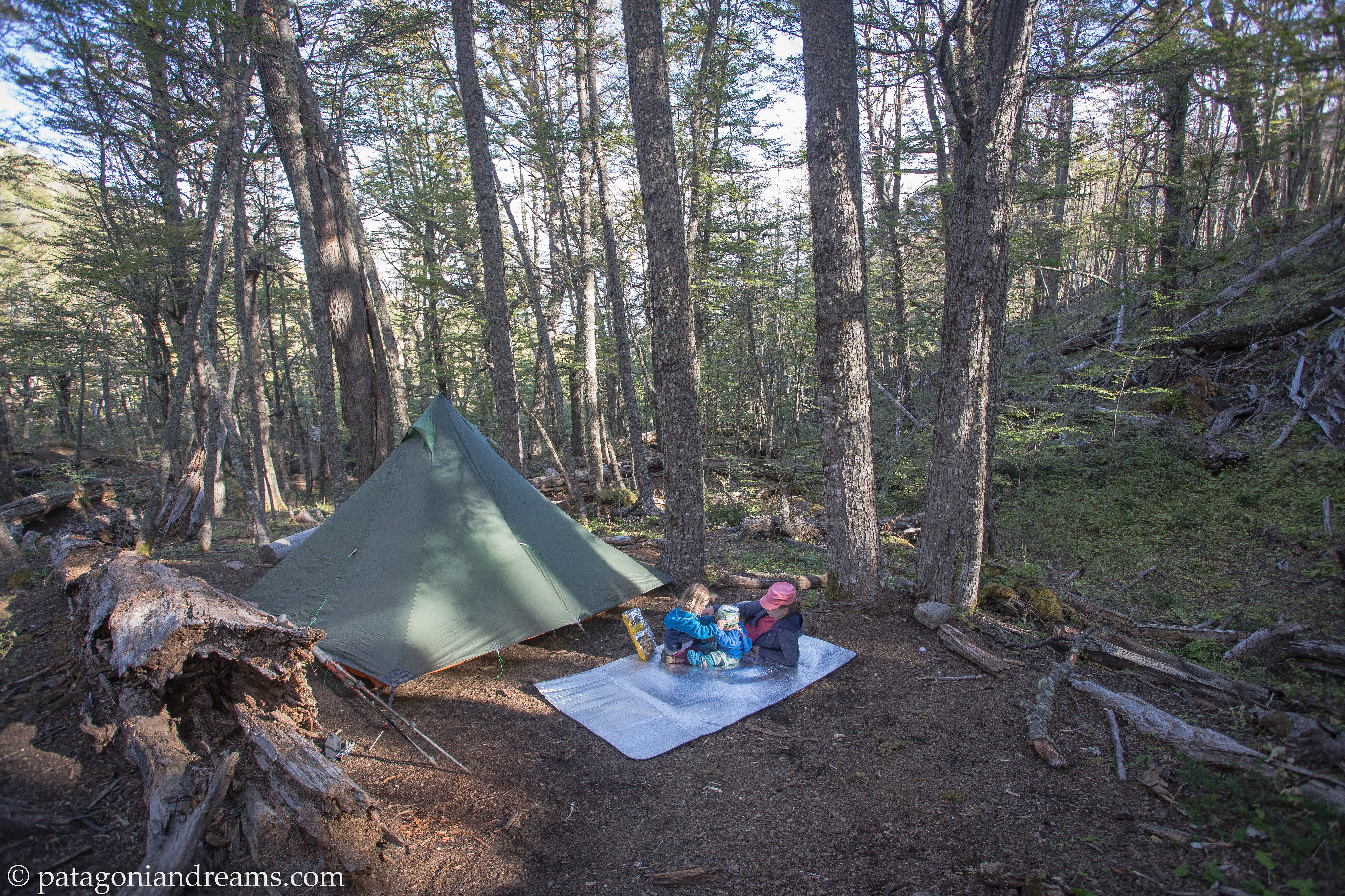 In the Cerro Castillo National Park we did a 3-day overnight trek into the valley Neozelandes. Here we set up the tent at camp porteadores.
 In the Cerro Castillo National Park we hiked up Morro Negro during our 3-day overnight trek into the valley Neozelandes.
 In the Cerro Castillo National Park we hiked up Morro Negro, high above the Rio Ibanez valley, during our 3-day overnight trek into the valley Neozelandes.
 Coming down in windy conditions from the Cerro Castillo National Park.
 Picnic stop in Reserva Nacional Lago Las Torres. Carretera Austral (Ruta 7). Aysén, Chile.


Vicente Pérez Rosales National Park , Los Lagos, Chile.

Vicente Pérez Rosales National Park , Los Lagos, Chile.

Vicente Pérez Rosales National Park , Los Lagos, Chile.

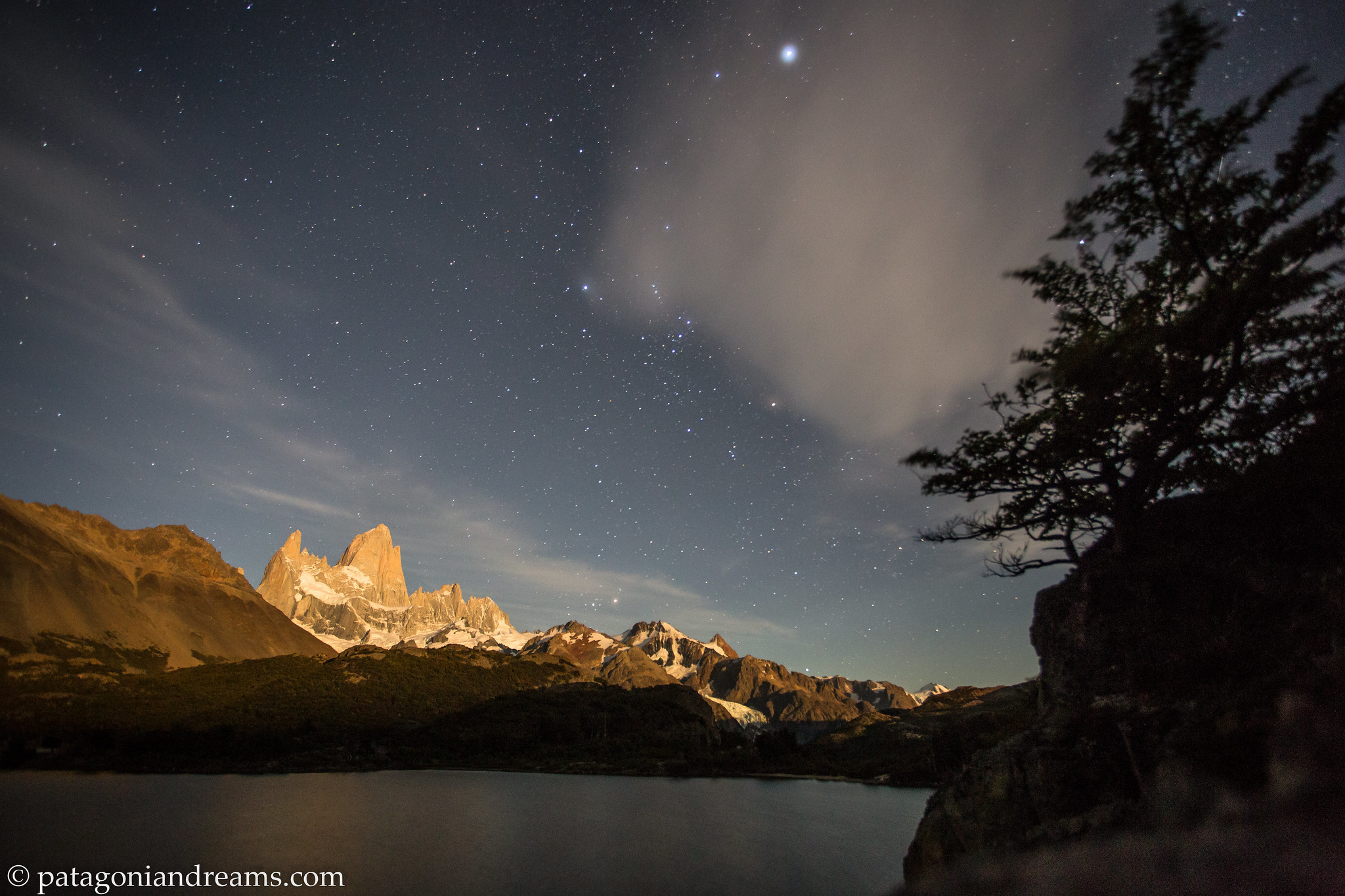
 Twinkle, twinkle, little milky way. Lago Llanquihue. Los Lagos. Chile.
 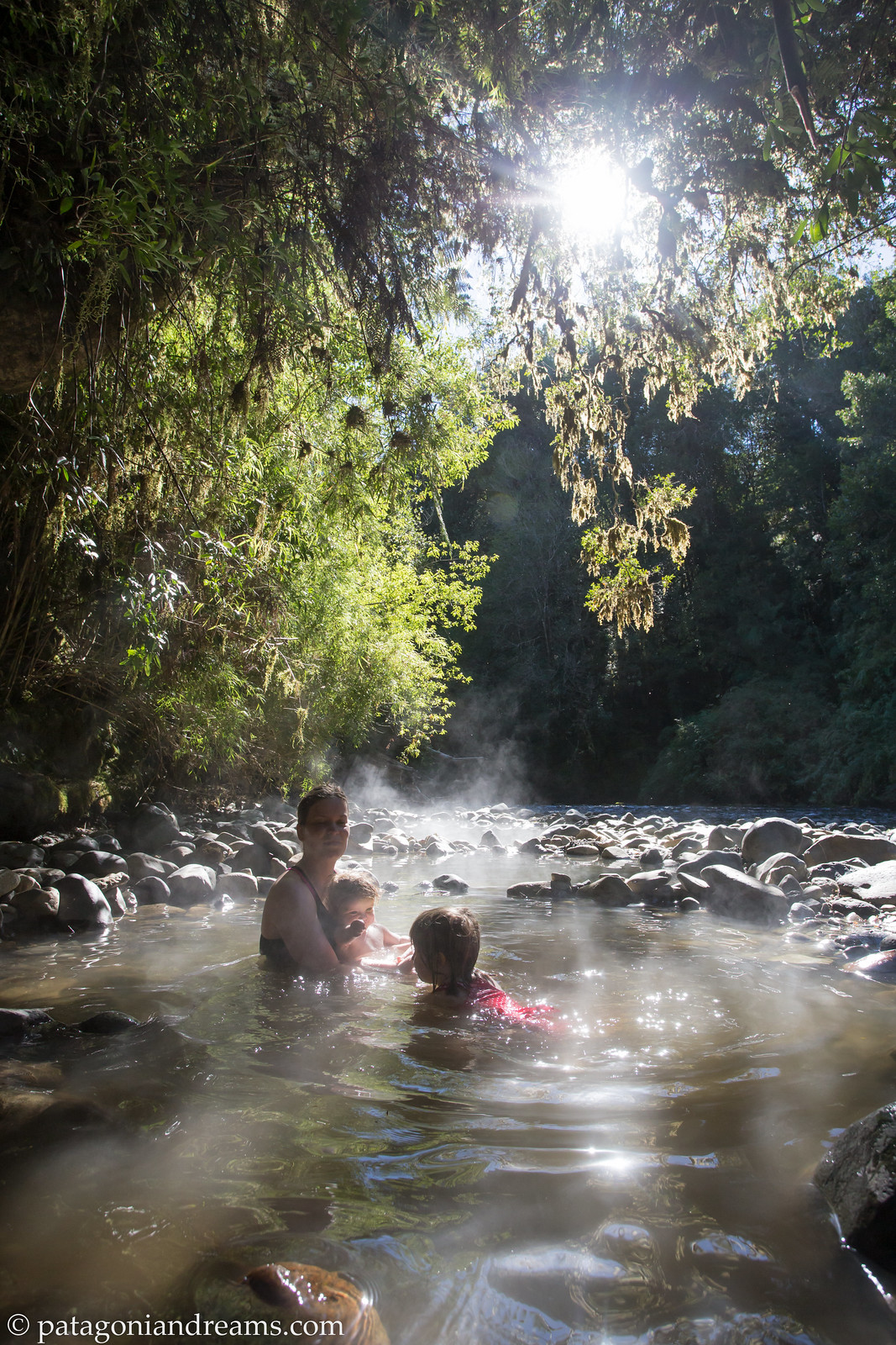 Pozones thermales in the shallows of Río Chanleufú. Puyehue National Park. Los Lagos. Chile.


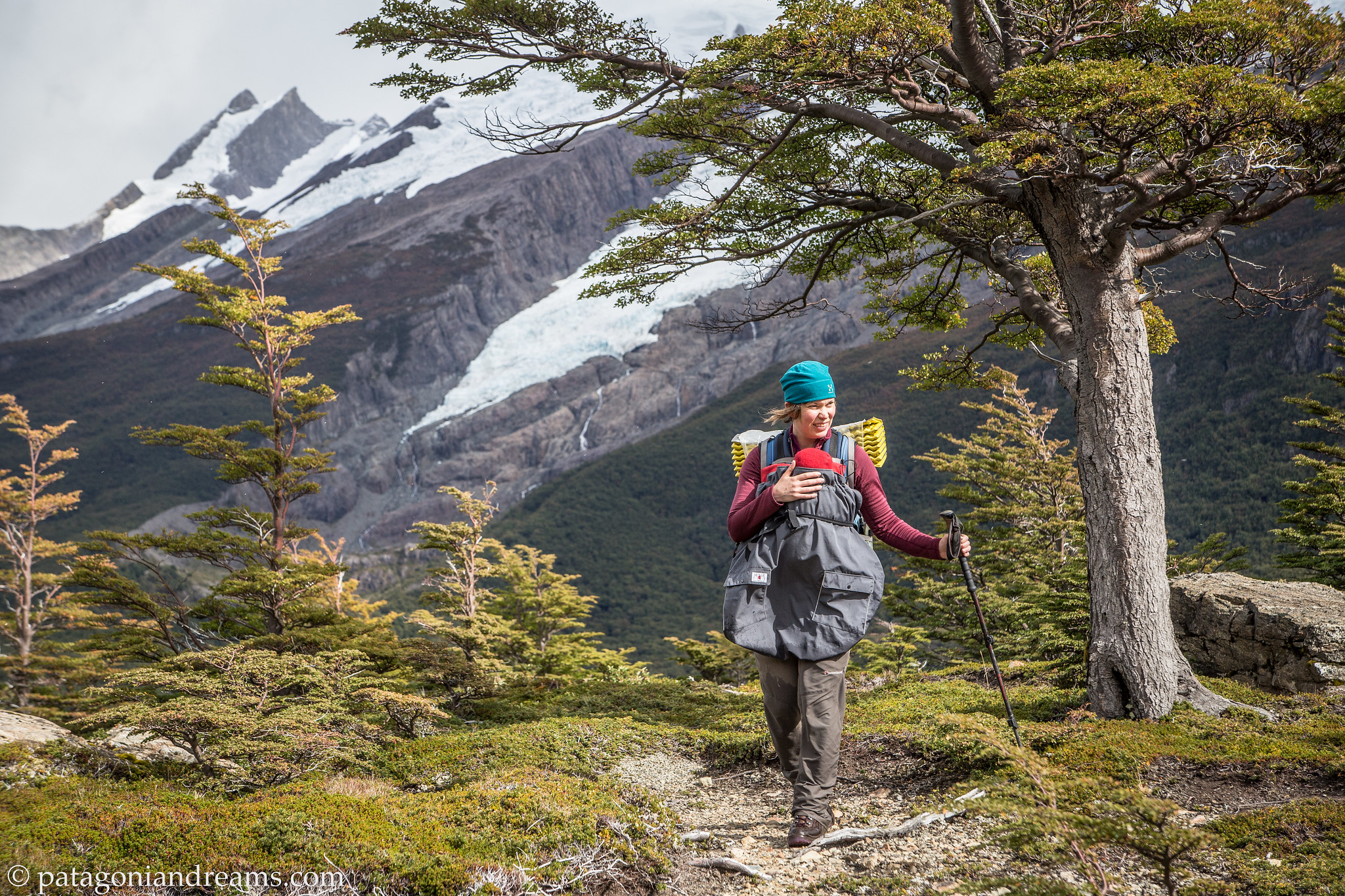
 The hike from Pampa Linda to Refugio Otto Meiling is well-marked, winding through the lenga forest and gradually ascending towards the iconic Cerro Tronador. The final stretch becomes rocky and more exposed, with trail markings painted on stones. This challenging hike covers approximately 12 km and boasts an ascent of nearly 1100 m, so be prepared! Refugio Otto Meiling. is situated between the Castaña Overa and Alerce glaciers on Cerro Tronador and offers some of the best panoramic views in Patagonia. Refugio Otto Meiling. Nahuel Huapi National Park. Río Negro and Neuquén provinces, Argentina.
 All of history in one picture! This historic mountain hut was built in 1950 and named after the German mountaineer Otto Meiling. who is known for having explored the far corners of the Nahuel Huapi National Park. Río Negro, Argentina.

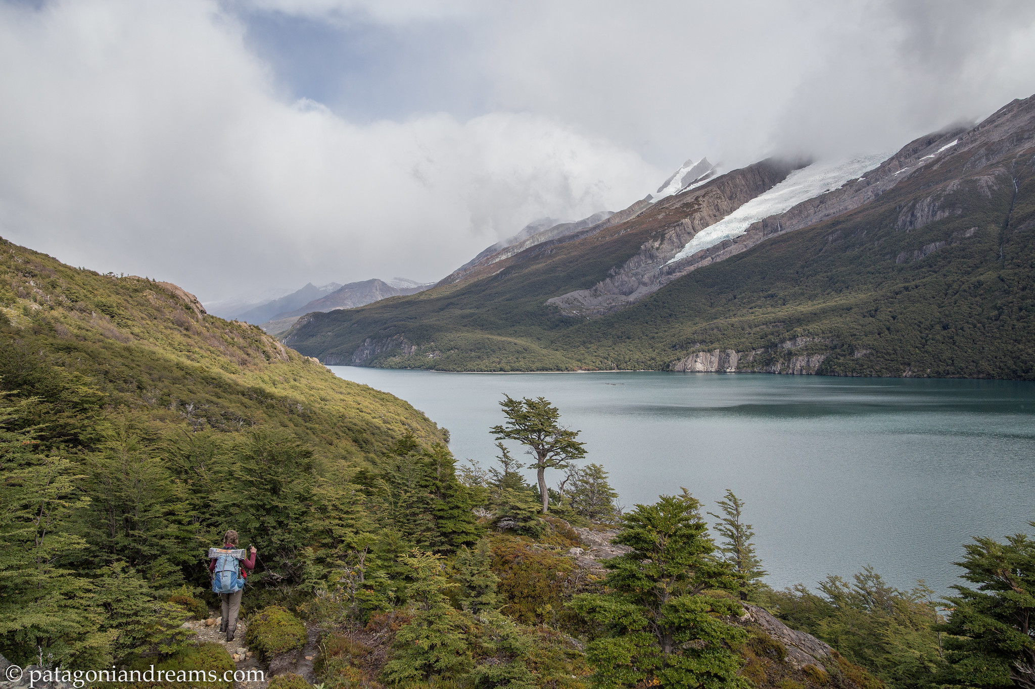
 Glaciar castaño overo spilling of the flanks of Cerro Tronador, PN Nahuel Huapi, Río Negro, Patagonia, Argentina